Polygon Mode
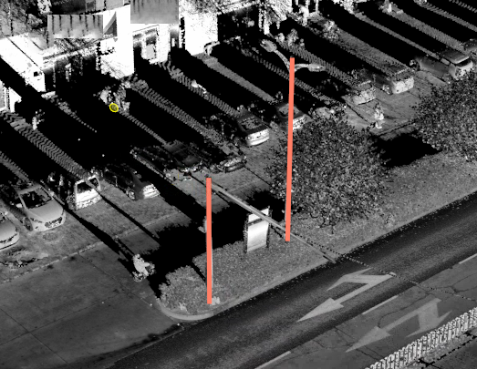
The generated rod is precisely perpendicular to the ground, while the real rod is not necessarily perpendicular to the ground due to the instrument scanning unilateral, tilt itself, thick at the bottom and thin at the top, etc.
Steps
1.In the Road Facilities panel, click on the drop-down logo on the right and select Detect Pole ![]() button.
button.
2.The Pole Detection setting dialog box should pop up:
Polygon mode.

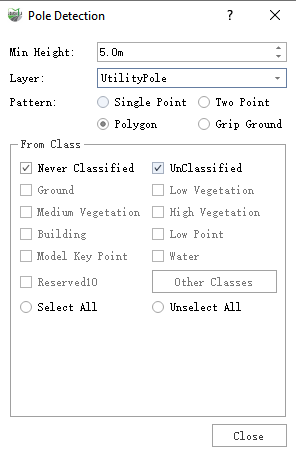
Polygon Mode Dialog box
Parameter description:
Min Height: The default is 5.0 meters, pole-shaped objects below set height will not be extracted, at the same time, if the height is set too low , it is easy to cause the shape of trees similar to the rod mistakenly extracted, recommended 5.0 meters.
Layer: The default is street light, the options are: Street light, telephone pole, and also custom layers to add a line layer, indicating the layer where the vectorization results are deposited.
Mode: Default is Single Point Mode, which indicates the operation mode of Tap Key Point.
Source category: Set the input category for category filtering, if the data has been classified, you can select only the point cloud category where the rod is located to improve detection accuracy.
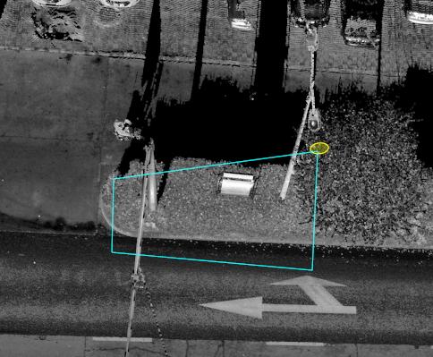
3.Click the left mouse button in order to select the polygon area where the rod is located, double click the left mouse button to end polygon area box selection, and automatically start multiple rod detection, the details are as shown in the figure, and the yellow point is the key point of the mouse click.
When the box is selected, try to narrow down unnecessary areas to speed up the extraction process.

Click on the key point
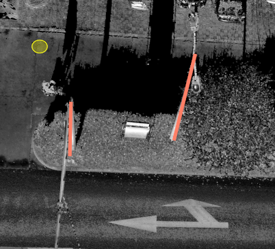
4.Wait for the detection completion pop-up window or detection failure pop-up window pop-up, that is, complete polygon mode rod automatic extraction.
When the boxed polygon area, no or not detected any rod, the Detection Failure pop-up window will appear, and the Detection Complete pop-up window will appear for the rest.

Detection completed

Polygon mode effect