Roughness
Function Description: An indicator that reflects the surface undulation and degree of erosion, typically defined as the ratio of the surface area of a terrain unit to its projected area on a horizontal plane.
How It Works
Roughness reflects the undulation and erosion degree of the surface. It is generally defined as the ratio of the surface area of a terrain unit to its projected area on a horizontal plane.
Roughness is a macroscopic terrain factor that can reflect terrain undulations and erosion levels. It is an important quantitative indicator for assessing the degree of surface erosion.
Roughness Calculation Process:
- Roughness: R = max(c1, c2, c3, c4, c5, c6, c7, c8) - min(c1, c2, c3, c4, c5, c6, c7, c8)
Here, ( c1 ) to ( c8 ) represent the values of the eight neighboring cells surrounding the central cell in a 3x3 window. The roughness is calculated as the difference between the maximum and minimum values among these neighbors.
Data Description
- This tool processes the data using a moving 3x3 cell window. If the processing cell is NoData, the output for that location will also be NoData.
Steps
- Go to Toolbox -> Raster Tools -> Surface Analysis -> Roughness tool, and double-click to open the tool dialog.
Roughness
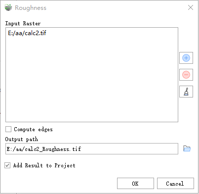
Parameter Description:
- Input Raster: The input surface raster.
- Compute Edges (Optional): Determines whether to calculate data for the edges of the raster and areas near NoData values.
- Output path: The output roughness raster. This raster is of floating-point type.
- Add Result to Project: If checked, a layer for the result data will be automatically created and added to the project.