Display by Height
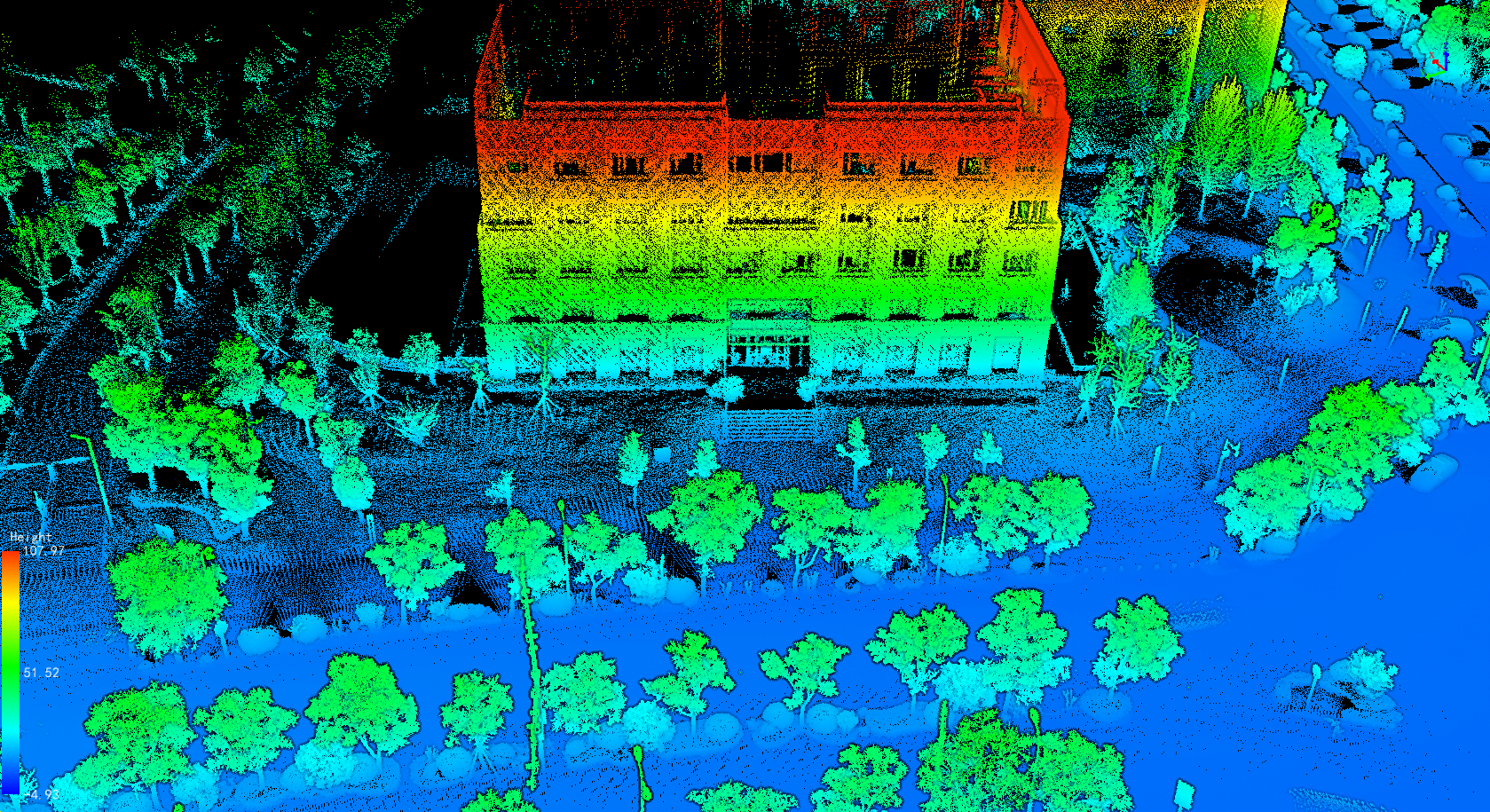
Function Description: It can be used for the display of point cloud data, mapping the elevation attributes of point cloud data to several evenly varying color intervals, and more intuitively showing the changes in the elevation value of point cloud data.
Steps
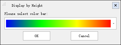
1.Click ![]() button and the Display by Height dialog box should pop up, as shown in the figure.
button and the Display by Height dialog box should pop up, as shown in the figure.

2.Select the appropriate color bar in the drop-down box and click the OK button. The color indicator in the lower left corner of the window automatically maps the elevation change range of the point cloud data to the selected color bar. At the same time, the point cloud data in the scene is displayed by elevation, which is enhanced with EDL display.

Note: This function only works on point cloud data.