Generate Intensity Image
The generated intensity image can be used with the Detect or Segment Targets Using Training Model function in the software's internal raster image for deep learning inference, producing a JSON result that corresponds to the image. This can then be used for back-projection of customized models for ground markings into vectors.
Steps
1.In the toolbox, click the Generate Intensity Image button under image Element.
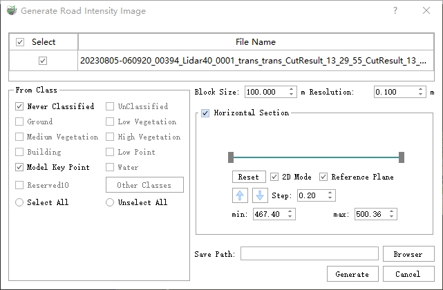
2.A Detection Settings Dialog Box will pop up:

Dialog Box
Parameter Description:
- Block Size: Default is 100.0m, which is the maximum size of the generated intensity image. If the selected point cloud area exceeds this size, it will be automatically segmented internally.
- Resolution: Default is 0.1m, which defines the resolution of the intensity image.
- Horizontal Section: Cuts the point cloud horizontally; the final generated image utilizes only the points within the section.
- Save Path: The generated intensity image along with the corresponding position and coordinate file (.xml file).
Results:
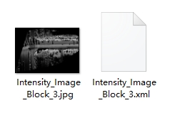
The final results consist of two parts:
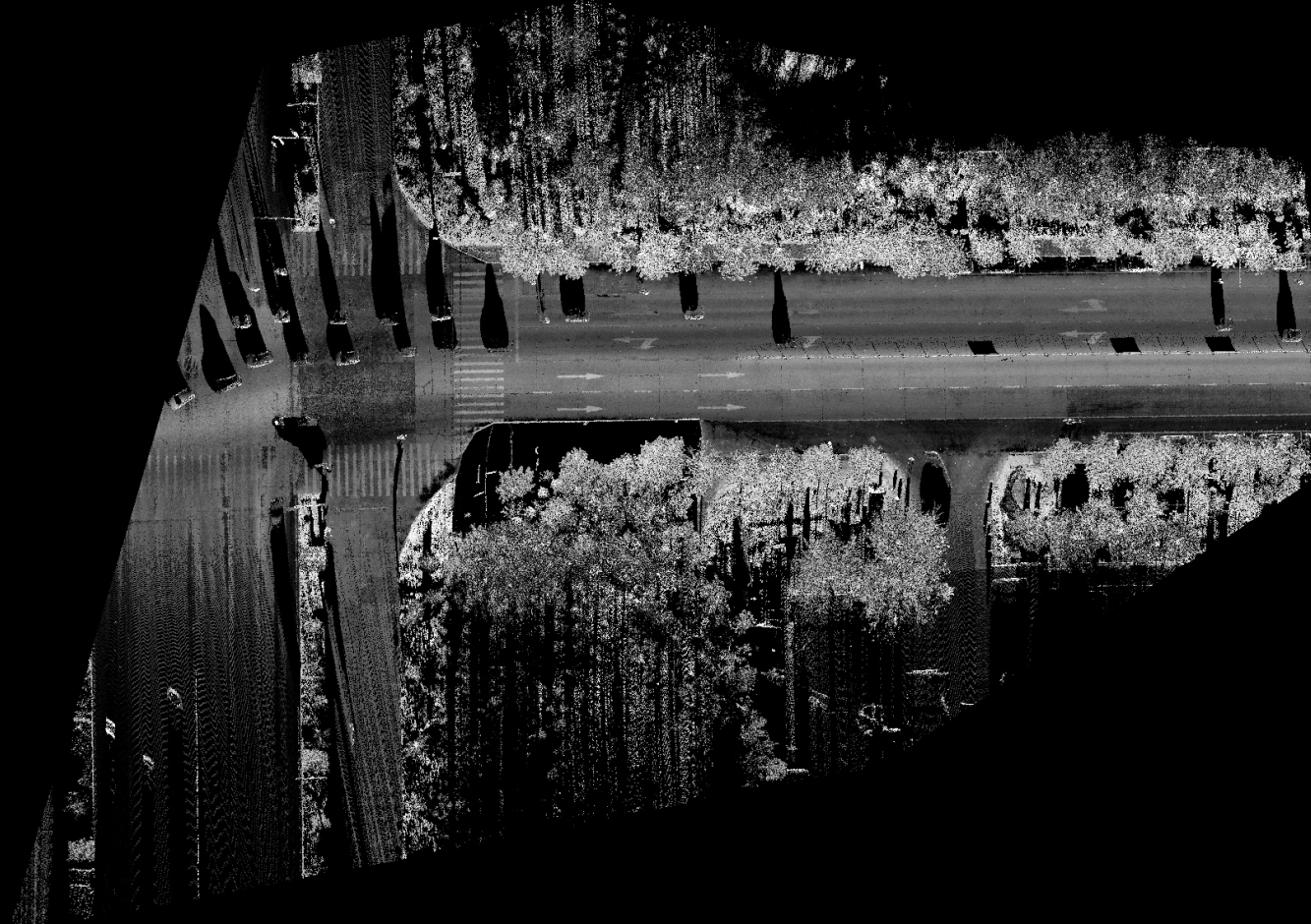
1.The intensity image itself (in .jpg format).
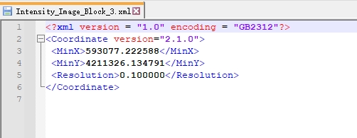
2.The corresponding coordinate file (in .xml format).

Reuslt1

Intensity Image

Coordinate File
The coordinate file is an internal file and should not be manually edited, as doing so may cause file corruption.