Add Road Facility Layer
Steps
1.Click the Function button to bring up the interactive dialog box. The first line of the combo box will list the point layers of the current project.
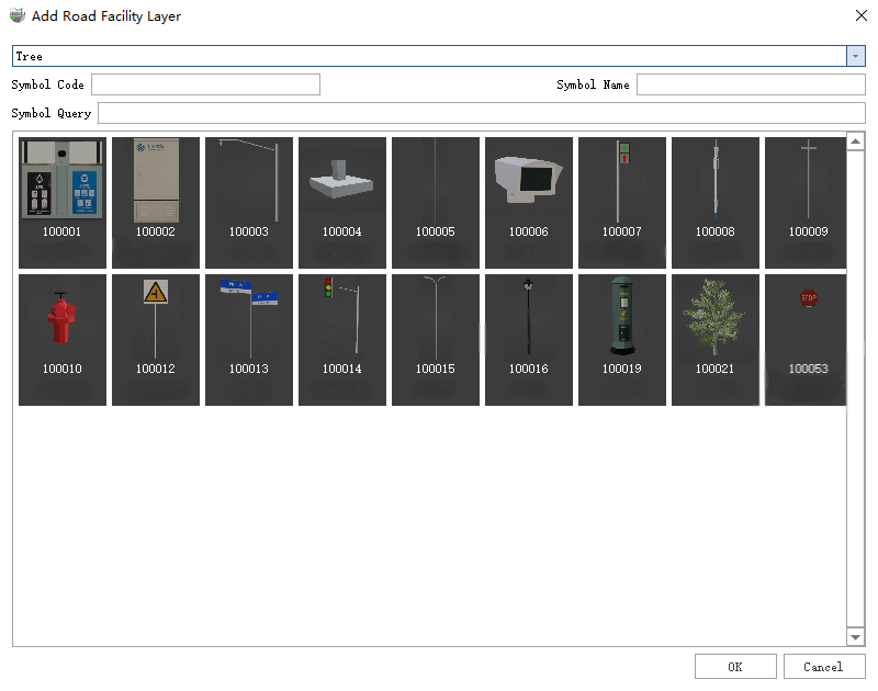
2.Select the destination vector layer, click Model Symbol, and Symbol Code and Symbol Name will be filled to the corresponding control.
3.After confirming that the information is correct, click OK and wait for the end of generation
Note: The dimensions of the generated model are the dimensions of the symbols in the model symbol library.