Tectonic Collect
Function Description: This function allows the user to use features to draw side elevations that are regularly parallel.
Steps
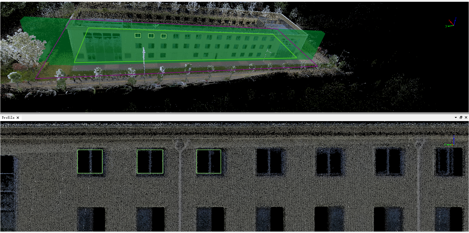
1.Activate Add Tectonic Lines![]() , left click to add horizontal tectonic line, ctrl + left click to add vertical tectonic line, and select the surface layer to be drawn.
, left click to add horizontal tectonic line, ctrl + left click to add vertical tectonic line, and select the surface layer to be drawn.
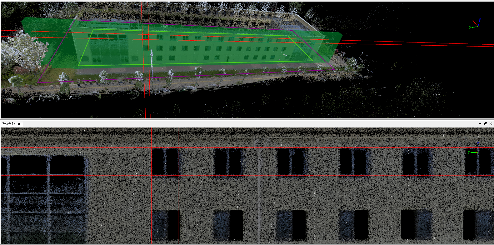
2.Click Mark Vectors ![]() 2.to automatically generate a rectangle in the middle of the four tectonic lines, which can mark multiple vectors continuously.
(When adding a tectonic line, the right mouse button is used to roll back the previous tectonic line, and you can roll back multiple times)
2.to automatically generate a rectangle in the middle of the four tectonic lines, which can mark multiple vectors continuously.
(When adding a tectonic line, the right mouse button is used to roll back the previous tectonic line, and you can roll back multiple times)
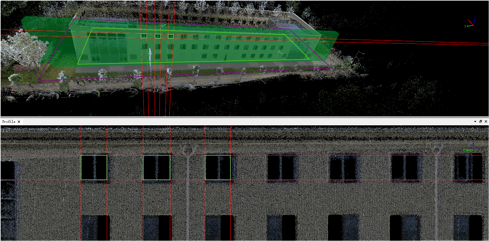
3.Click Clean Tectonic Lines ![]() to display only the generated vector.
to display only the generated vector.