New SLAM Georeference Project
Function Description: Perform data processing, registrition, and other operations based on the data collected from the handheld LiGrip and backpack LiBackpack devices.
Steps
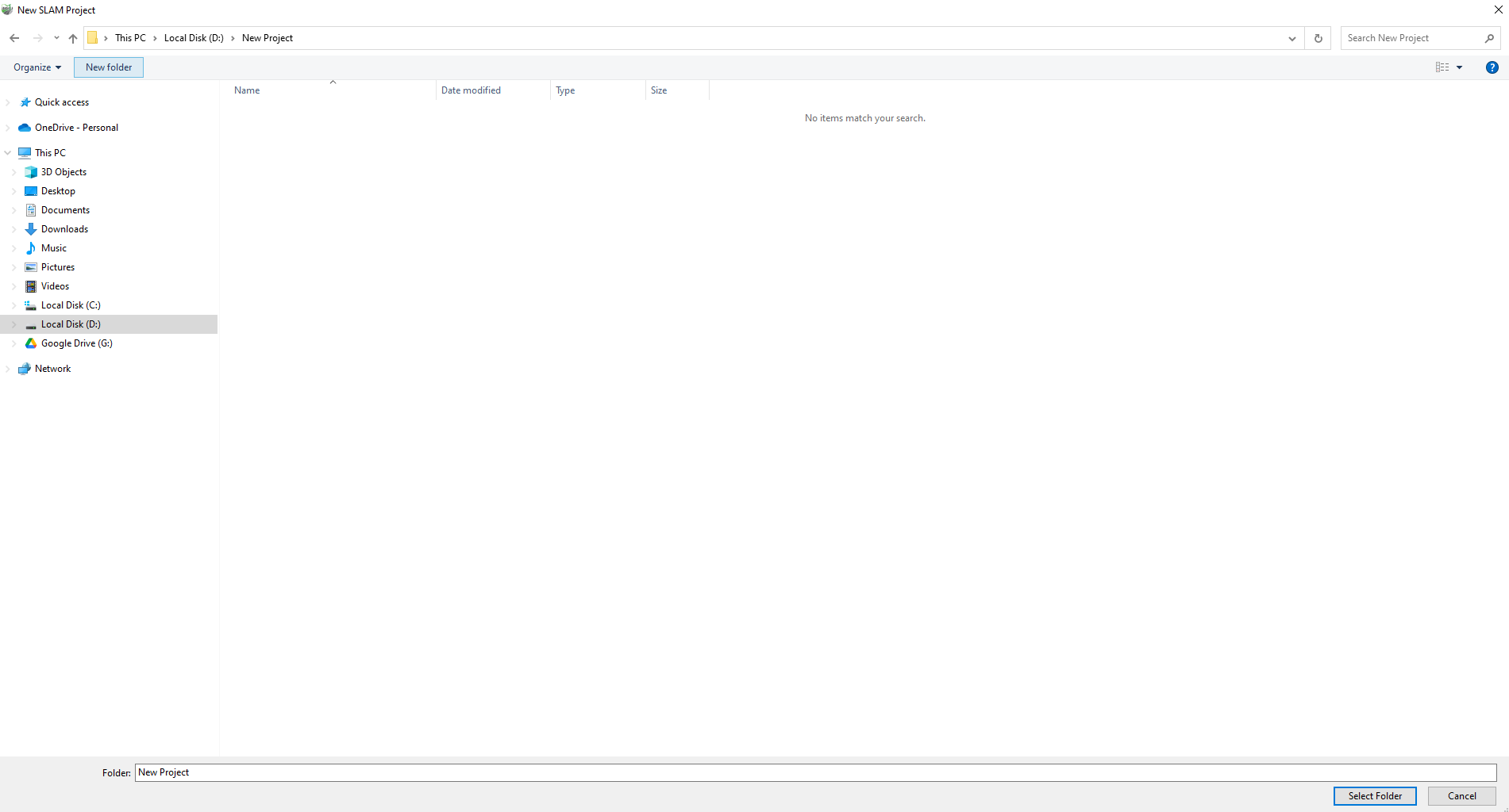
1.After launching the software, you can find the button related to creating a new SLAM solving project on the startup page or under the New File group.![]()
2.After clicking and selecting a folder, a new SLAM solving project file with the .mscan extension will be created in that folder, and the solving project interface will automatically open. In this interface, you can create, import, configure solving parameters, and set up processes for individual solving projects.
