Full Extent
Function Description: The global display function is suitable for the 3D window of the LiDAR360MLS software, which is used to make all the data in the 3D window cover the entire window in the form of a top view, in order to achieve the purpose of global browsing of the data.
Steps
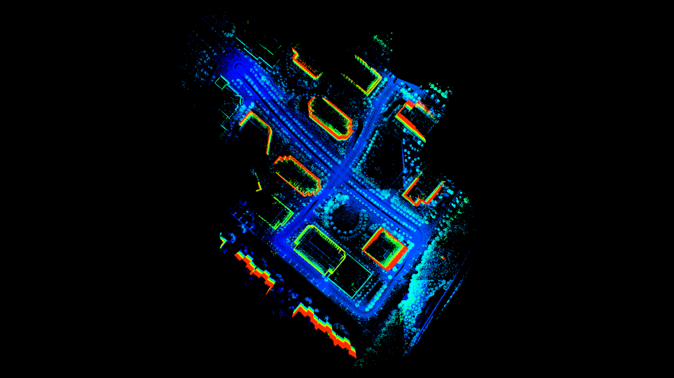
1.Click on the toolbar Full Extent ![]() button, the data in the 3D window will be automatically scaled to cover the entire window, as shown in the figure:
button, the data in the 3D window will be automatically scaled to cover the entire window, as shown in the figure:

Note: This function is only for views displayed in 3D; this function does not reset the center position of the viewpoint. If you need to reset to the default viewpoint, please click Full Extent.