Export Report
Function Description: After calculating the three-dimensional visual space quality evaluation indicators for streets, it can generate result files. The Export Report button can organize these result files into an HTML report.
Steps
1.Launch the software and click on the Export Report ![]() button. This will bring up the parameter settings interface for exporting the report.
button. This will bring up the parameter settings interface for exporting the report.

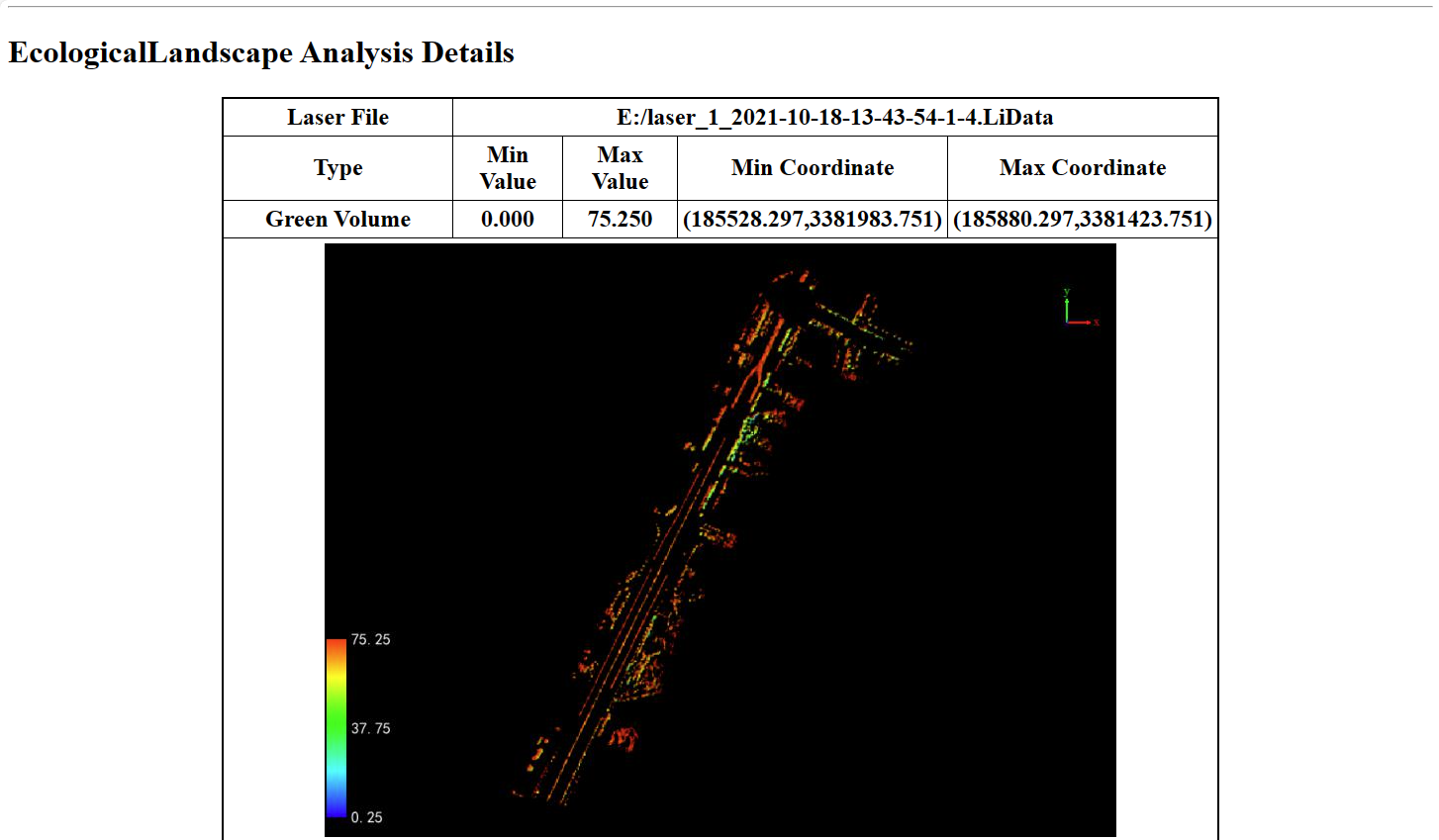
- Green Volume: Calculate the volume of green vegetation for each ground grid. Check this checkbox to calculate this indicator.
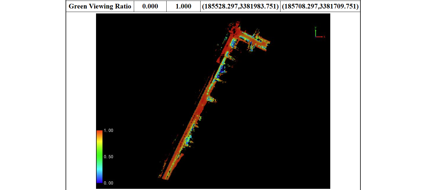
- Green Viewing Ratio: Calculate the ratio of visible green vegetation to total vegetation. Check this checkbox to calculate this indicator.
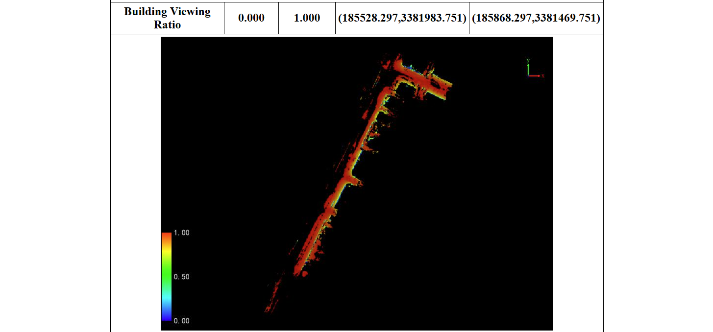
- Building Viewing Ratio: Calculate the ratio of visible buildings to total buildings. Check this checkbox to calculate this indicator.
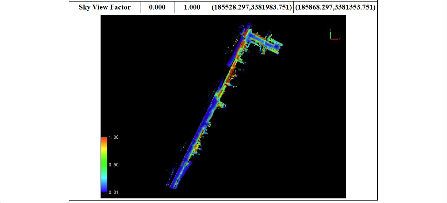
- Sky View Factor: Calculate the ratio of unobstructed sky view to total view. Check this checkbox to calculate this indicator.
- Output Path: Set the path for storing the report.
2.The report content is divided into three main parts: the header, the table of contents, and the specific content.
(1)Header and Table of Contents.

(2)Clicking on "Pavement" in the table of contents will navigate you to the corresponding section. The specific content includes:


3.Multiple point clouds are supported, allowing the merging of multiple thematic map reports. It also supports multiple point clouds without merging, generating a separate result report for each individual point cloud.