Main Window Introduction
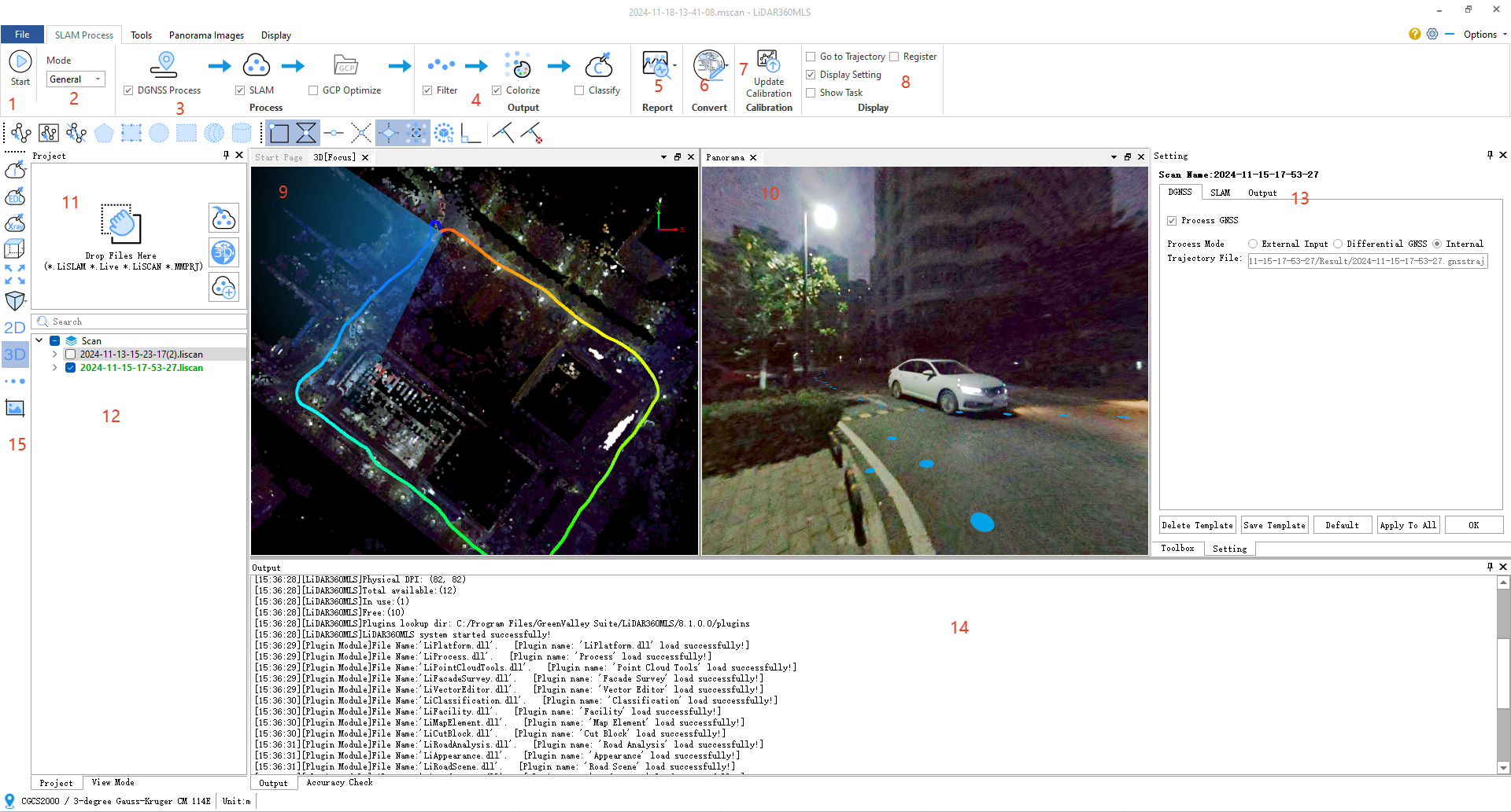
1.Start
After clicking 'Start', SLAM processing will execute automatically.
2.Mode Selection
Different modes correspond to different scenarios and collection platforms. Generally, the default is set to general.
3.Process
Includes DGNSS, SLAM, GCP optimization, etc.
DGNSS is PPK (Post-Processed Kinematic);
SLAM is for SLAM data processing;
GCP optimization uses the absolute coordinates from GCP collection to provide absolute position coordinates for the point cloud. Generally, this is performed after the SLAM processing is completed and the point cloud is obtained.
The selection of DGNSS,SLAM,output during processing is automatically determined by the data conditions.
4.Output
The steps in the output are automatically selected based on the data conditions; if a step is not needed, it can be unchecked.
Filter is used for denoising and smoothing the point cloud;
Colorize is the process of assigning colors to the point cloud, giving it RGB values;
Classify involves using deep learning algorithms for ground, vegetation, and power line extraction;
Classification requires you to have MLS platform license.
5.Report

Includes GNSS report (PPK) and accuracy check report;
6.Convert

You can organize or open the current SLAM processing project as an MLS mapping project with one click.
7.Update Calibration
Output IMCAB.T file to the Result folder.
8.Display
Control the display of the interface, including settings, trajectory, tasks, registration, etc.;
9.3D Window
Three-dimensional display of point clouds, trajectories, image positions, etc.
10.Panorama Window
Display panoramic images and point clouds.
11.Import, New Project Window
Supports importing previous projects, creating new projects, or importing 3D point clouds.
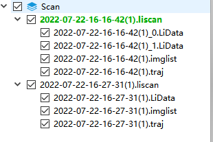
12.Project List

Can control the display, data export, and individual close-loop adjustment of multiple processing projects, as well as the data merging of multiple projects.
13.Settings Window
Settings can be configured for DGNSS, SLAM parameters, and output parameters.
14.Output Window
Intermediate LOG output during the data processing process.
15.Data Display Settings
Set the display mode of the data (color, intensity, elevation), as well as quick view switching (frontal view, bottom view, side view), etc.
