Create TIN
Note: To obtain the correct road surface TIN, please ensure the correctness and completeness of the key points.
Steps
1.Click the Create TIN ![]() button.
button.
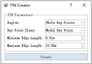
2.The Create TIN Dialog pops up:

TIN Construction Dialog
Parameter Explanation:
- Region: Select the range of the area where you need to construct TIN.
- Whole Key Points: All the points in the selected key point class to participate in the construction of TIN. No manual participation is required.
- Polygon Region: Define a polygon area, the key points located in the area participate in the construction of TIN.
- Key Point Class: Select the key point class to participate in the construction of TIN.
- Minimum Edge Length: If there is an edge in the TIN mesh triangle that is shorter than the minimum edge length, the triangle will be deleted. Combined with the maximum edge length parameter, it ensures that the generated TIN does not contain triangles that are too short or too long.
Maximum Edge Length: If there is an edge in the TIN mesh triangle that is longer than the maximum edge length, the triangle will be deleted. Combined with the minimum edge length parameter, it ensures that the generated TIN does not contain triangles that are too short or too long.
Create: Generate TIN according to parameters.
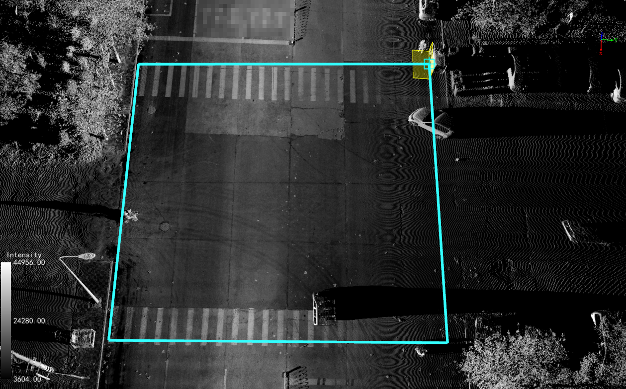
3.Grid Area Definition
All Key Points Mode: No manual participation is required.
Polygon Area Mode: Click the left mouse button to add a polygon point; right-click the mouse to go back to one point; double-click the left mouse button to end the drawing.

Grid Area
4.Click the Create button to start to build, and wait for the detection to end.
5.Result display, TIN can be viewed in different modes through Display.