Toe Extractor
Function Overview
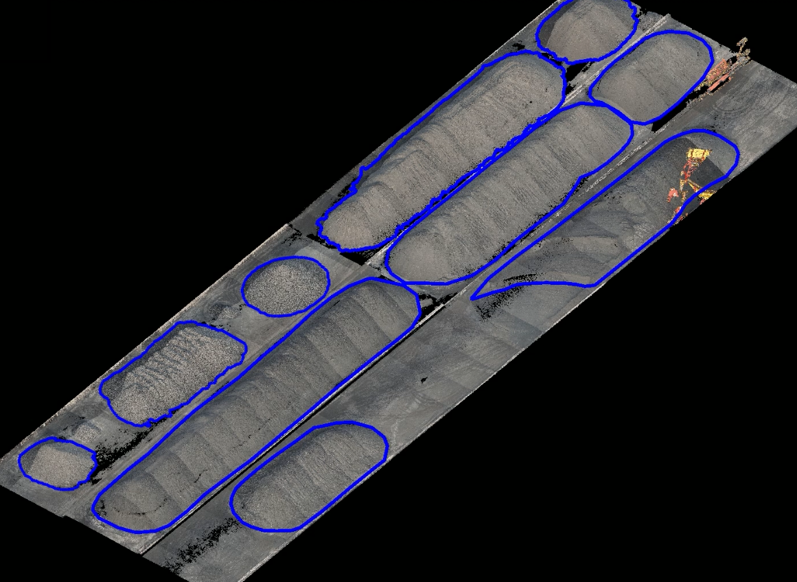
This tool can automatically create a polygonal toe line, and the resulting vector can be used for volume calculations.
Usage
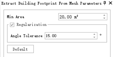
Start the vector editing module, select or create a new vector file, and in the feature extraction toolbar, click , to bring up the parameter setting box:

Set the parameters, then click on the pile in the point cloud as the "seed point" to start the extraction.
Parameter Settings
Maximum Size: The range of the point cloud for extracting the toe line. This parameter represents the side length of the square. The point cloud search is conducted centered on the "seed point".
Show Rect (default on): Whether to display the search box centered on the current mouse position.
Grid Size: This value can be set by sampling the data using the selection tool on the right. By clicking on a position in the point cloud, the local point spacing is estimated. Generally, it should be more than twice the point spacing. If the grid size is too small, there is a risk of extraction failure; if too large, the extracted toe line edges may not be precise enough.
Minimum Vertical Change: The vertical change amount at the grid size step. The toe algorithm grows from the seed point in all directions. If the vertical change at the step distance between adjacent cells meets the setting, it continues to extend. A minimum change amount that is too small will result in a larger than actual range, and too large may result in an incomplete toe line.
Missing Data: Whether the pile data within the extraction range is partially missing. Enabling this option sacrifices some efficiency but extracts a more complete toe line.
Smooth: Whether to smooth the extracted toe line. Enabling this function will provide a smoother result, but there may be some misalignment with the original point cloud.
The extracted toe line result is shown as follows:
