What are the supported POS formats by LiDAR360?
- ASCII format (*.pos) and binary format (*.out) are currently supported.
- *.pos file contains GPS time, longitude and latitude, flight height, roll, pitch and heading. An example is shown as follows:
- *.out file is a proprietary format of the company Applanix. Please refer to OUT File.
Is the strip alignment manual or automatic in LiDAR360?
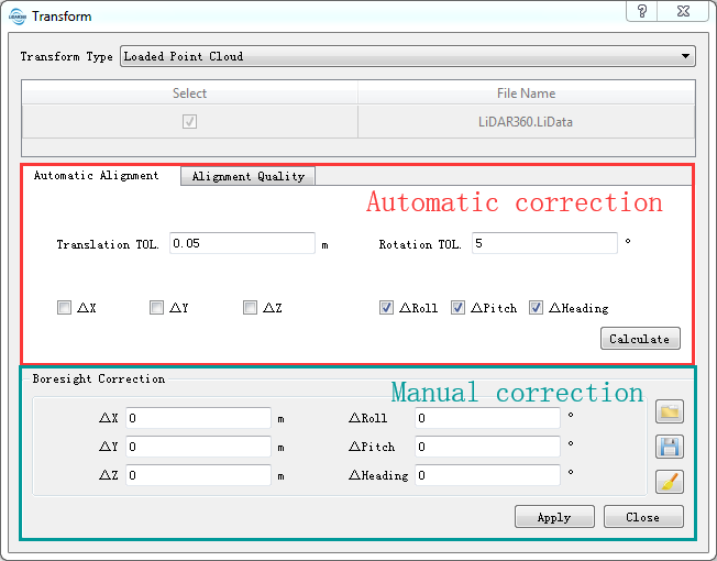
- There are both manual and automatic methods in LiDAR360. And the results will be displayed in real-time.
What is the time reference in POS file supported by LiDAR360? Is the GPS time necessary?
- The only requirement is that the time stamps in POS file and point cloud data files have the same reference (e.g., GPS Time or UTC Time). If they are not the same, you have to convert one to the other. Generally, time in point cloud counts in SOW(seconds of a week) or SOD(seconds of a day).
Sometimes, the point clouds after strip alignment are partially aligned, but partially not, and in some area they are even distorted. Why?
- This may occur if the POS file is of low accuracy. The principle of the Strip Alignment module is to correct boresight errors between laser scanner system and GPS/INS system. The precondition is that the POS accuracy for the acquired data meets the standard specifications. Otherwise the resulting point clouds are partially distorted. Boresight correction alone doesn't guarantee the aligned results with high accuracy.
Why there is no output when I try to clip the point cloud data with the POS file?
- Please check the GPS starting and ending time of both the POS file and the point cloud data. And see if there are any overlap between the GPS time of two files.
The data collected by the DJI L1 device, the track time reference is inconsistent with the point cloud GPS time reference, such as the track time in weeks and seconds, and the point cloud time information when the GPS is adjusted? (The range of GPS weeks and seconds is 0~604800, which can be used to distinguish GPS weeks and seconds and adjust GPS time)?
- The GPS time conversion process is as follows: Preprocessing -> Air Belt Adjustment, input the trajectory file, the trajectory file of the DJI L1 device is in .out format, after inputting the trajectory file, the GPS time conversion and coordinate system selection dialog box will pop up, check the box. Select "GPS time conversion", select the source GPS time, and "Convert to", select the data collection date for the acquisition date, and convert the trajectory time to the point cloud time.

