DSM
Summary
Digital Surface Model (DSM) refers to the digital representation of height of the surface including the buildings, bridges, trees etc. Compared to a DEM, a DSM contains more elevation information for buildings, bridges, forests and other surface object that don’t exist in the DEM. DSM is based on DEM and further covers the elevation of surface information other than the ground.
Usage
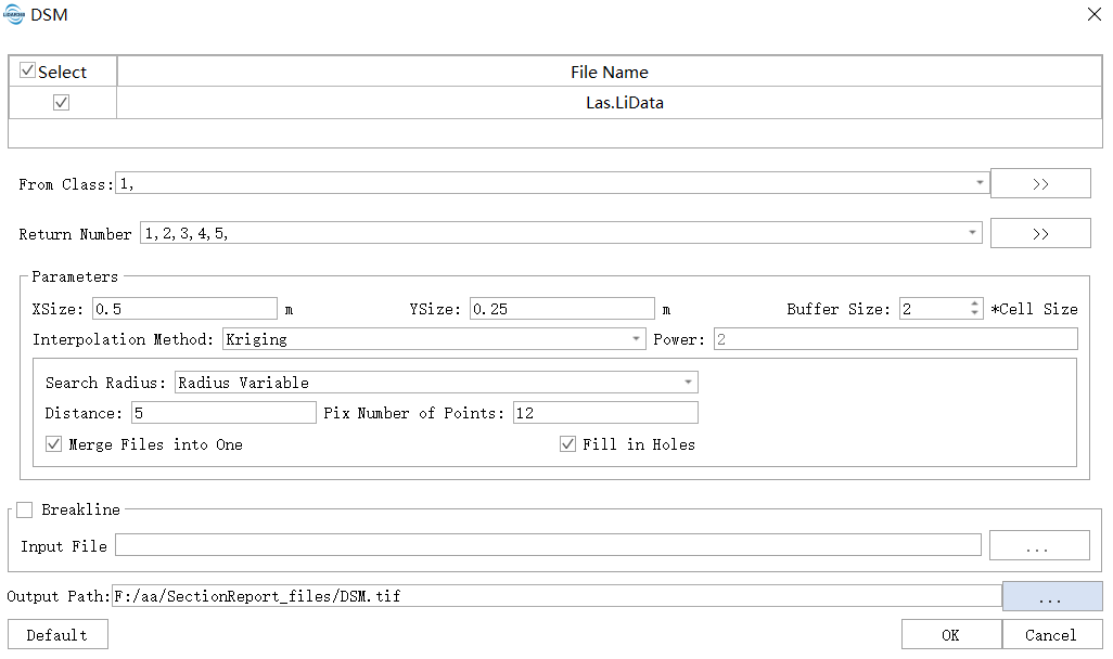
Click on the Terrain > DSM.

Settings
- Input Data: The input file can be a single point cloud data or a point cloud dataset, which must be already opened in LiDAR360 software.
- Include Class: Classifications of point cloud for DSM generation.
Parameter Settings: See Interpolation Parameters Settings.
Terrain feature objects (optional): Import terrain features (breaklines, simulated terrain points) component files, breaklines and simulated terrain points will participate in DSM generation.
- Output Path: Save DSM file to a path.
- Default Value: Click this button to restore all parameter defaults.
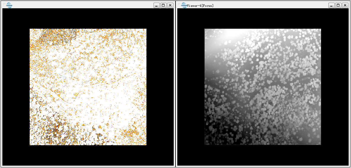
The DSM generated from the point cloud whose initial category is ground and unclassified. Point cloud data is shown on the left, DSM is shown on the right.
