REM(Relative Elevation Model)
Function Overview
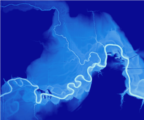
The REM (Relative Elevation Model) visualizes the geomorphic features of rivers by eliminating the natural slope of the terrain. The principle is to set the elevation at the riverbed to zero, and the elevation outside the river represents the height relative to the riverbed.
Usage
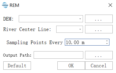
Click Terrain > REM.

Parameter Settings
- DEM File: The original DEM used to generate the relative elevation model.
- River Center Line Vector File: The river's main centerline vector file, which can be drawn using the vector editing module.
- Sampling Point Every: The distance between adjacent sampling points on the centerline, typically set to the width of the river channel.
- Output Path: The path to save the generated REM file.
Comparison between the original DEM and the REM is shown below:

