Classify by Height Above Ground
Functional Overview
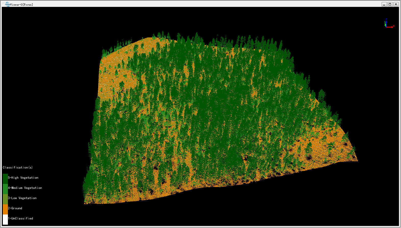
Classify points on the surface of terrain at certain heights. This function can quickly classify vegetation at different heights. For example, this classification can be done three times to distinguish low vegetation (0-1m), medium vegetation (1-10m) and high vegetation (10-100m), as shown in the figure below.

Usage
Click Classification > Classify by Height Above Ground.


Parameters Setting
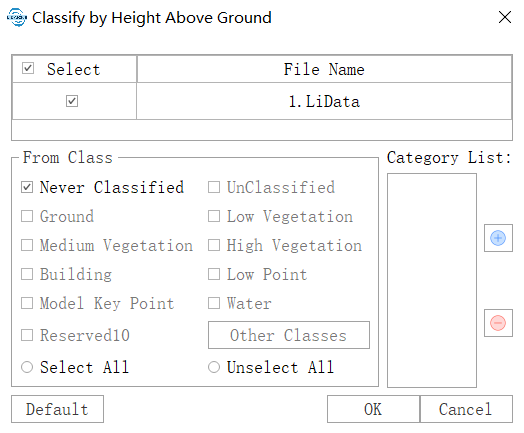
- Input Data: Make sure that each input point cloud data has been classified with ground points; Input files can be single point cloud data files or point cloud datasets; The data to be processed must be opened in LiDAR360 software.
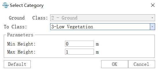
Category List (Support setting multiple height ranges for classification)
- From Class: The category to be classified.
- Ground Point Class: 2-Ground Points
- To Class: Target category for classification.
- Minimum Height(m)(Default is "0"): Minimum height difference above ground points in the area to be classified.
- Maximum Height(m)(Default is "1"): Maximum height difference above ground points in the area to be classified.
- Default: Click this button to restore all parameters to default values.
Note: This function requires ground point categories in the point cloud.