Vector Editor
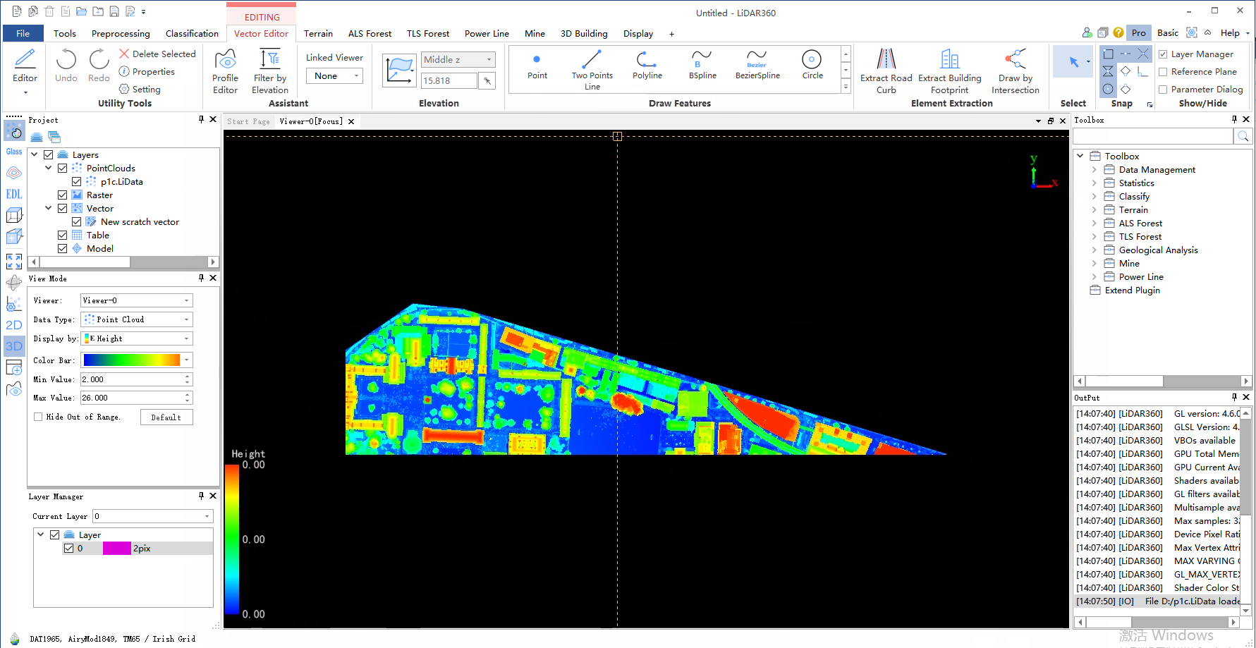
The vector editing function realizes the editing, modification and storage of vector objects, completing the vectorization part of the digital line drawing process. Based on point cloud, model and image data, it provides excellent display effect based on high contrast provided by point cloud, which can clearly distinguish buildings, vegetation areas, roads, street lamps, water bodies, bridges and other features. It generates vectorized results in formats such as SHP and DXF and supports integration with third-party software such as ArcGIS and AutoCAD.

By providing basic entity elements such as points, lines, polylines, rectangles, and polygons, the main key terrain vectorization is completed. The above-mentioned terrain entity elements are managed using a layer-based approach.
The vector object export function is provided to integrate the vectorization results into a DXF file for input into other mapping software. This can be symbolized and edited to output surveying and mapping results that comply with various standards.
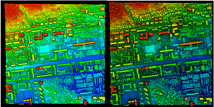
Note: In order to make the terrain categories clearer and more distinguishable, PCV processing can be performed on point cloud data before vectorization. The left image in the figure below shows point cloud elevation + EDL display while the right image shows mixed display after PCV processing.

Usage
Click vector editor toolbar, which includes the following functions: