Tile by Point Number
Summary
Tile by Point Number divides the point cloud into a series of small data files with a total of user-defined number of points. This process begins from the lower-left corner of the input file's bounding box. The output of this function is similar to Tile by Range.
Principle
The Point Number entered by the user will be recalculated according to the actual number of blocks in the actual chunking process. The formula is as follows:


Among them,  is the number of tiles,
  is the actual point number of a tile,
 ![]() is the total number of points in the original file, and
is the total number of points in the original file, and![]() is the user-defined point number.
is the user-defined point number.
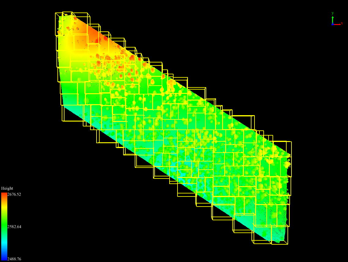
Original point cloud data and point cloud data after chunking by point (different yellow bounding boxes represent different point cloud data).
Usage
Click Data Management > Point Cloud Tools > Tile by Point Number


Settings
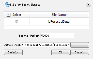
- Input Data: The input file can be a single point cloud data file or multiple data files. File Format: *.LiData.
- Point Number (default value is "50000"): Set the number of points in each tile. Note that the actual number of points in a tile may be slightly different from the user-defined number.
- Output path: Path of the output folder. After the function being executed, new files will be generated.