TIN to DEM
Summary
This function can generate DEM with the LiTin file.
Usage
Click Terrain > TIN to DEM。
Settings
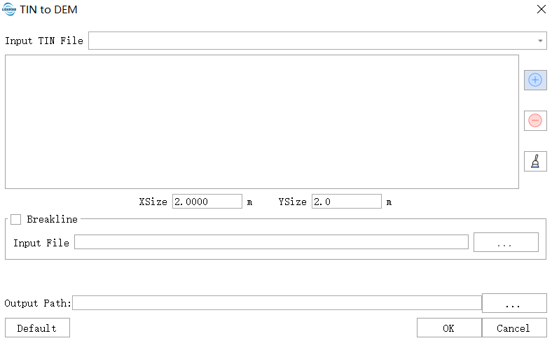
- Input TIN File:Input LiTin file(s). The drop-down box allows to select the LiTin data that has already been opened in the LiDAR360 software. User can also import LiTin data by clicking
 . Or delete imported LiTin
data by clicking
. Or delete imported LiTin
data by clicking  . Or clear all the imported data by clicking
 .
. - XSize(m)(default value is "2.0"):The XSize of the grid to generate the DEM.
- YSize(m)(default value is "2.0"):The YSize of the grid to generate the DEM.
- Output Format: The output DEM files support three formats: TIFF, IMG, and ASC.
- Terrain feature objects(optional):Import the breakline file and add the multi-segment lines in the file as soft breakline to TIN.
- Output path:The path where the generated DEM file to be saved.
- Default Value: Click this button to restore all default parameters.