Length Measurement
Brief: This tool is applicable to point cloud data, raster data and model data, which calculates the distance between two consecutive points.
Usage
Click Point Cloud > Measurement > Length
Steps
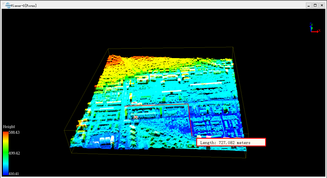
Left-click at least two points in the scene and the corresponding polyline will be rendered real-time. The measurement result is displayed in a label as follows. Double-clicking the last point will stop the measurement process, and the distance value will continue to be displayed in the label.

Click the right mouse button, three context menus will pop up. The menu "Back One Point" is used to go back to the previous step. The menu "Clear Measure" is used to clear the measurement result. The menu "Quit Measure" is used to exit the measure tool.
Note: This tool only works with point cloud data, raster data and model data. The "Back One Point" is only available before the measurement is stopped. This tool is available in the profile window, too.