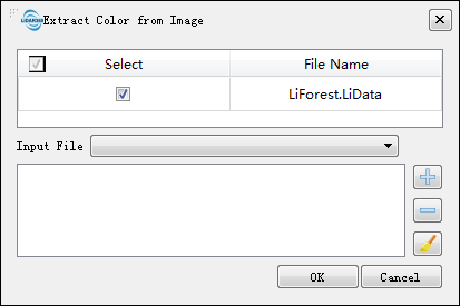
Extract Color from Image
Brief
Extract Color from Image tool can extract RGB information from multi-band imagery and assigned them to each point in a point cloud. The user is required to enter one or more multi-band images that overlapping with the extend of the point cloud data.
After the process is completed, the display mode of the point cloud data will automatically change to RGB display (you can also click ![]() on the toolbar Button, to display the point cloud in RGB).
on the toolbar Button, to display the point cloud in RGB).
Usage
Click Data Management > Point Cloud Tools > Extract Color from Image

Settings
- Input Data: The input file can be a single point cloud data file or multiple data files. File Format: *.LiData.
- Input File: The user needs to enter one or more multi-band images that are geographically overlapping with the point cloud data. If the image data has already been opened in the software, click the drop-down button to select the data, or you can click
 to open the external image data. Click
  to remove selected images from the list and click
  to clear the image data list. File format: *.tif.