Normalization
Brief
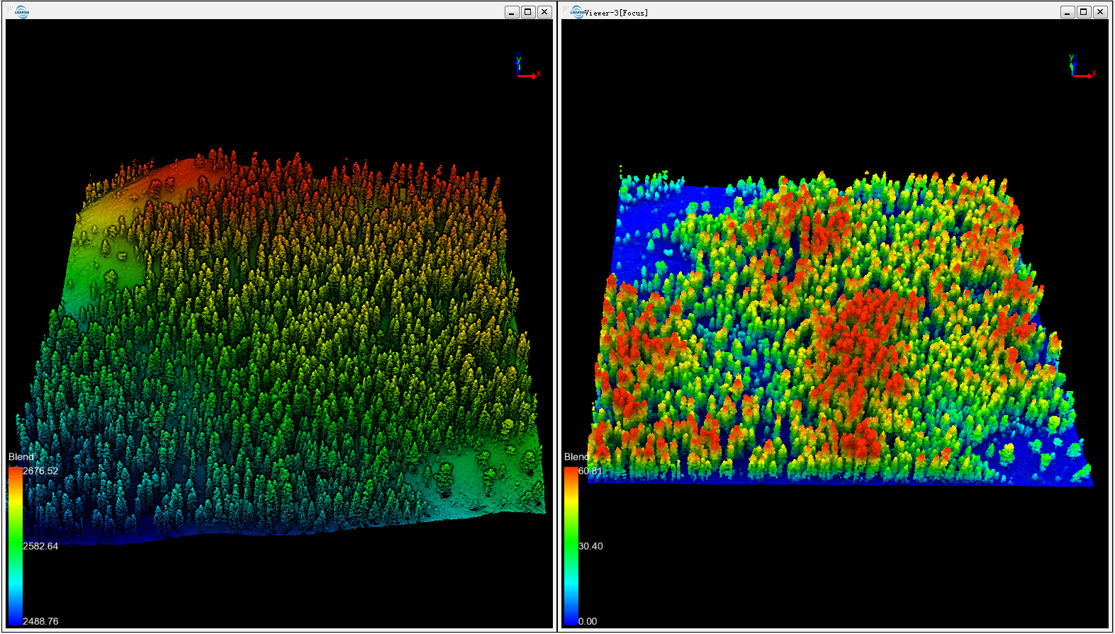
The normalization tool can remove the influence of terrain relief on the elevation value of the point cloud data. This function requires that the extent of the DEM overlaps with the extent of the point cloud data. The normalization process is performed by subtracting the corresponding terrain elevation of the DEM from each point's Z value. The output of this function is similar to Normalization by Ground Class.

Usage
Click Data Management > Point Cloud Tools > Normalization

Settings
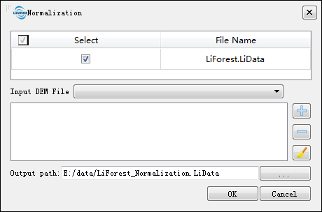
- Input Data: The input file can be a single point cloud data file or multiple data files. File Format: *.LiData.
- Input DEM File: Users can select single or multiple single-band TIFF image files from the drop-down list. File format: *.tif.
 : Users can add external DEM file data.
 : Users can select a file in the list and click this button to remove the file from the list.
 : Click this button to clear all the data in the list.
- Output path: Path of the output file. After the algorithm being executed, the new normalized file will be generated. When entering more than one file, the path will need to be set as a folder.