Paid and trial-licensed versions of LiDAR360 allow users to access to add and browse point cloud data in a 3D viewer, make measurements, cut point clouds, apply display effects, and much more.
Exercise 1. Add Data
1.1 Import Single Point Cloud Data
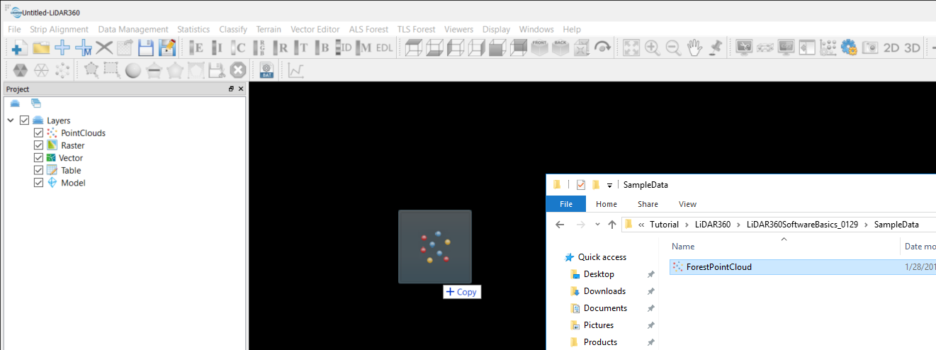
1.1.1 Launch LiDAR360 software.
1.1.2 Go to File > Data > Add Data, browse to your downloaded sample data, select it and open. The software also supports adding data by dragging selected files into the UI display.
If you are dragging in a LAS file, you will see a data summary window. Apply to accept.
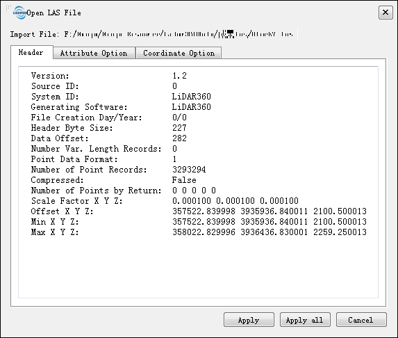
A LiData file will be created in the same directory for each non-LiData file imported. All alterations and operations made in the software affect only the LiData copy and not the original data file.
Unless necessary, please do not move or delete the LiData file while working with the data.
1.2 Import Multiple Point Cloud Data
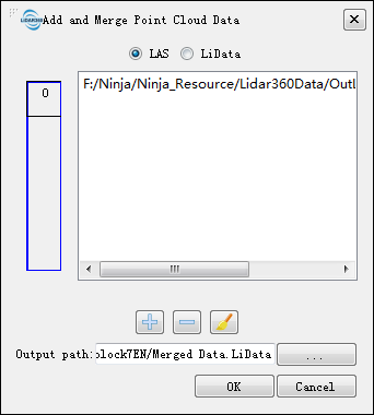
To merge multiple point cloud data upon adding, use Add and Merge Point Cloud Data from File > Data or the tool button ![]() from the toolbar.
from the toolbar.
When multiple point cloud data files are selected, you can click on the preview area on the left of the dialog window to see the relative locations of the datasets in a global coordinate system.