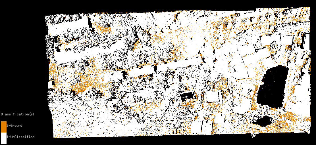
Exercise 1: Classify Ground Points
Classifying ground points is a prerequisite step for many LiDAR data processing and analysis workflows. For example, before generating DEM elevation surfaces in LiDAR360 from point clouds the ground points need to be classified. LiDAR360 employs an improved progressive TIN densification filtering algorithm Zhao et al.,2016) to extract ground points from the classified point cloud.
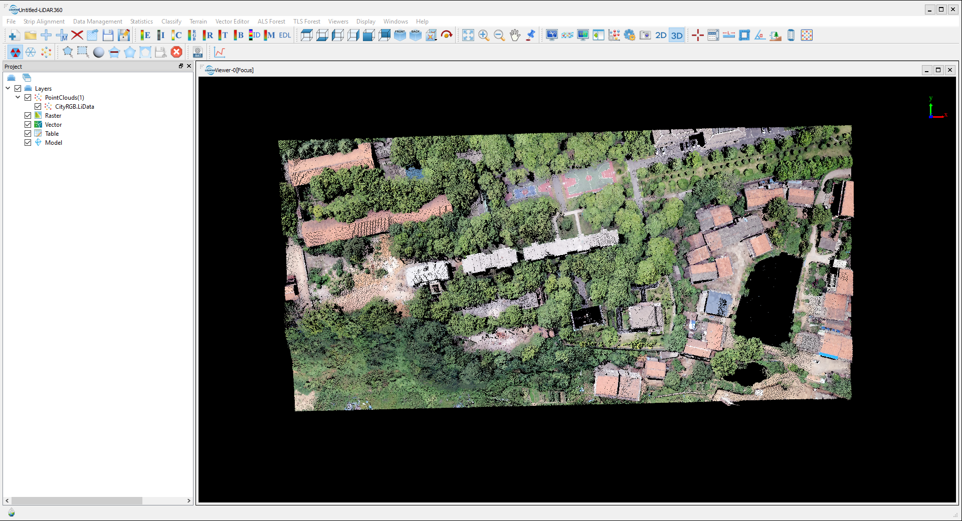
1 Launch LiDAR360 and add the CityRGB.LiData sample dataset. This sample dataset has RGB information. Change Display option to RGB when necessary.
2 On toolbar, click Classify > Classify Ground Points.
Without any prior knowledge of the local landscape, users could select the default parameters and then analyze the results to see if the Classify Ground Points tool parameters should have their default values modified.
To understand the parameters and adjust according to local knowledge to improve the classification result, please read detailed instructions in our User Guide: Classify Ground Points.
3 Click OK to run the tool.