Introduction
In the world of geospatial data processing, contour production plays a vital role in understanding and visualizing the terrain of a project site.
With the increasing demand for accurate and efficient contour generation, professionals require advanced tools to streamline their workflow.
Discover the Power of LiDAR360
LiDAR360 stands out from the competition with its extensive range of features and versatility. Unlike other products that offer only
basic contour production capabilities, LiDAR360 enables users to effortlessly generate contours in various formats, including DXF, SHP, and GPKG.
Additionally, users can take advantage of its seamless editing capabilities using a uniform set of tools and operations, ensuring a streamlined workflow.
What Sets LiDAR360 Apart
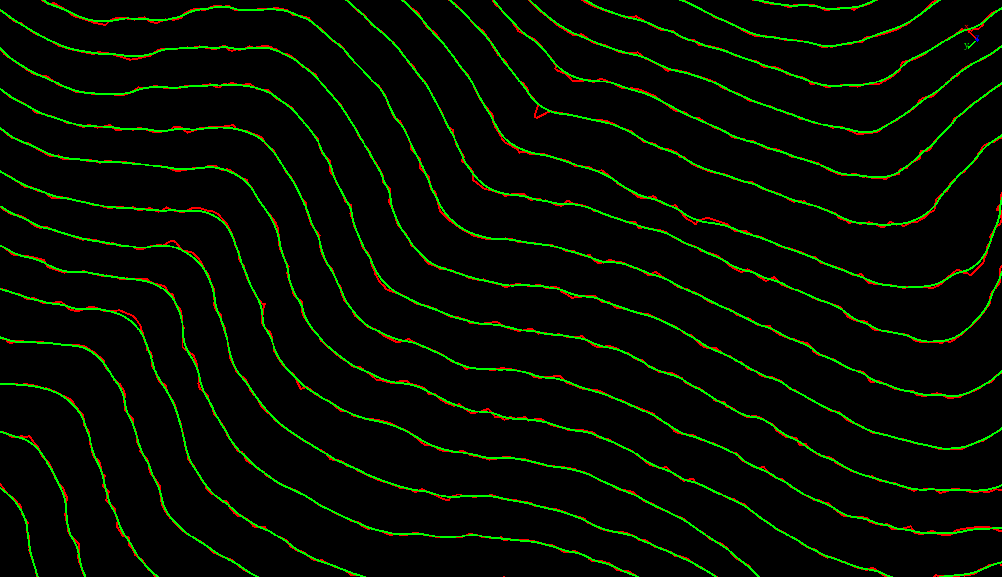
- Automatically beautify contours using different smoothing options
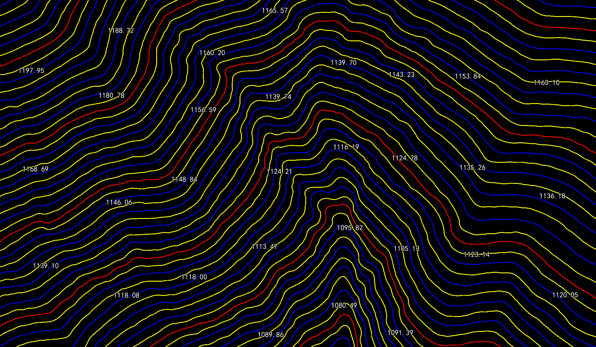
- Generate annotation points, including elevation points and contour annotation points
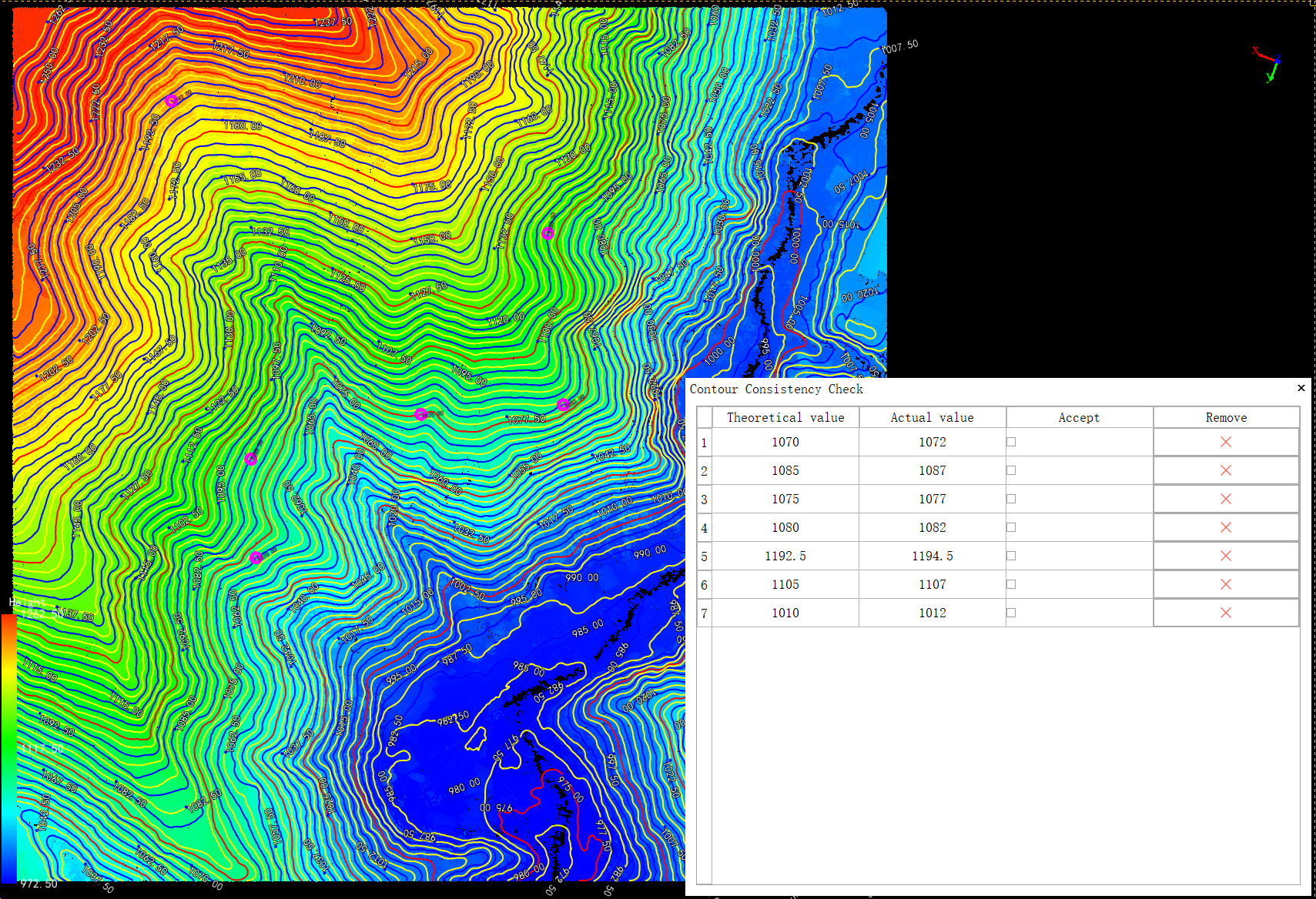
- Point-Contour Consistency Check
- Quality check and edit for contours and annotation points
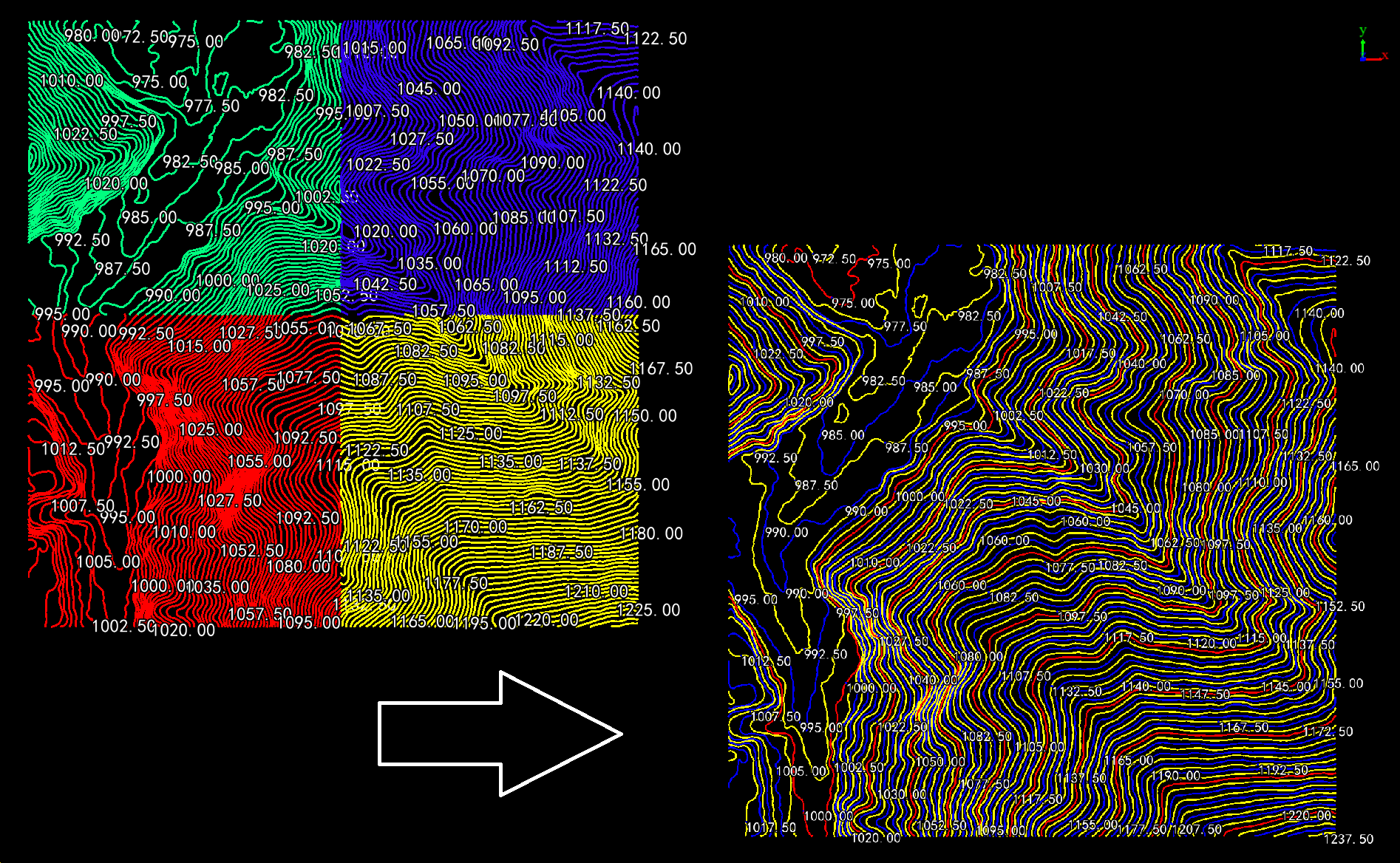
- Seamless handling of contours for large areas, maintaining consistency across multiple datasets


Elevate Your Projects with LiDAR360
As an indispensable asset for your contour production needs, LiDAR360 empowers you to achieve swift and professional results.
Experience the difference that LiDAR360 brings to your projects by integrating it into your geospatial toolkit.
Get Started Today
Ready to revolutionize your contour production workflow with LiDAR360? Contact us now for trial requests and witness
the unmatched capabilities of LiDAR360 for yourself: info@greenvalleyintl.com
Embrace the future of contour production with LiDAR360, the ultimate solution for geospatial professionals seeking efficiency
and precision. With its advanced features and superior performance, LiDAR360 is set to become the go-to tool for all your contour generation needs.
