Subscribe

Empower Your UAV Point Cloud Data with LiDAR360: LiDAR360's One-Click Preprocessing Feature

-- 14 Mar 2024 --

Are you striving to enhance the quality of your UAV point cloud data but find the preprocessing steps tedious and time-consuming?
Look no further than LiDAR360's revolutionary one-click preprocessing feature, designed to streamline your workflow and deliver exceptional results.

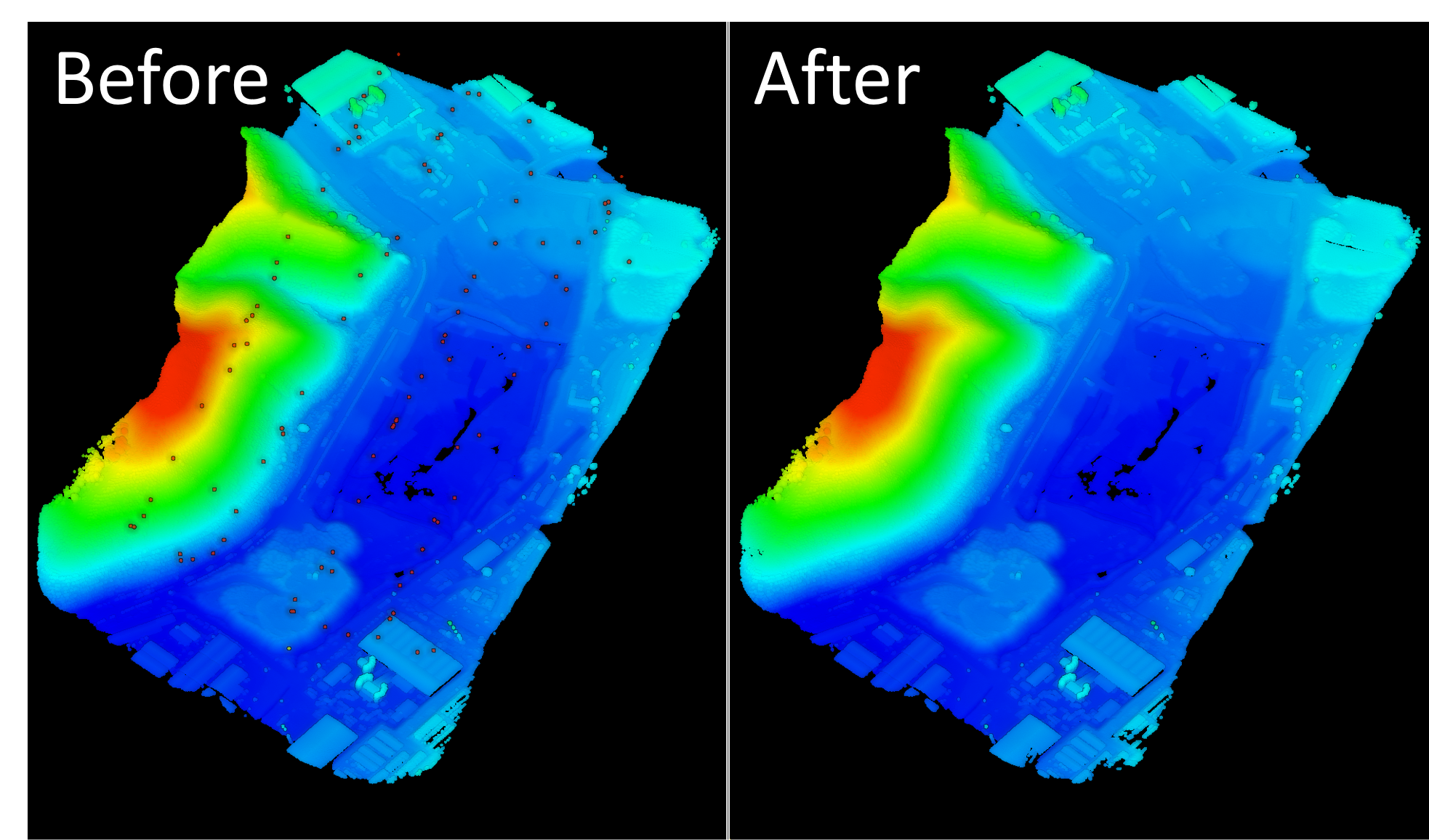
LiDAR360 is the ultimate solution for addressing common challenges that impact UAV point cloud data quality, including noise, calibration errors,
trajectory errors, and laser sensor errors. Our state-of-the-art technology enables seamless integration with various LiDAR sensors,
including the GVI LiAir series and DJI L1, and L2, ensuring professional-grade compatibility and performance.
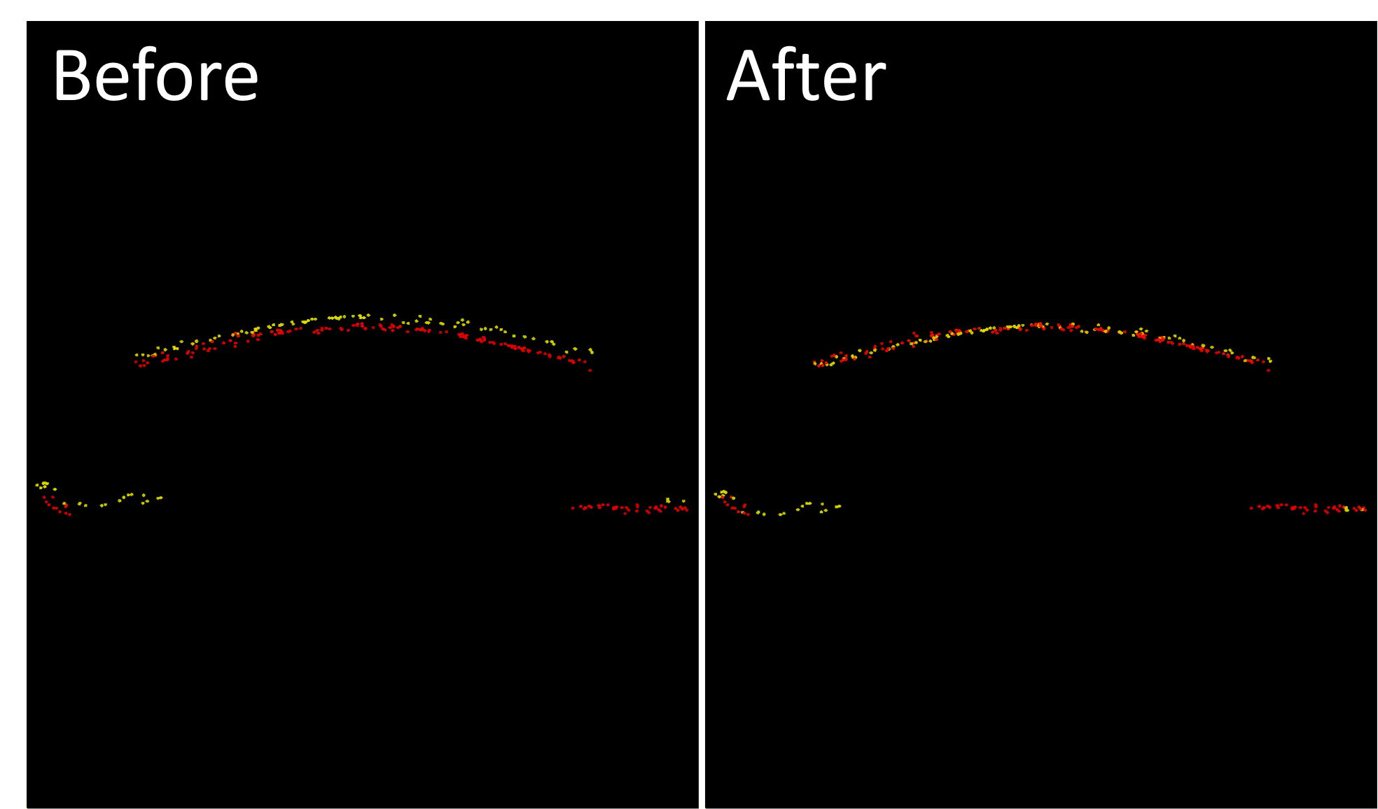
1平差效果.png


2去噪效果.png


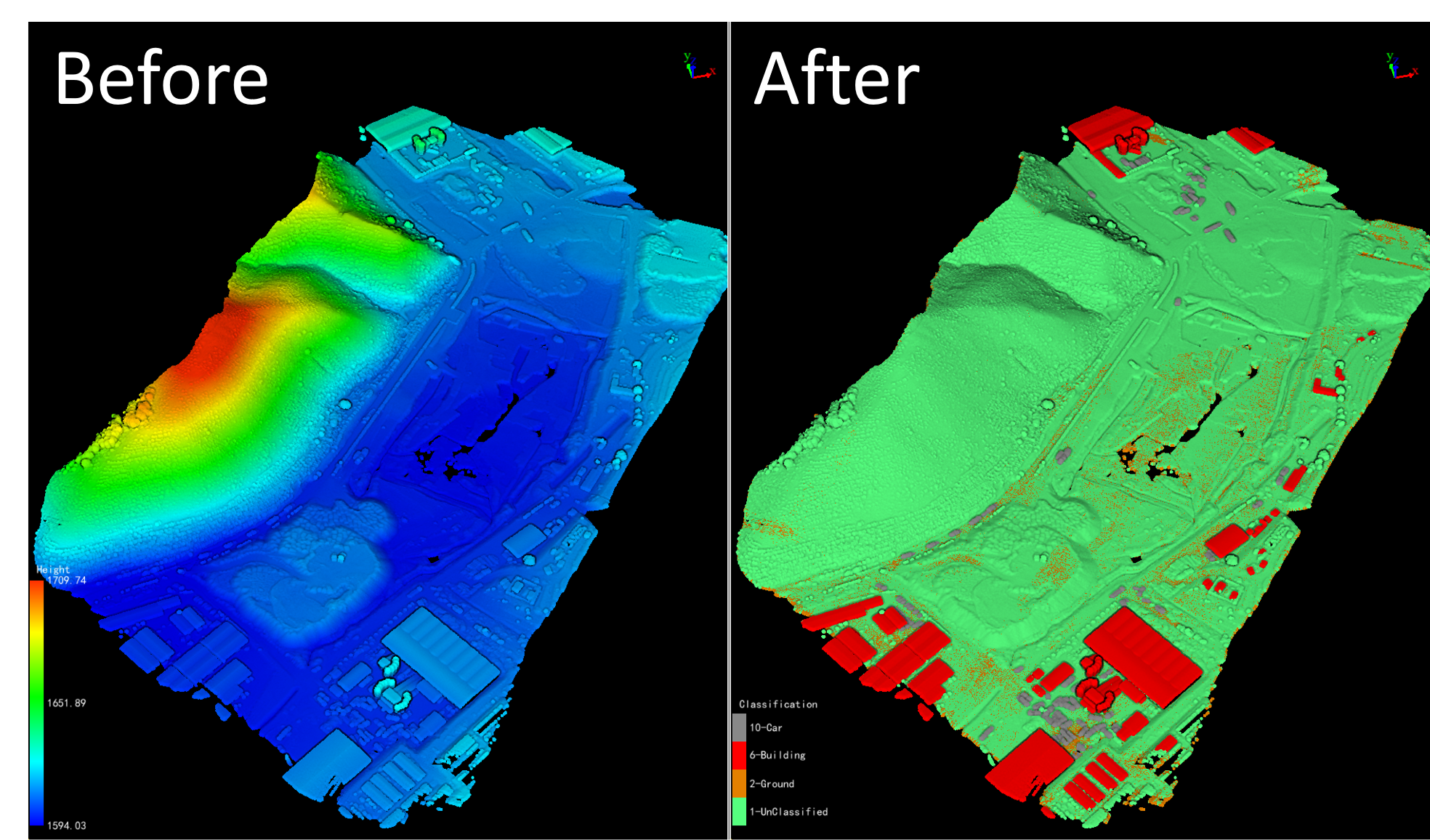
3分类效果.png


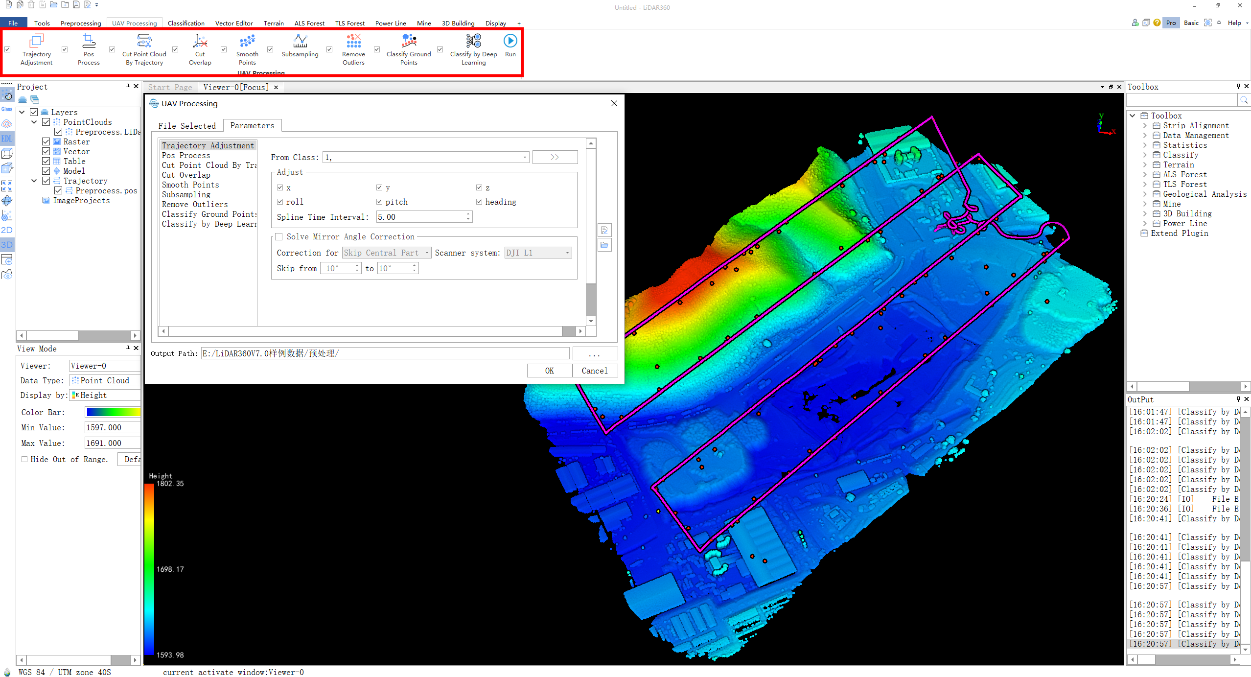
4功能界面.png


Experience the power of one-click operation to tackle all your data processing needs – from calibration and trajectory adjustment to
noise removal and smoothing. With LiDAR360, you can achieve high-quality, ready-to-use data in just one simple step.

Request a trial and witness the unparalleled capabilities of LiDAR360 for yourself:  
https://www.greenvalleyintl.com/LiDAR360/


Recommended Articles

HOW CAN WE HELP YOU?
Message us your questions and contact information.
We’ll get back to you right away!