Public Facilities

Utilities Applications
Architecture Engineering
 Elevation Survey
 Land Survey
 Completion Acceptance
 Underground Space Survey
 Cultural Relics Protection
 BIM Model
 Digital Twin
City Assets Inspect


Road Traffic

City Environment Category

Landscaping

Housing Land Category

Other Facilities
Case Studies

Building digital Hong Kong
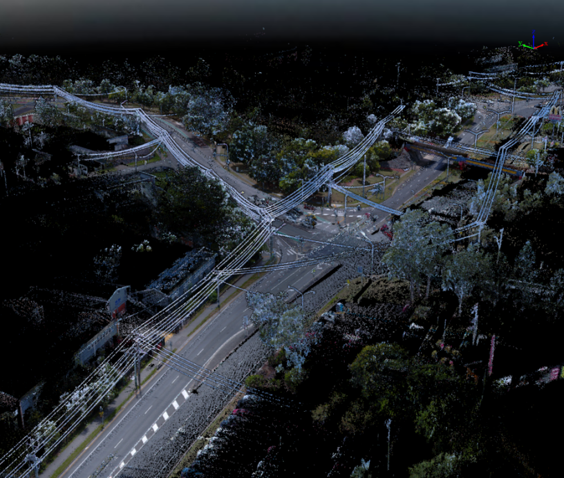
As global urbanization accelerates, traditional urban management faces increasing pressure. In Hong Kong, an international metropolis with complex infrastructure, the demand for smart city technologies is especially urgent.
GreenValley International’s LiMobile series is designed to meet these challenges, offering cutting-edge mobile mapping and laser scanning capabilities that transform urban management and planning.
Read More 
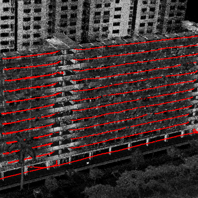
Efficient Property Surveying
In property surveying, accuracy and efficiency are critical. Conventional SLAM-based 3D laser scanning still faces limitations such as data drift, misalignment, and the need for repeated stitching in multi-floor environments.
GreenValley International addresses these challenges with its latest LiDAR360 MLS 8.0 multi-floor SLAM algorithm. By enhancing spatial feature recognition and integrating IMU-assisted optimization, it delivers high-precision, drift-free point clouds across multiple floors in a single project.
Read More
Road Markings Deep Learning Model
For engineering teams in smart transportation or road mapping, building a road sign recognition model used to feel like climbing a technical mountain. Coding skills, time-consuming data labelling, and debugging—enough to make even experienced teams hesitate.
But here’s the game-changer: LiDAR360MLS skips all that. Just mark road sign templates once on point clouds—outline edges and key points—and you’re set.
Read More
Which one is right for you?
 LiDAR360
 LiDAR360MLS
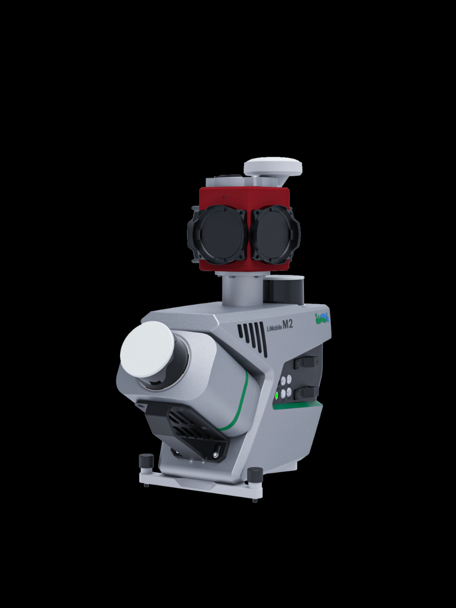 LiMobile M2
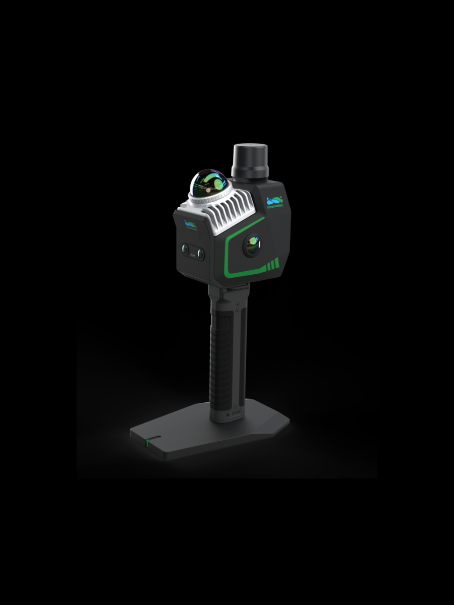 LiGrip O2 Lite
GreenValley International Inc (GVI), headquartered in Berkeley, California, is a leading innovator of 3D mapping technologies. GVI provides a wide range of advanced aerial, terrestrial, and mobile LiDAR survey and mapping hardware systems and cutting-edge software as well as turnkey solutions. Our portfolio includes airborne, handheld, mobile, and backpack laser scanning platforms, as well as point cloud processing software such as the LiDAR360 LiDAR data processing platform. GVI focuses on LiDAR and image fusion technology, specializing in LiDAR, UAV, SLAM, Photogrammetry, and other technologies to achieve an accurate digital representation of three-dimensional space. As we continue to expand our reach and technological capabilities, GVI remains committed to driving innovation and pushing the boundaries of what's possible in the LiDAR space.
+1(510)345-2899info@greenvalleyintl.com 729 Heinz Avenue, Suite 9, Berkeley, California 94710, USA Subscribe
Copyright © 2026 GreenValley International Inc. All Rights Reserved.