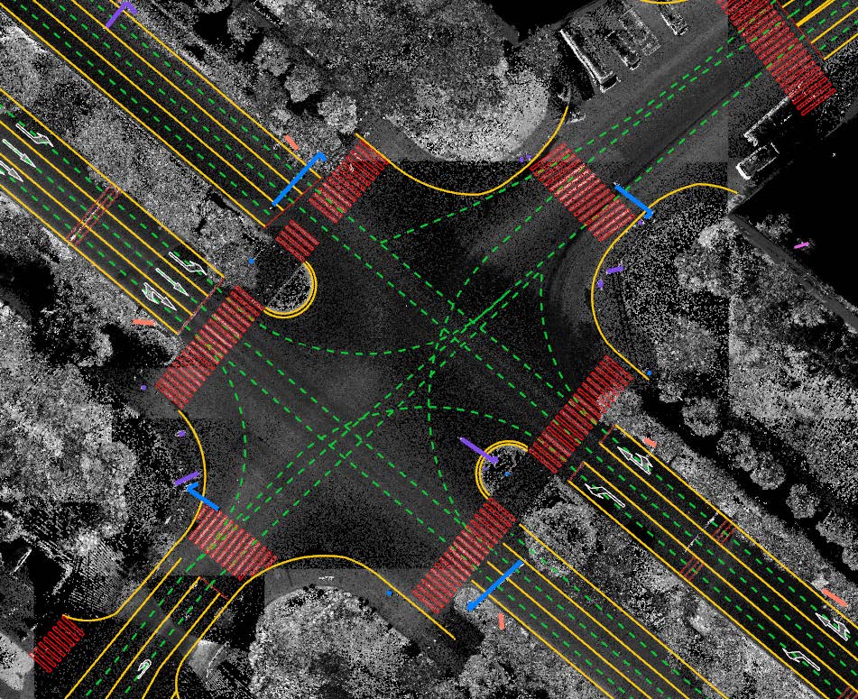
LiDAR360MLS is a point cloud feature intelligent extraction and analysis software independently developed by GreenValley. It can flexibly integrate laser radar point cloud and image data collected by mainstream mobile measurement devices such as vehicle-mounted, backpack-mounted, or handheld devices on the market.LiDAR360MLS, which integrates point cloud data editing, processing, extraction ,vectorization, analysis, and visualization functions, provides users with efficient, accurate, and reliable point cloud data processing services.Specifically, LiDAR360MLS has the following features:

1. Point cloud data rapid visualization and processing
LiDAR360 MLS supports point cloud and panoramic data of mainstream mobile mapping systems on the market for processing and mapping. It not only provides a variety of basic point cloud processing tools, such as denoising, projection transformation, etc., at the same time, combined with AI , achieves fully automatic classification of point cloud data in multiple scenarios, Øwhich can quickly obtain high-precision results and accelerate the efficiency of subsequent production analysis
2.Point cloud quality inspection and accuracy improvement
LiDAR360MLS provides point cloud boresight calibration, panoramic or planar camera extrinsic calibration, trajectory jumps identify and repair, strip adjustment to provide high-precision data support for subsequent applications.
3.Intelligent feature extraction combining point cloud and image data
LiDAR360MLS combines AI for point clouds and imagery to fully automate the extraction of multiple elements of road surfaces and road facilities, with an extraction accuracy of more than 80%, improving productivity.
4.Digitization, editing and storage database of all features
Over 100 vector mapping and processing tools,Vector mapping with multi-source data fusion, vector topology editing mode,field calculators, vector geometry and attribute quality inspection tools,and more. Vector editing capabilities have been further enhanced to meet the needs of various industries.
5.3D Spatial Analysis
Based on the point cloud data, LiDAR360MLS can quickly extract the road surface damage information and calculate Pavement Condition Index, and support a variety of 3D spatial analysis methods, such as clearance analysis, viewshed analysis,bridge height limit analysis, vehicle collision simulation analysis, etc. And support road section analysis, which can calculate the road section parameters to road inspection and maintenance.
In addition to the above functions, Lidar360MLS has many other point cloud analysis functions. For more functions and operation methods, please visit the Lidar360 official website to apply for a trial experience.
