Subscribe

How to Obtain Water Network Bottom Plate Data in the No Fly Zone? LiGrip H300 Helps you Unlock It

-- 17 May 2024 --

On February 27, 2024, the Ministry of Water Resources issued the "Key Points for Water Resources Network Information Work in 2024". The Key Points mention that efforts should be made to promote the application of intelligent water conservancy services and upgrade and improve the application of flood control services in river basins. Accelerate the development and application of hydrological models for production and runoff, as well as dynamic models for flood simulation and inflow.
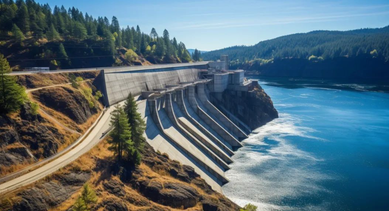

image.png


The integrity and accuracy of the integrated terrain data of reservoirs, riverbanks, and underwater, as the bottom plate data for the construction of digital twin water networks, are crucial for subsequent hydrological analysis work. At present, we can use technologies such as remote sensing, LiDAR, unmanned ships, and underwater robots to dynamically extract information on the coastal, underlying surface, and underwater terrain of the watershed, and carry out demonstration applications for extracting underlying surface parameters and emergency monitoring of watershed flood control through remote sensing.

By using airborne laser measurement equipment, terrain data along rivers and storage areas can be quickly obtained. By utilizing the characteristics of laser multiple echoes, accurate and complete terrain results can also be obtained in dense forest areas. Combined with underwater terrain results obtained by using multiple beams, complete underwater terrain can be quickly obtained.


But currently, many areas along rivers and reservoirs in China are classified as no fly zones, and there are sudden crosswinds that affect the safe flight of drones. Therefore, in no fly zones and areas with flight safety hazards, there is an urgent need for a low-cost, efficient, and flexible measurement method to address the shortcomings of existing solutions.
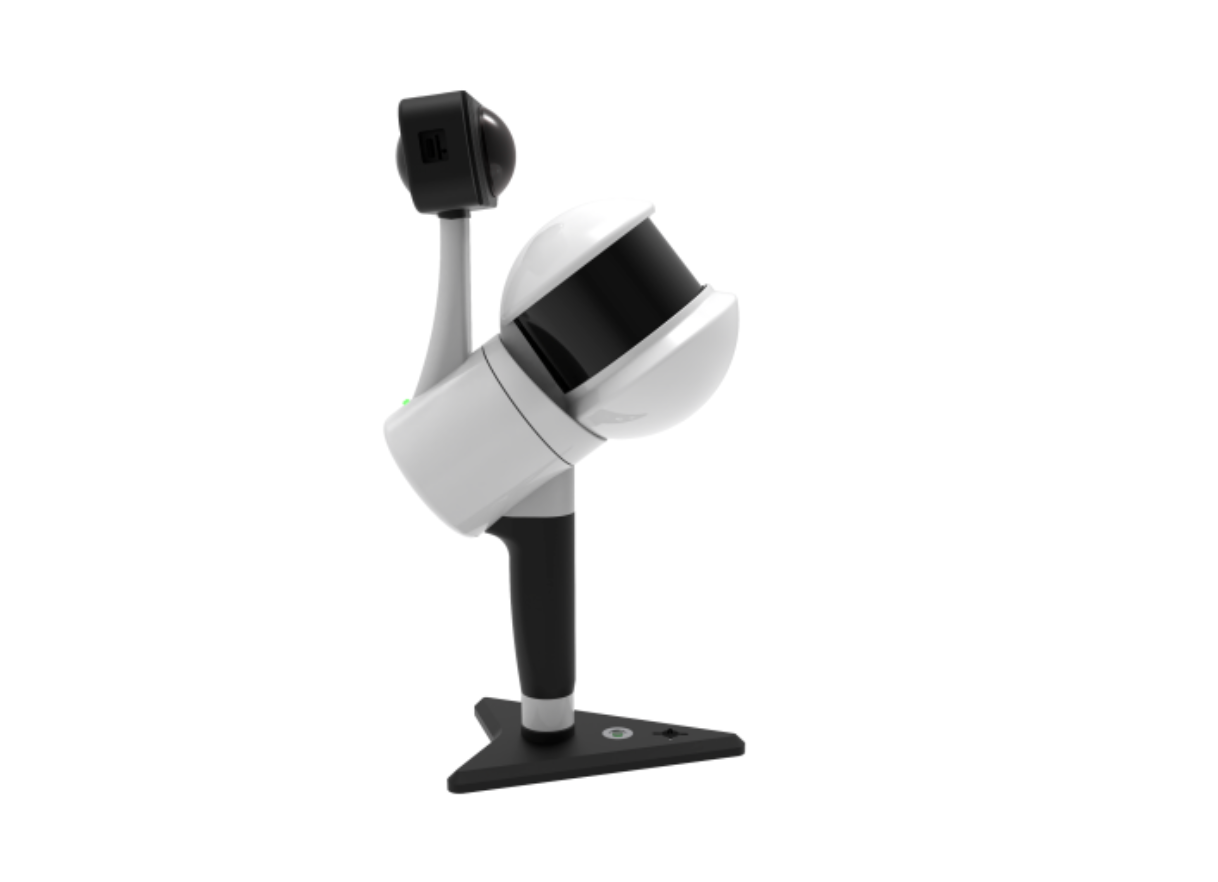
image.png

Using a portable LiGrip H300 lidar measurement device and a shipborne platform, scanning operations can be carried out along the riverbank to obtain point clouds and image data of the embankment, and generate DEM and DSM models.


By combining underwater terrain data obtained from unmanned ships, the complete waterfront terrain and model results of the survey area can be quickly obtained. Conduct a series of hydrological analysis work through complete and accurate bottom plate data of digital twin water network construction.


Recommended Articles

HOW CAN WE HELP YOU?
Message us your questions and contact information.
We’ll get back to you right away!