Subscribe

GVI Solution in Building 3D Models from Point Clouds

-- 10 Sep 2024 --

As global infrastructure continues to age, traditional monitoring and management methods of buildings are becoming increasingly inadequate. Greenvalley International (GVI) offers a robust ecosystem of LiDAR products designed to help clients seamlessly transform point cloud data into precise 3D models, addressing the challenges of building maintenance and repair.

GVI's product lineup includes the
LiAir series of airborne LiDARs, LiGrip handheld LiDARs, LiBase GNSS base stations, and the powerful LiDAR360 processing software. This complete solution covers the entire workflow from point cloud data acquisition to 3D model generation, significantly improving efficiency, accuracy, and cost-effectiveness.

Customer Needs and Challenges

Through collaboration with clients worldwide, GVI has identified several common challenges in building modeling:

Lack of Building Documentation: Many older structures do not have detailed architectural plans, making maintenance and renovation efforts more complex.

High Cost of Traditional Methods: Conventional surveying techniques are labor-intensive, require significant equipment, and can be expensive, often failing to meet modern project demands.

Complex Data Handling: Even when point cloud data is captured, the size and complexity of raw data make it time-consuming to transfer and process. The conversion into usable 3D models can also be intricate and slow.

To address these pain points, GVI provides an efficient solution for rapidly converting point cloud data into detailed 3D models.

Core Advantages of the Solution

Comprehensive Data Acquisition

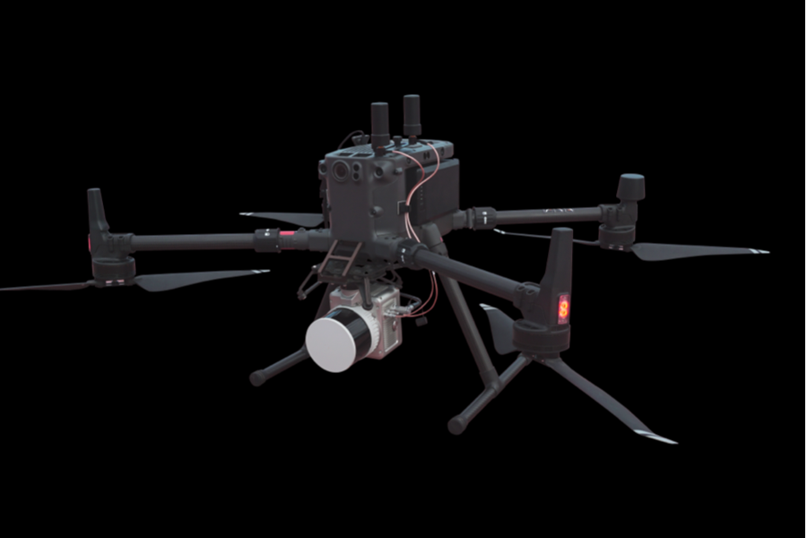
The LiAir series of airborne LiDARs quickly captures high-precision point cloud data for buildings, making it ideal for complex terrains and varied application scenarios. With automated flight paths, the collection process is seamless and efficient.
gvi-us-2024-06-12MTcxODE2ODg4ODk4OA==.png

The LiGrip handheld LiDAR series offers exceptional flexibility, enabling users to capture detailed point cloud data of complex ground structures with ease, providing real-time visual feedback.
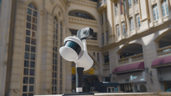
image.png

Accurate Positioning SupportThe LiBase GNSS Base Station delivers high-precision positioning, ensuring data accuracy and reliability when used with other LiDAR devices. This positioning is suitable for a range of surveying environments and measurement needs.
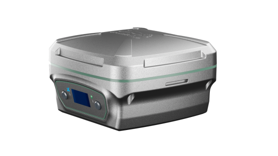

image.png


Advanced Point Cloud Processing

LiDAR360 software offers extensive processing capabilities, enabling one-click functions such as trajectory adjustment, point cloud classification, and POS processing. The software simplifies automated data processing and delivers accurate analysis, significantly reducing post-processing time and effort.

The 3D Building module in LiDAR360 enables automatic extraction of building models from classified point clouds. The module supports manual editing and saves the models, while real-time previews allow users to refine building models with precision. The resulting models can be exported in formats like OBJ, FBX, and CityJSON for smooth integration with third-party tools.
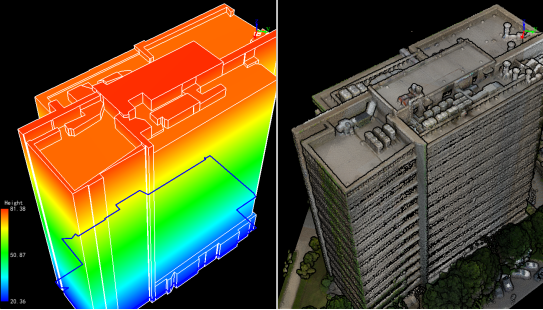
 

image.png

Automatic extraction of building outlines and generation of 3D building models.
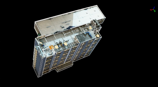


image.png 

Automatic generation of building textures from UAV image data
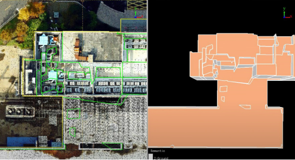

image.png

Manual editing of building models and textures 


Time and Cost Savings

Compared to traditional methods, GVI’s solutions drastically reduce the time required for point cloud data collection and 3D modeling, minimizing dependence on traditional surveying equipment and reducing overall project costs. Automated processing further reduces manual on-site work, improving project management efficiency.

Benefits for Global Customers


GVI’s products offer a comprehensive, user-friendly solution for 3D building modeling with numerous key benefits:
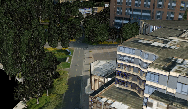

image.png


Versatile Application Scenarios: Whether using aerial, ground-based, or handheld LiDAR, GVI’s products adapt to different environments, enabling complete and efficient point cloud data capture without missing structural details.

High-Precision Modeling: With GVI’s integrated product suite, customers can rapidly generate high-quality 3D building models that include precise coordinates and true-color textures, accurately reproducing building details for precise project execution.

Enhanced Efficiency: A streamlined workflow and automated software capabilities allow users to complete the entire data-to-model process quickly, reducing labor costs and project budgets.


Conclusion

GVI's LiDAR product ecosystem provides a cutting-edge solution for global clients, ensuring efficiency and precision throughout the 3D modeling process. With the LiAir, LiGrip, and LiBase devices combined with LiDAR360's powerful capabilities, converting point cloud data into high-accuracy 3D models has never been easier. Partnering with Greenvalley means selecting a trusted, efficient partner for the successful management of your future projects.


Recommended Articles

HOW CAN WE HELP YOU?
Message us your questions and contact information.
We’ll get back to you right away!