Subscribe

Multi Platform LiDAR Assists Major Scientific Discoveries, Published in International Top Journal Nature Ecology & Evolution

-- 13 May 2024 --

GVI's multi platform LiDAR technology is helping scientists better produce scientific research results. And many scientific research achievements have been listed in top international journals.


Recently, Guo Qinghua's research group and Lv Zhi's research group jointly issued a document titled "Protecting the Primitive Forest of the Yarlung Zangbo Grand Canyon for Humanity and Nature". The research findings have been published in the international academic journal Nature Ecology&Evolution. Ren Yu, a specially appointed associate researcher at Peking University, and Li, the director of the Xizijiang Ecological Conservation Center, became the co first author. Professor Guo Qinghua and Professor Lv Zhi from Peking University were the co corresponding authors.
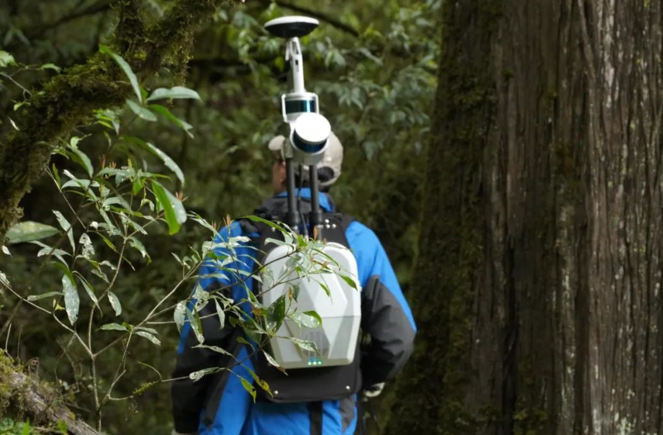

image.png


During 2022-2023, the research team carried out giant tree survey and measurement in the original forest area of the Yarlung Zangbo Grand Canyon, combined with multi platform laser radar technology, found a large number of well preserved giant tree communities within the research scope, and carefully mapped and measured three giant trees belonging to different species, which are 76.8 meters of Burmese pine in Motuo County, Xizang Autonomous Region, 83.4 meters of Abies yunnanensis in Chayu County, and a 102.3 meter tall Xizang cypress in Bomi County. It is reported that this Xizang cypress is the highest known tree in Asia.


The research team further clarified the ecological characteristics of the forest community where the highest tree is located. They conducted multi platform LiDAR scanning on the 22.4 hectares of pristine forest where the tree is located, and identified a total of 108 trees with a height exceeding 70 meters in the forest, including 34 trees with a height exceeding 85 meters and 2 trees with a height exceeding 100 meters. They estimate that the tallest tree in Asia is over 1000 years old, with a dry weight of approximately 183 tons, of which carbon storage is approximately 100 tons.


In addition to the investigation of the highest tree forest community, the joint inspection team deployed an infrared camera array for biological investigation in the Yarlung Zangbo Grand Canyon area to understand the current status of animal diversity. Over the past three years, 42 species of mammals and 128 species of birds have been recorded. The most stunning and eye-catching is the rediscovery of the Bengal tiger, a precious infrared camera photo that signifies the reappearance of the Bengal tiger in China after a 20-year hiatus.
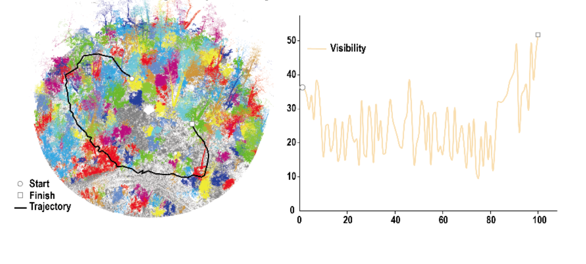

image.png


With the advent of the AI era, industrial upgrading, business integration, and technological innovation, data has become an important production factor. In the future, Digital Green Earth will continue to uphold the vision of "Space Intelligence Helps a Green Earth for Sustainable Development", with the mission of becoming a "leading global artificial intelligence+geographic information company". Through continuous technological research and investment, it will help various industries reshape traditional businesses, improve business efficiency, promote industrial innovation, and contribute to the sustainable development of humanity and the environment.


Recommended Articles

HOW CAN WE HELP YOU?
Message us your questions and contact information.
We’ll get back to you right away!