REGISTER TODAY
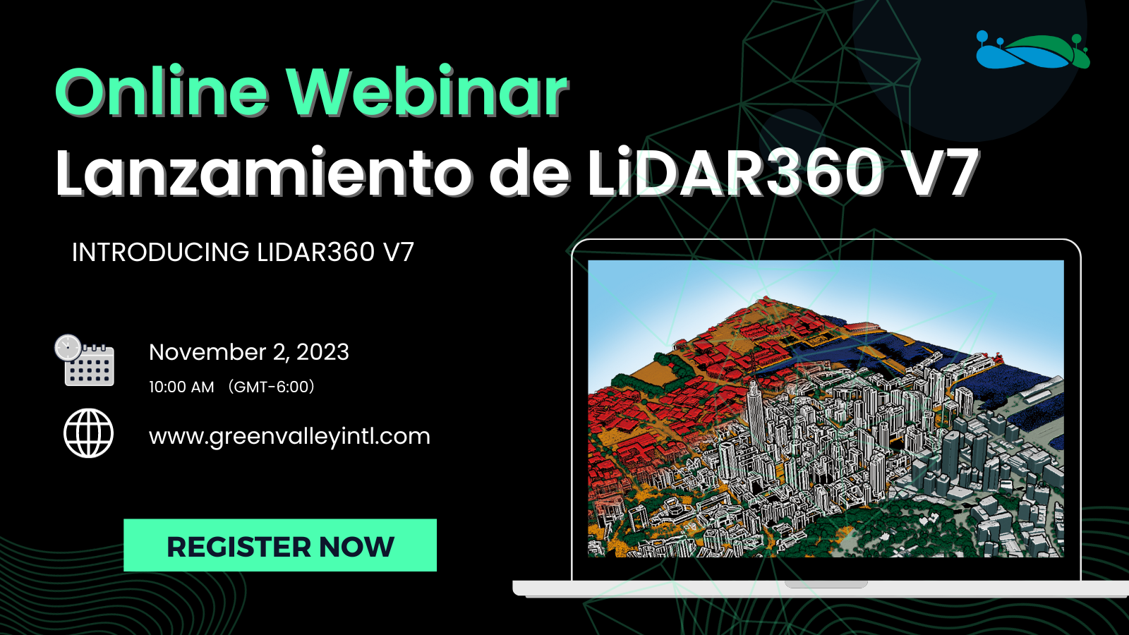
Wenibar : Learn About New Features of LiDAR360 V7
Join us for a webinar that explores point-cloud-based functions for biomass calculation, topographic surveying,
and more with LiDAR360's extensive features in terrain, forestry, mining, and real scene 3D.
This webinar will be conducted in Spanish.
We present a unique opportunity to understand how you can maximize the utility of your point cloud datausing
LiDAR360 post-processing and application software.
When: November 2, 2023
Time: 10:00 AM (GMT-6:00)
Here's a glimpse of what you can expect:
Get a detailed overview of LiDAR360.
Learn how to rapidly acquire the biomass of each tree using TLS LiDAR.
Learn how to produce topographic surveying products based on point cloud data, including quality checks, editing, and generating deliverable results.
Learn how to conduct automated urban modeling and management.
Learn how to enhance mining operations efficiency and perform safety inspections using LiDAR.
We look forward to having you join us in our webinar!
