With the aging of railway facilities and the increase in demand for transportation capacity, existing railway lines need to be rebuilt, so it is necessary to survey existing lines without affecting normal operations. At present, the means of surveying existing railway lines mostly use traditional measurement methods, which have shortcomings such as low measurement efficiency, heavy tasks, cumbersome procedures, and repeated online operations. LiDAR technology can achieve fast and accurate surveys without affecting the normal operation of the railway, providing new technical support for the survey of existing railway lines.
LiDAR360MLS software provides a complete solution from point cloud processing → rapid extraction of railway elements → railway 3D analysis based on LiDAR data and the characteristics of railway scenes to address data processing difficulties.
Point Cloud Classification
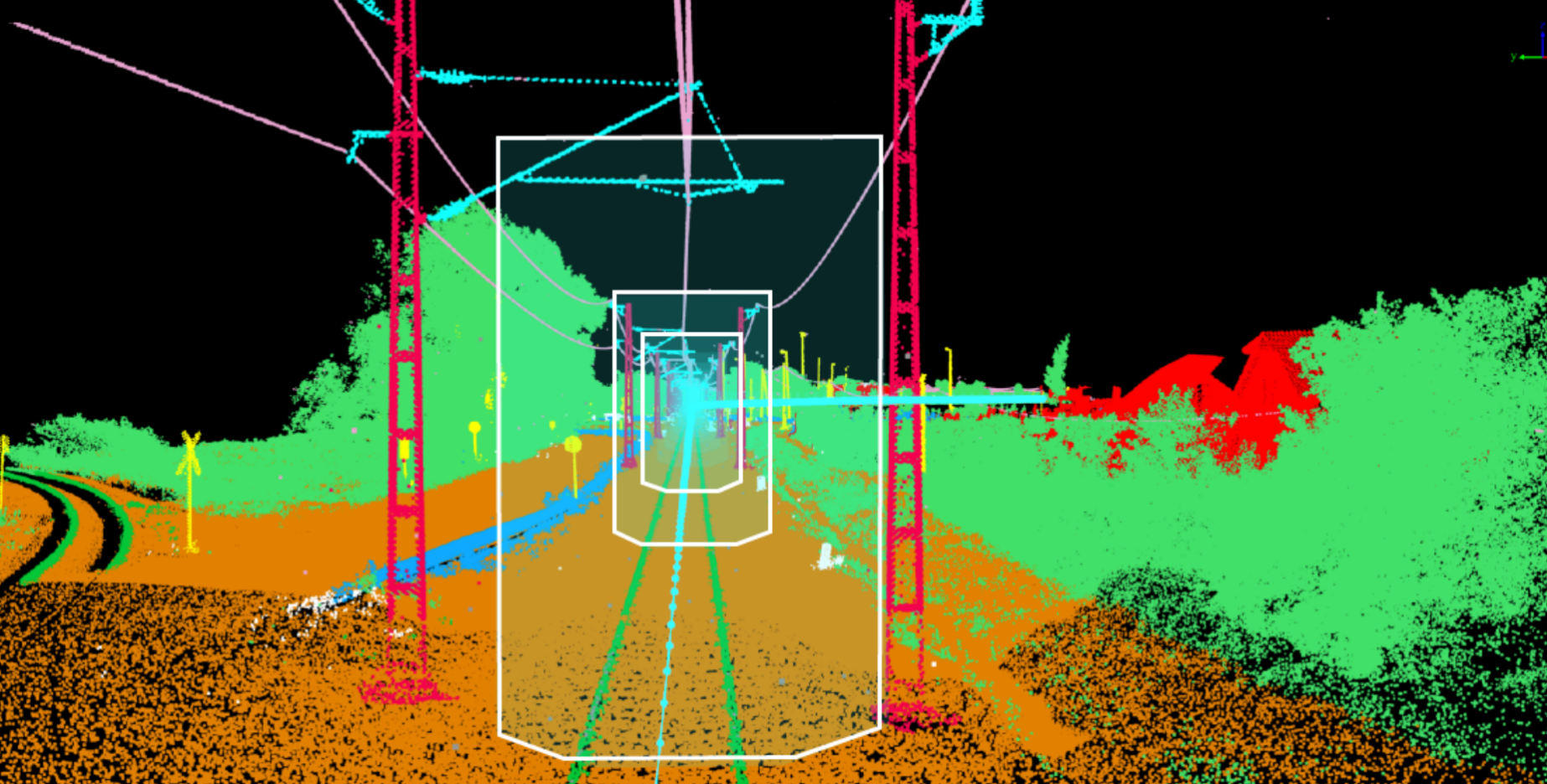
The software provides a railway scene point cloud classification model that can separate 11 common categories in railway scenes, including ground points, tracks, trains, vegetation, power lines, poles, buildings, etc. The model is compatible with point cloud data collected by various platforms, and the classification accuracy can reach 90%[1]
Rapid Extraction of Existing Rail Tracks and Center Lines
Based on the classified data, the rail tracks and center lines can be automatically detected with one click. A set of existing rail tracks and corresponding center lines of 1.5 km can be obtained in 50 seconds[2]

Extraction of Other Elements in Railway Scenes
1. Railway power lines: Extract multiple 1.5km power lines in 60 seconds[2]
2. Railway Poles: Based on the classified data, pole vectors can be extracted in batches
Railway Clearance Analysis
Clearance analysis can simulate the size of the three-dimensional space occupied by the target object, calculate the location of "safety hazards" that may occur with any object, and output a professional results analysis report. In the railway scene, based on the extracted rail vector lines, it is possible to analyze whether there are safety hazards of vehicle collision within the specified three-dimensional space on the vehicle running path.

It can also analyze the power lines on the railway and the surrounding vegetation to prevent vegetation growth from causing power line safety accidents.
Height Limit Analysis of Railway Power Lines
Height limit analysis can analyze the height of structures to determine whether they meet relevant regulations or restrictions. In railway scenarios, height limit analysis can be performed on overhead lines to evaluate the minimum/maximum passable height of each line to ensure railway safety.
3D Analysis of Railway Sections
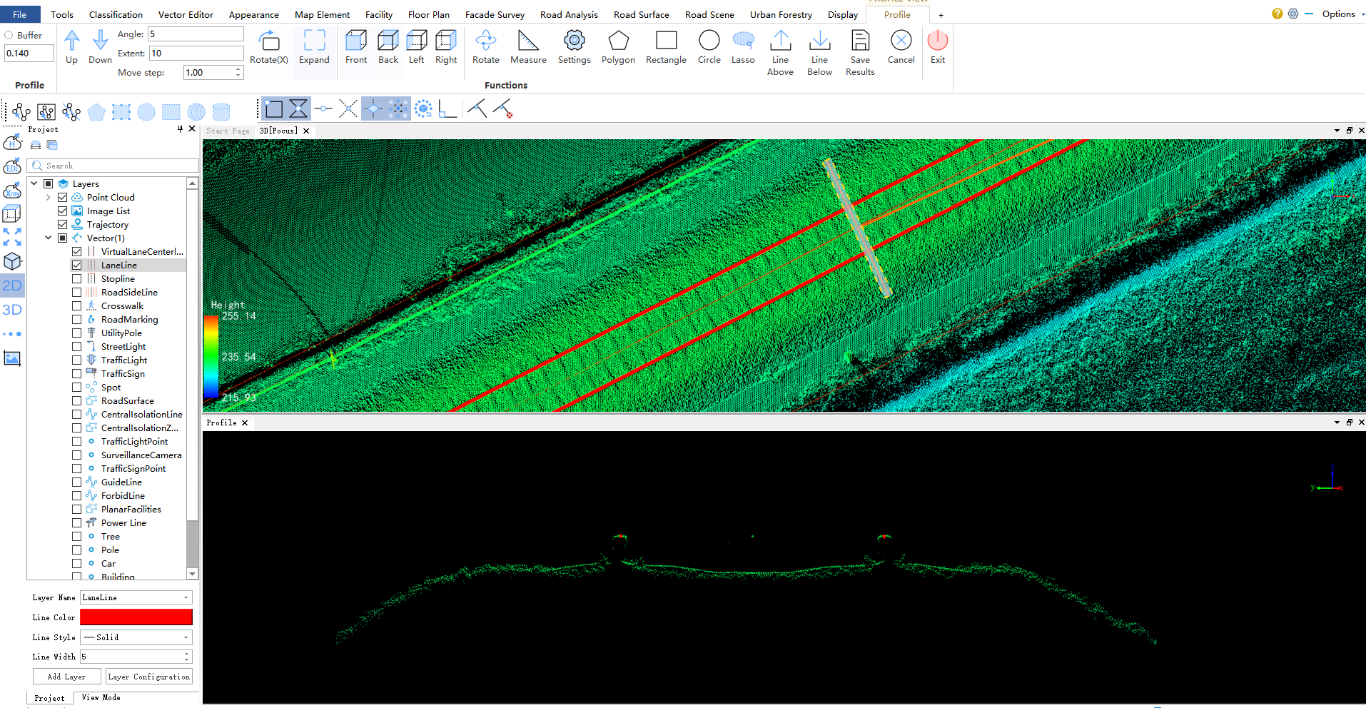
Based on the existing rail vector lines and classified point cloud data, the step length, width, thickness and other parameters of the section analysis can be set according to the needs to generate the railway horizontal and vertical sections, and each section node can be edited.
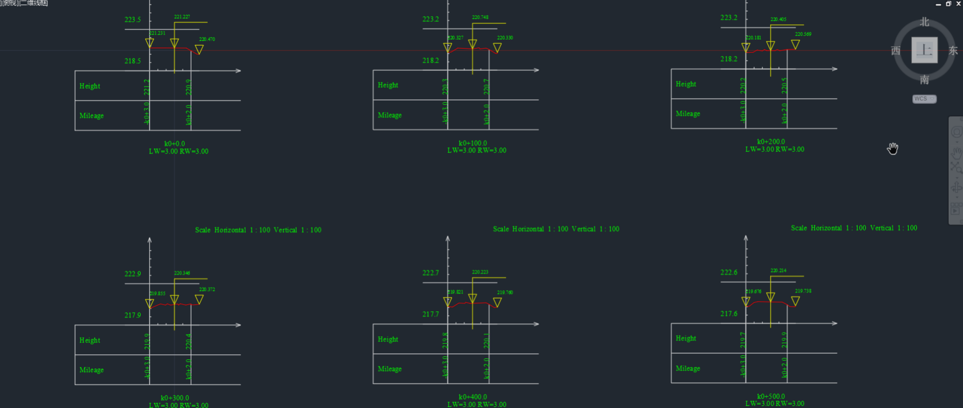
Based on the generated railway horizontal and vertical sections, the section parameters in the table below can be accurately calculated to reflect the road surface quality and parameters. If there are multiple sections, multiple sections can be compared and analyzed to obtain parameters such as over-break and under-break.

The calculated cross-sections and their parameters can be exported. For example, the cross-sections can be exported to DXF format and viewed using third-party software such as CAD.

[1] Railway scene classification accuracy, based on the maximum accuracy of all categories of existing test data statistics. Railway scene objects in different regions are different, and there are certain differences in the accuracy of different categories.
[2] The efficiency and accuracy of different element extraction are closely related to the quality of the original point cloud data. The original data is more complete and has less noise, so the vectorization efficiency and accuracy are relatively high.
