On December 18, 2023, a massive 6.2 magnitude earthquake struck Jishishan County in Gansu Province, China, with a depth of 10 kilometers.
In response to the disaster, the China Earthquake Emergency Rescue Center swiftly initiated rescue operations on December 19th.
Greenvalley's handheld LiDAR technology comprehensively assesses the extent of building collapses and analyzes the causes behind them.
The disaster response team from the China Earthquake Emergency Search and Rescue Center employed handheld LiDAR devices.
Through the collection of three-dimensional point cloud model data, a detailed understanding of the affected structures was obtained.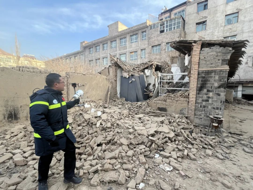
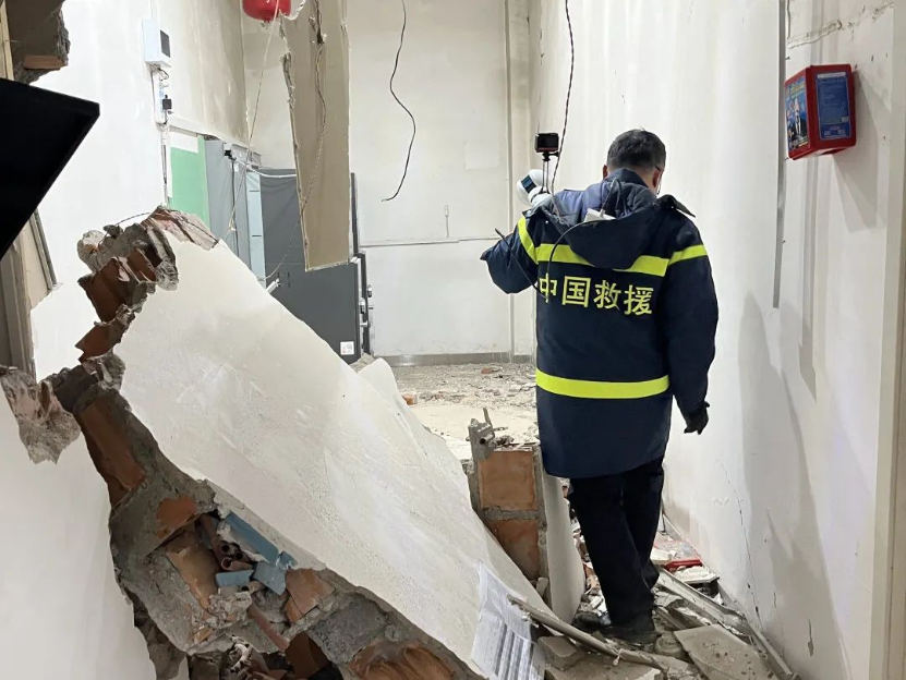
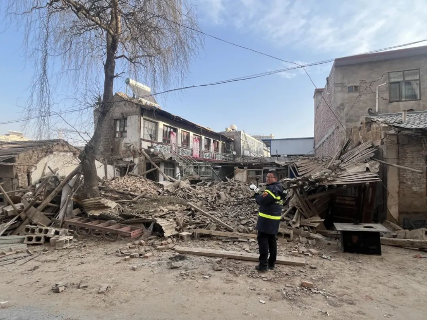
Greenvalley's Digital LiDAR solution, coupled with the post-processing software LiDAR360, played a pivotal role in the successful execution of
this rescue mission. The handheld LiDAR devices offered precise and efficient data collection capabilities, ensuring that the point cloud results and
data reports produced were comprehensive and accurate.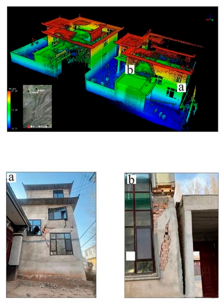
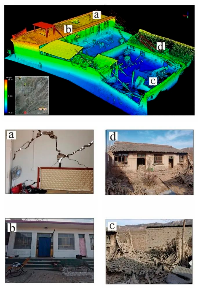
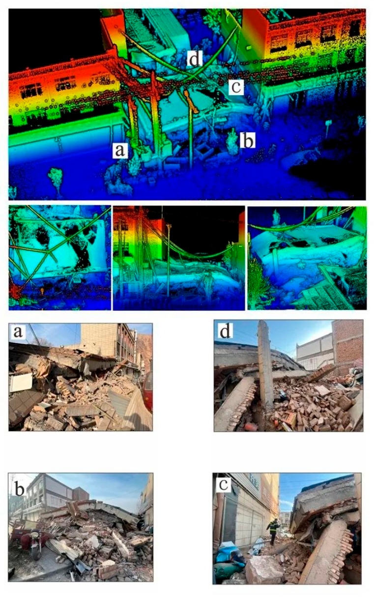
The data reports derived from this process provided invaluable insights into the structural integrity of the affected area, enabling authorities to
make informed decisions for subsequent rescue and recovery efforts.
By leveraging the power of advanced LiDAR technology, Greenvalley has demonstrated its commitment to supporting disaster response efforts and
aiding in the evaluation of damage caused by seismic events.
