Subscribe

Unleash the Power of DJI L2 and LiDAR360 in Forestry Investigations!

-- 10 Nov 2023 --

A more penetrating laser allows DJI L2 to get a clearer canopy point cloud, and you can get
the attributes of each tree from the point cloud data by LiDAR360!
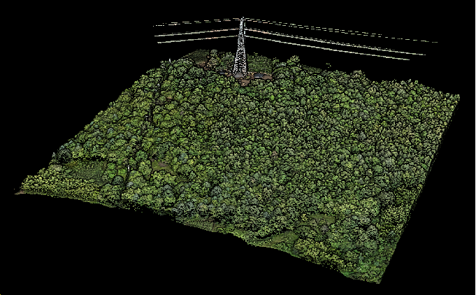


image.png

Regional area:  4ha

Hardware:  DJI L2 

Software:  LiDAR360

Tree Number:  922

Average Height:  12.43m

Average Crown Diameter: 7.95m


444.JPG 

image.png


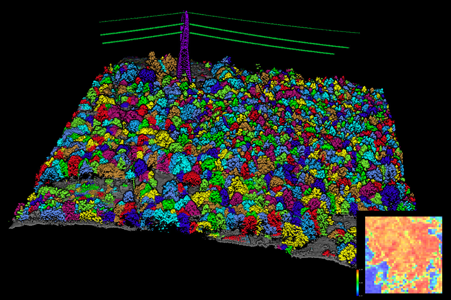
LiDAR360 ALS Forestry Module can segment each tree from UAV point cloud data and obtain their position, tree height,
crown diameter (including NS and WE), crown area, volume, slope, and other attributes. Also, it supports the calculation of
forest population parameters such as leaf area index, gap Fraction, canopy cover, and so on. 


Make your forestry survey work more efficiently with LiDAR360!


A more penetrating laser allows DJI L2 to get a clearer canopy point cloud, and you can get
the attributes of each tree from the point cloud data by LiDAR360!


image.png

Regional area:  4ha

Hardware:  DJI L2 

Software:  LiDAR360

Tree Number:  922

Average Height:  12.43m

Average Crown Diameter: 7.95m


444.JPG 

image.png


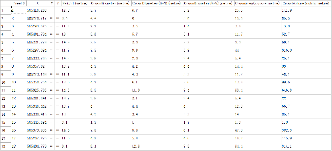
LiDAR360 ALS Forestry Module can segment each tree from UAV point cloud data and obtain their position, tree height,
crown diameter (including NS and WE), crown area, volume, slope, and other attributes. Also, it supports the calculation of
forest population parameters such as leaf area index, gap Fraction, canopy cover, and so on. 


Make your forestry survey work more efficiently with LiDAR360!


Recommended Articles

HOW CAN WE HELP YOU?
Message us your questions and contact information.
We’ll get back to you right away!