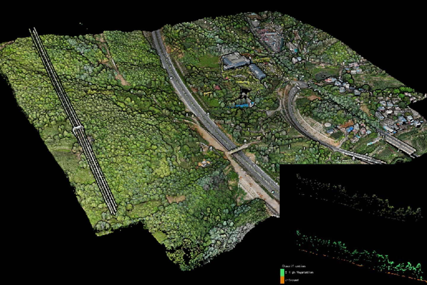
DJI L2 provides you with superior ground points for forest areas,
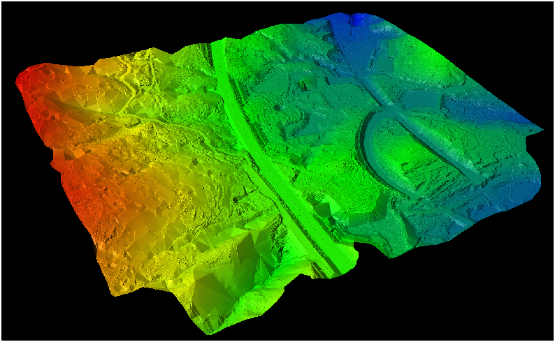
while LiDAR360 assists you in completing the entire process for topographic mapping products.
Measuring Area: 0.8 km²
Hardware: DJI L2
Flying Height: 160 m
Flying Speed: 15 m/s
Side Overlap: 40%
Costing Time: 15minutes
Point Density: Average 265 points/m²

Software: LiDAR360
Ground Points Density (Auto Classification) : Average 75/m² for entirety, 49/m² for Forest area
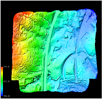
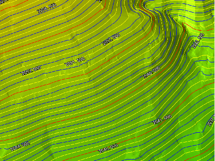
Production: DEM, Contour, 3D Model, etc
Resolution: 0.2m for Raster Data


LiDAR360 not only supports the production of various terrain products, but also can improve the quality of UAV point cloud data for more than 50 km².
Production, Editor, and Inspection are all supported, with a wealth of automatic tools.
Contact us now for more information: info@greenvalleyintl.com
