New Release: LiMobile M1 Mobile Laser Scanning System
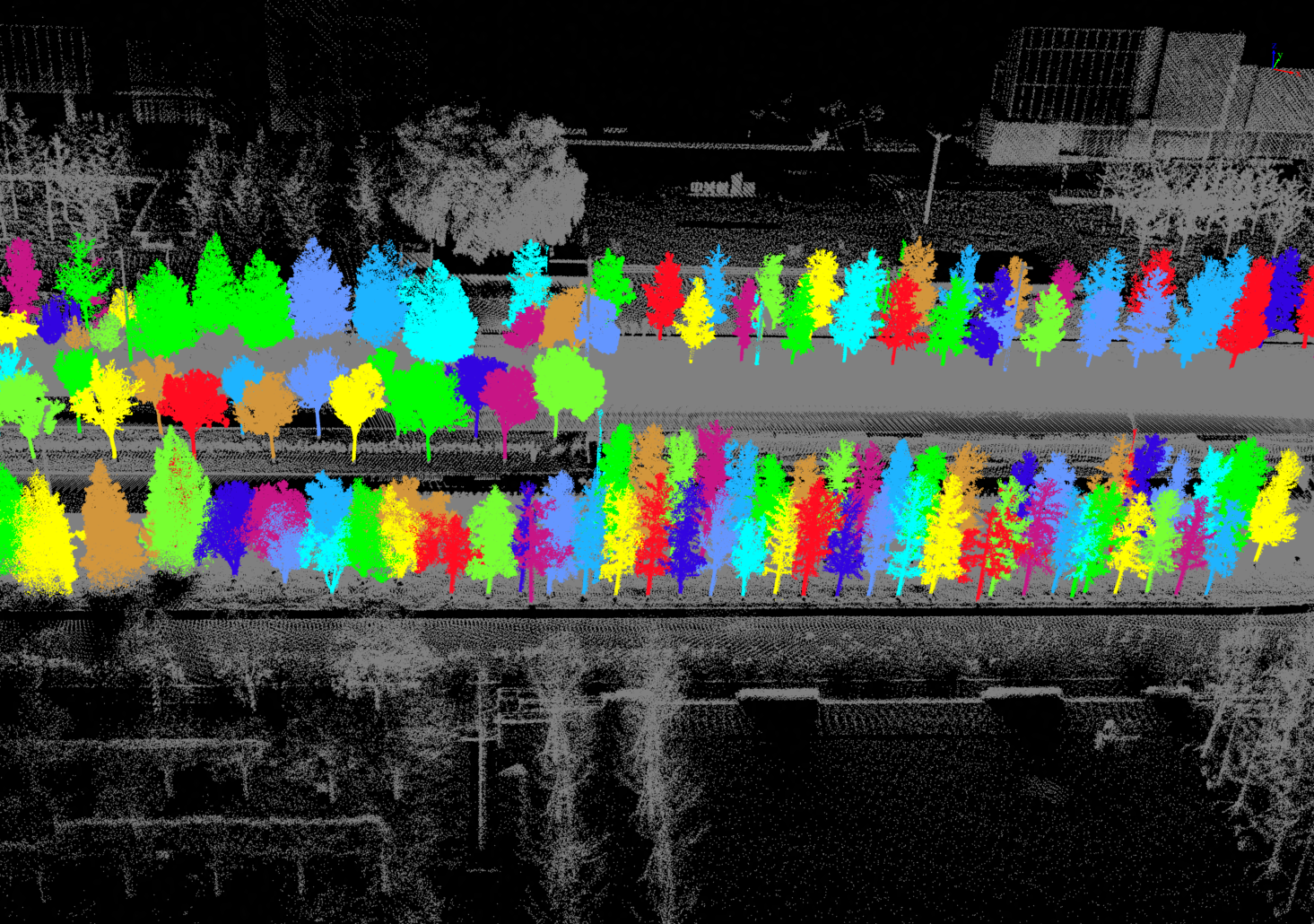
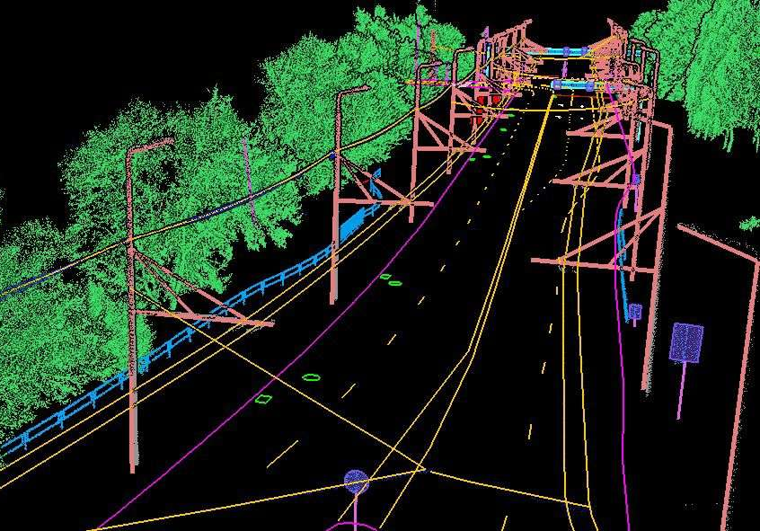
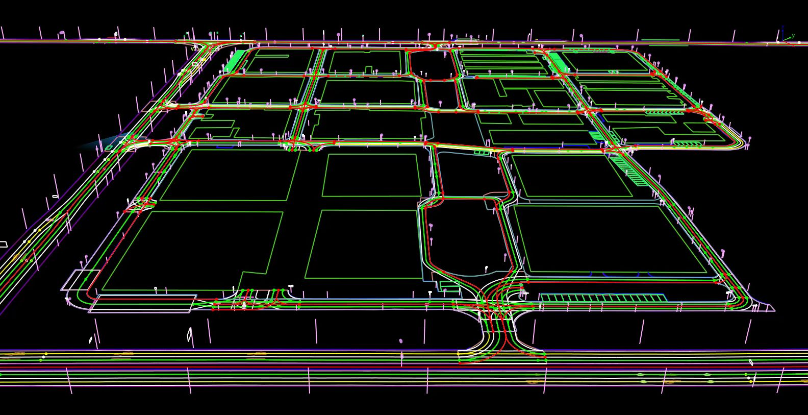
Integrating high-performance laser and panoramic camera, provides an all-in-one high-precision road element collection solution for industries such as road asset surveys, urban power surveys, city landscaping, smart transportation. It empowers industry users to achieve business innovation from point cloud data to productivity.
Rapid Acquisition of 3D Data of Roads and Surrounding Objects
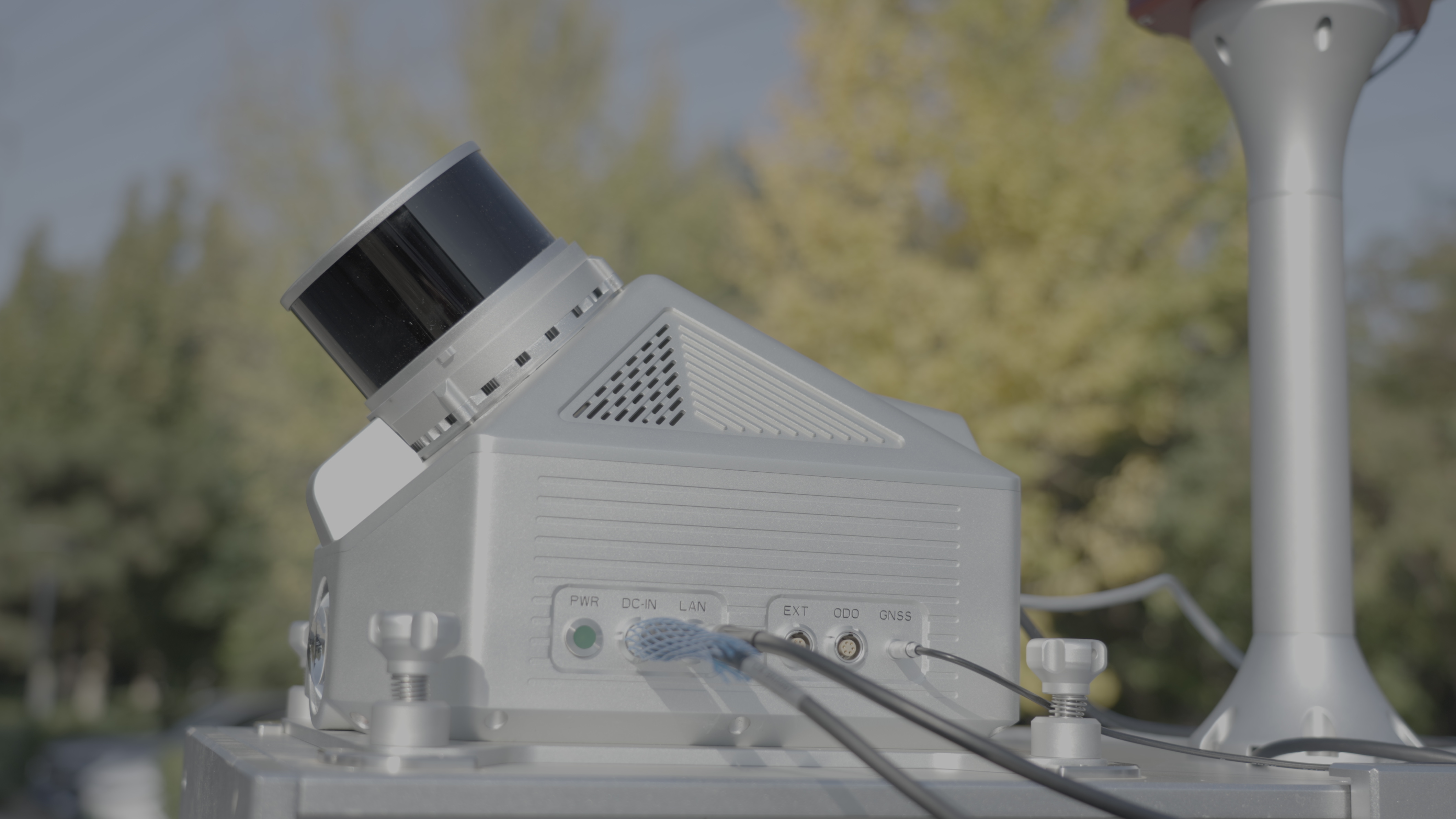
The device is equipped with a high-precision GNSS/INS navigation system and a tilted 32-channel laser scanner, capable of emitting 640,000 laser points per second. The point cloud data obtained has a relative accuracy of ≤3 cm and an absolute accuracy of ≤15 cm, ensuring efficient and accurate capture of point cloud details. Additionally, it is equipped with an 890W pixel flat camera and a 3000W pixel ladybug5+ panoramic camera, enabling fast acquisition of ultra-high-definition images with precise color rendering, delivering an accurate representation of the physical world.

Real-time Monitoring
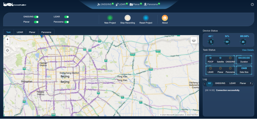
The newly upgraded web-based interface provides a simple and clear user experience, displaying real-time collection routes, point cloud data, high-definition images, and device operating status. Stay in control by having all device statuses at your fingertips.
Providing Extensive Expansion Interfaces
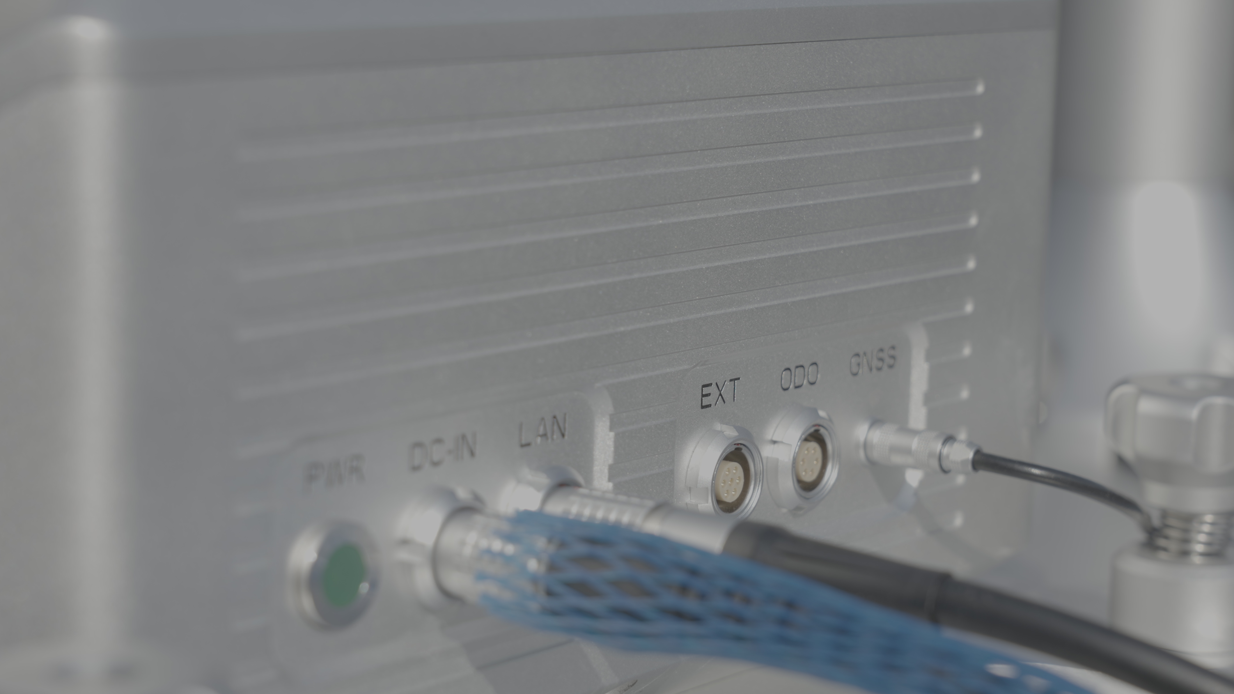
LiMobile M1 offers a wide range of expansion interfaces, supporting the optional wheel encoder and a hot-swappable 2TB hard drive for convenient and quick storage and copying of large datasets.
One-stop Solution for Delivering Results
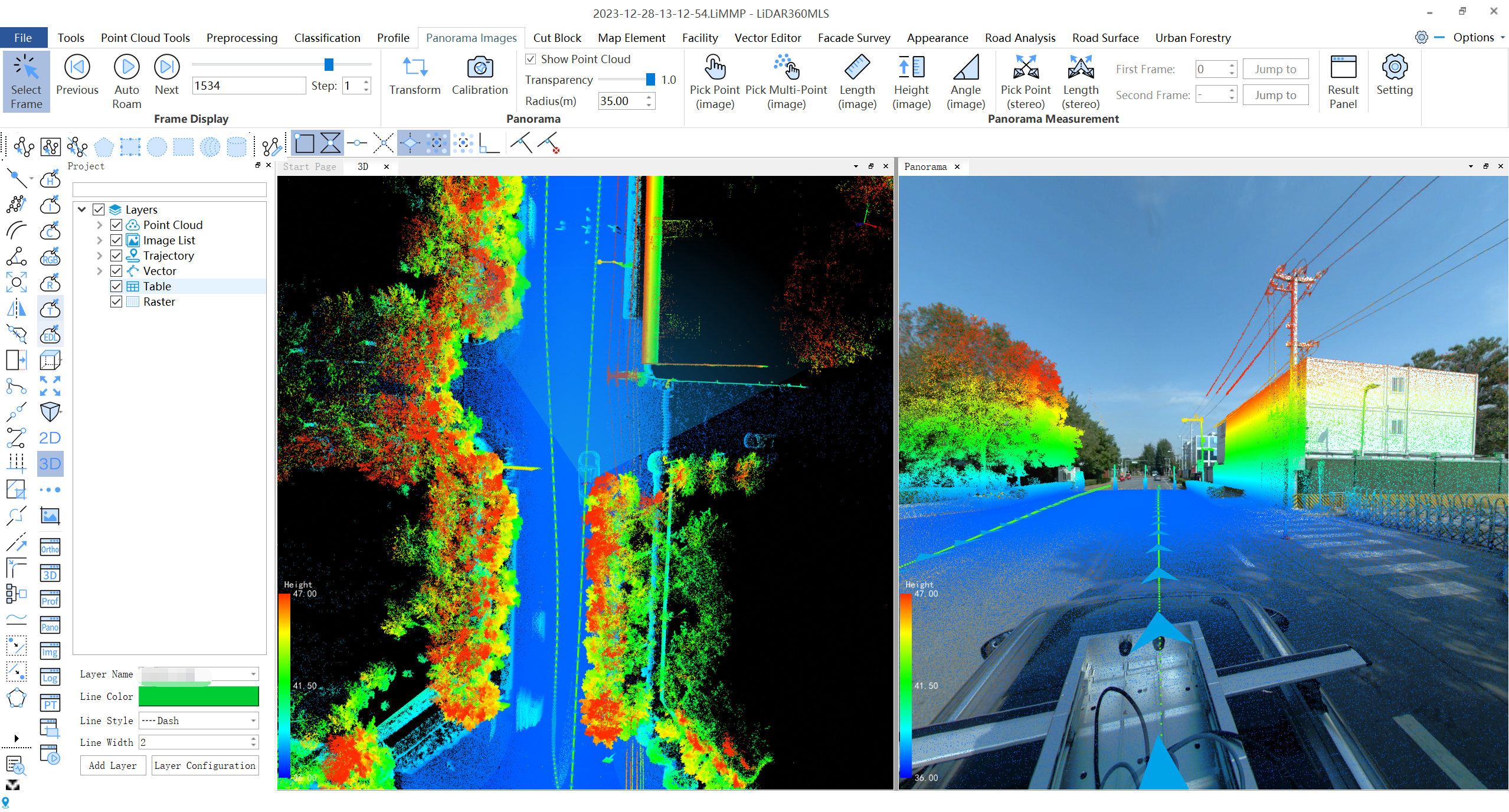
Paired with LiGeoreference, a self-developed data preprocessing software, and LiDAR360 MLS data post-processing software, LiMobile M1 offers a seamless one-stop solution from data collection to result delivery.
Multiple Industry Applications
With its outstanding and reliable hardware performance, LiMobile M1 supports numerous industry applications such as road asset surveying, urban power surveying, urban landscaping, and intelligent transportation.
