Subscribe

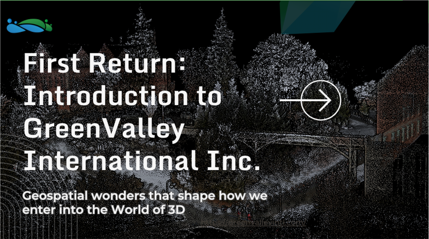
GVI March Webinar: First Return

-- 31 Mar 2023 --

图片 1.png


We are excited to announce that we recently conducted a webinar on various topics related to our company, GVI. The webinar was designed to provide you with an overview of our hardware and software line-up, as well as to introduce you to some of our recent use cases and potential guests for the next webinar.


The webinar was divided into six sections, which are summarized below:


1. Introduction to GVI and US team

Our team gave a brief introduction to GVI and the US team, including our background, our mission, and the industries we serve. This section also provided an overview of the webinar agenda.


2. Introduction to what GVI has done over the Last Year, a couple of Use Case studies

In this section, we presented some of the recent use cases that highlight the capabilities of our products. We covered various industries such as transportation, and construction. The use cases showcased the efficiency, accuracy, and cost-effectiveness of our solutions.


3. Introduction to the GVI Hardware range

This section provided an overview of our hardware line-up, which includes airborne and terrestrial scanning systems. We discussed the key features, specifications, and applications of each product in detail.


4. Introduction to the GVI Software range

In this section, we introduced our software line-up, which includes LiDAR360, MLS, and other tools. We discussed the key features and capabilities of each software and showcased some of the functionalities through videos and demos.


5. Short clip of LiDAR360 in action "Ground Classification" with more to come

This section featured a short clip of LiDAR360 in action, specifically "Ground Classification." We demonstrated how LiDAR360 can be used to classify ground surfaces accurately and efficiently.


6. Questions and Answers

In the final section, we opened the floor for questions and answers. We encouraged the audience to ask questions related to the webinar topics or any other queries they had about GVI and our solutions.


Overall, the webinar was a huge success, and we would like to thank everyone who attended. We hope that the information shared during the webinar was insightful and beneficial. If you missed the webinar or would like to revisit any of the topics covered, the recording is available on our Youtube https://youtu.be/IQzYhQ-uLhc


Stay tuned for our upcoming webinar, which promises to be even more exciting and informative.


Recommended Articles

HOW CAN WE HELP YOU?
Message us your questions and contact information.
We’ll get back to you right away!