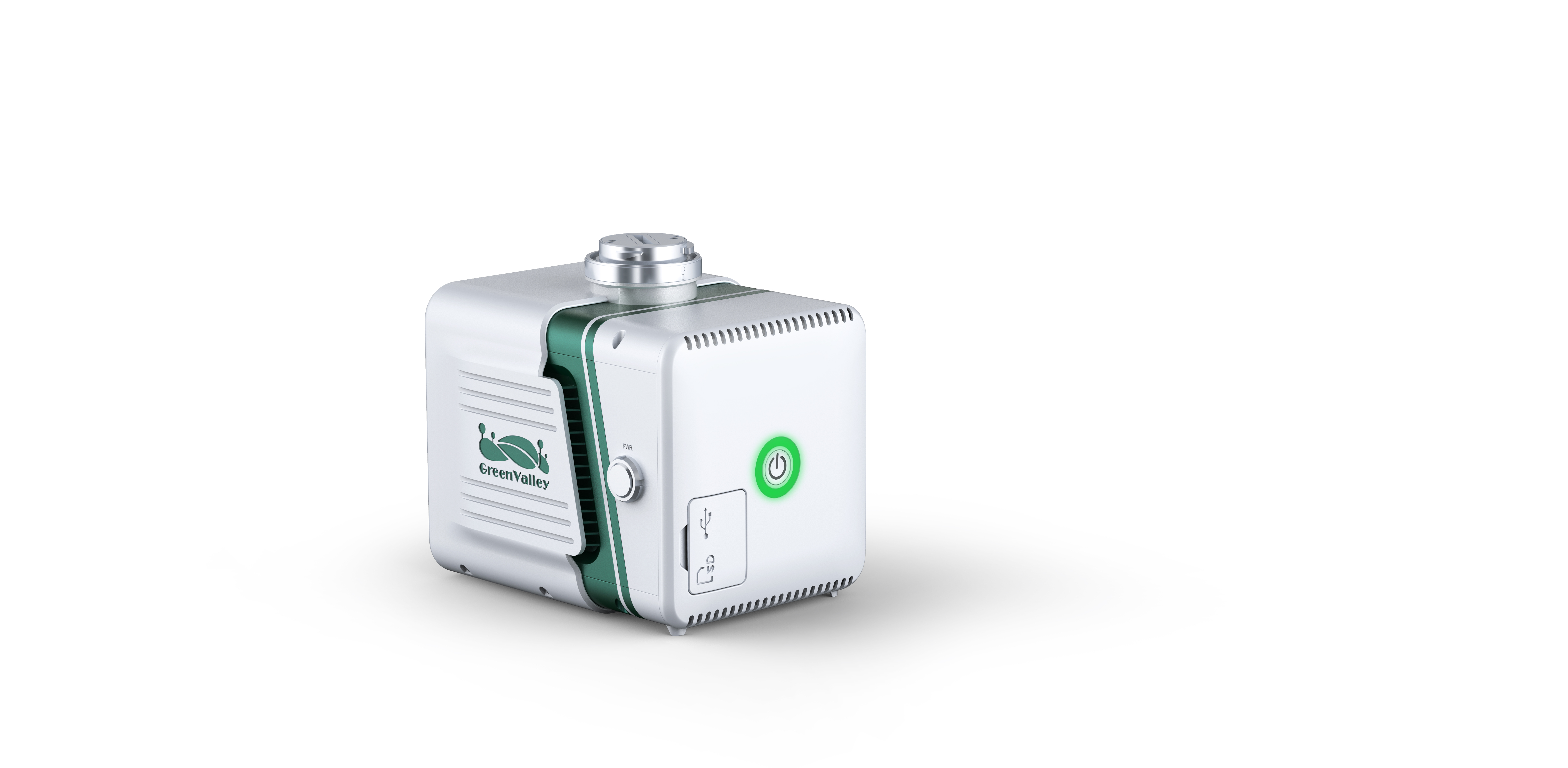
LiGrip

| Laser Sensor | Livox AVIA |
| Weight | 1.25kg |
| Range Accuracy | ± 2cm |
| System Accuracy | ± 5cm |
| POS System Performance | Attitude: 0.008° (1σ) |
| Azimuth: 0.038° (1σ) | |
| Onboard Storage | 256GB |
| Detection Range(@100klx) | 190m @ 10% reflectance |
| 230m @ 10% reflectance | |
| 320m @ 10% reflectance | |
| Dimensions (Main Unit) | 136 × 106 × 129 mm |
| Camera Image Sensor Format | APS-C Lens 16 mm fixed focal length lens Effective Pixels 26 megapixels Picture Element Size 3.76 um Image Size 6252 * 4168 DFOV 83° |
| Display and Control Application | LiPLan APK |
| Acquisition /PP POS Software | LiGeoreference |
| Field of View Repetitive scanning pattern | 70.4° horizontal × 4.5° vertical Non repetitive scanning pattern: 70.4° ( horizontal ) × 77.2° ( vertical) |
| Scan Rate | 240,000 pts/s (first return) 480,000 pts/s (dual return) 720,000 pts/s (triple return) |
| IP Rating | (IP67) |
| Laser Safety Class | 1 (IEC 60825-1:2014) (Safe for eyes) |
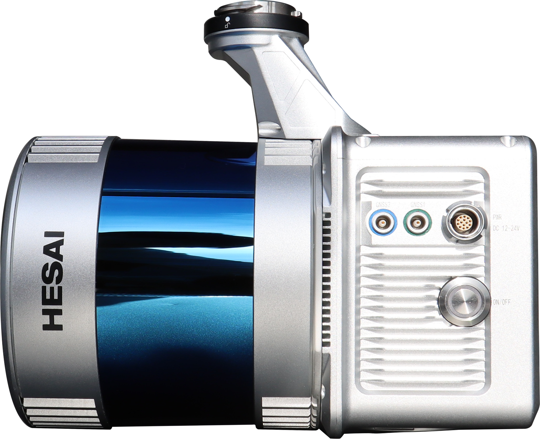
| Laser Sensor | Hesai Pandar40P |
| Range Accuracy | ± 2cm |
| System Accuracy | ± 5cm |
| POS System Performance | Attitude: 0.008° (1σ) |
| Attitude: 0.038° (1σ) | |
| Weight | 2.1kg (incl. camera) |
| Dimensions (Incl. Camera) | 189.7 x 104 x 169.2mm |
| Route Planning Software | LiPlan |
| Acquisition /PP POS Software | LiGeoreference |
| Field of View | 360°(Horizontal) 40° (Vertical) |
| Scan Rate | 720,000 pts (Single Return) 1440,000 pts (Dual Return) |
| Weight (with Camera) | 8.6kg |
| Dimension | 1135×318×315mm (Extended) 960×318×315mm (Retracted) |
| Relative Accuracy | ±3cm |
| Absolute Accuracy | ±5cm |
| Scan Rate | 640,000pts/s (Single return) |
| Power Consumption | 50W |
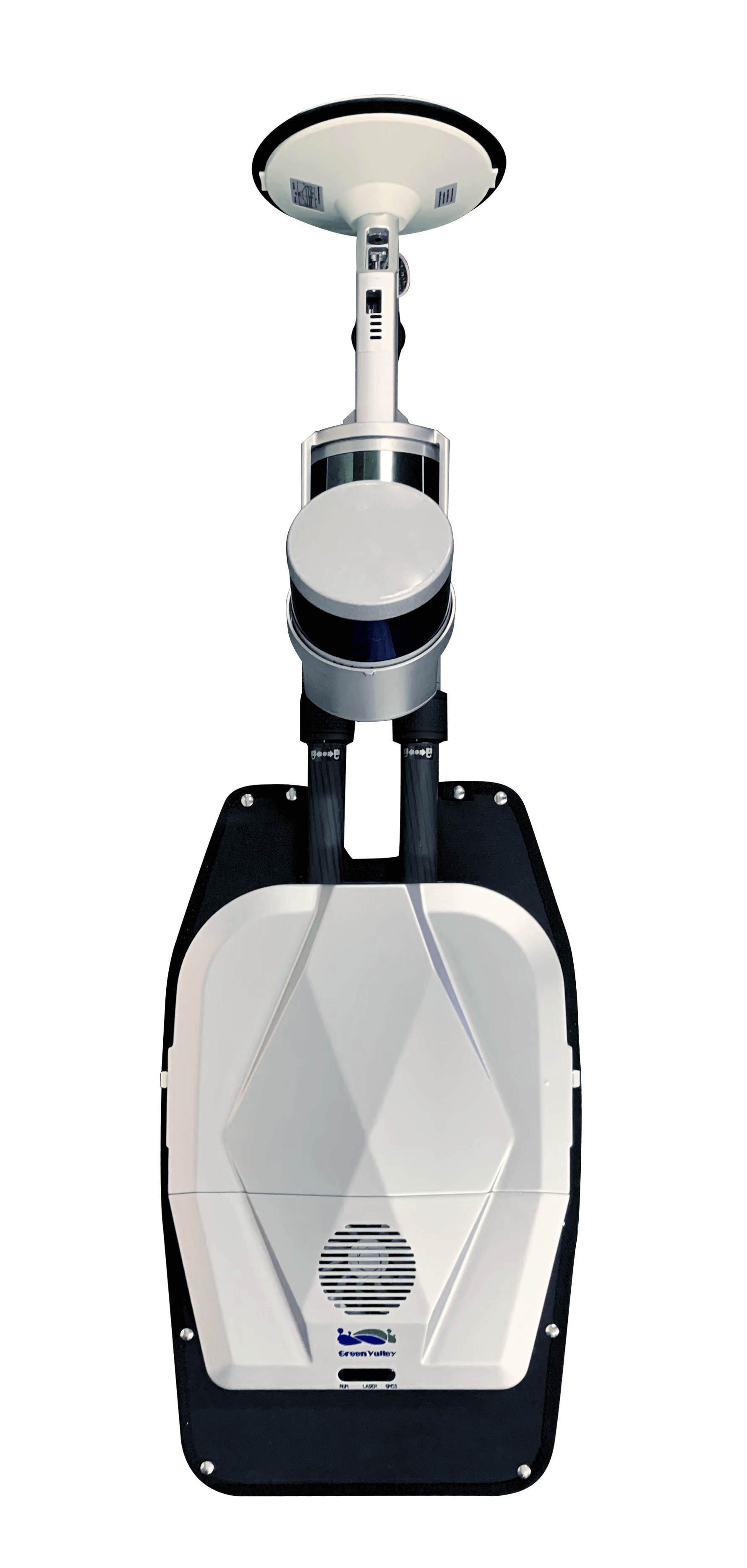
| Work Mode | Backpack |
| Number of Channels | 16 channels |
| Scan Range | 120m |
| Number of Returns | 2 Returns |
| Number of Scanners | 2 Scanners |
| LiDAR Sensor FOV | Horizontal: 360° Vertical: 180° (-90° ~ 90°) |
| GNSS Satellites | GPS: L1 C/A, L1C, L2C, L2P, L5 GLONASS: L1 C/A, L2C, L2P, L3, L5 Galileo: E1, E5a, E5b, E5 Alt BOC,E6 BeiDou: B1, B2 |
| GNSS Positioning | 1cm+1ppm |
| Camera Resolution | 5760×2880 |
| Video Recording Method | Time-lapse, 2s/frame |
| Camera FOV | 360° Panorama |
| Pixels | 1800W |
| Laser Sensor | Hesai XT-16 |
| Dimensions (Main Unit) | L204mm×W130mm×H385mm |
| Data Logger / Battery Compartment | L134mm×W64.6mm×H167mm |
| Battery | 5875mAh |
| Typical Ground Speed | 1m/s |
| Working hours | ~ 4 hours w/ Self Developed Battery |
| Storage | 256GB SSD |
| Operation & Data Transfer | WIFI connection (mobile device or tablet) |
| Absolute Accuracy | ± 5cm |
| Sensor Accuracy | ± 3cm |
| Horizontal FOV | 360° |
| Measuring range | 120m |
| Camera | 360 ° panoramic lens intergration |
| Resolution | 5760×2880 |
| Frame rate | 30fps |
| Size | 72mm×48mm×43mm |
Point Cloud Post-Processing Software

Point Cloud Processing Software for Power Line Inspection & Analysis

Data Processing, Visualization, and Optimization Software for GVI LiBackpack

Georeferencing Software