Subscribe

LiDAR360 V7 Version Released! Unlease the value of date!

-- 11 Oct 2023 --


Unlocking the Full Potential of Point Clouds with LiDAR360 V7! As a market-leading professional point cloud data processing and application software, the all-new LiDAR360 V7 can analyze and process massive point cloud data, adapt to multiple platforms and devices, and provide more than 90 new functions to support applications across multiple industries.


1. Solve equipment error, placement error, and trajectory error in one-click.
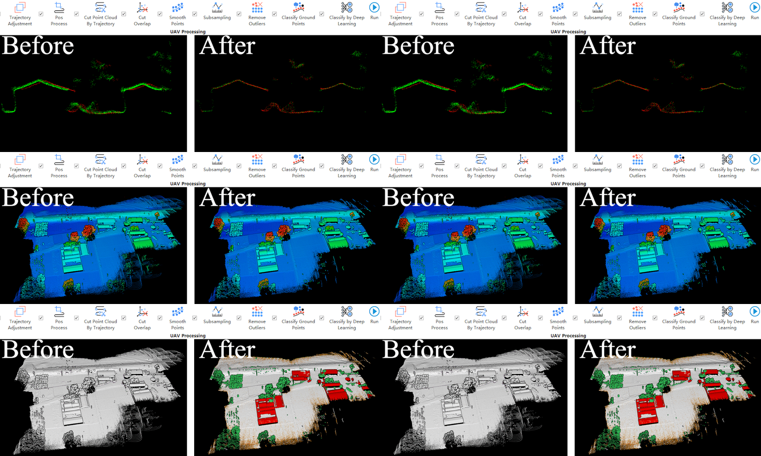
一键预处理.gif


2. Optimize automatic data registration for multiple platforms, improving data aggregation accuracy.
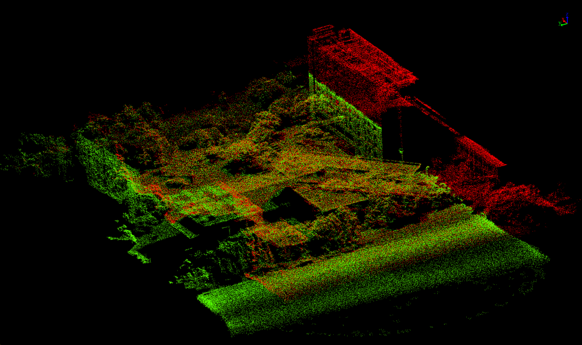
地基-机载配准.png


3. Update vector editor module , seamlessly aggregating CAD and GIS data.  
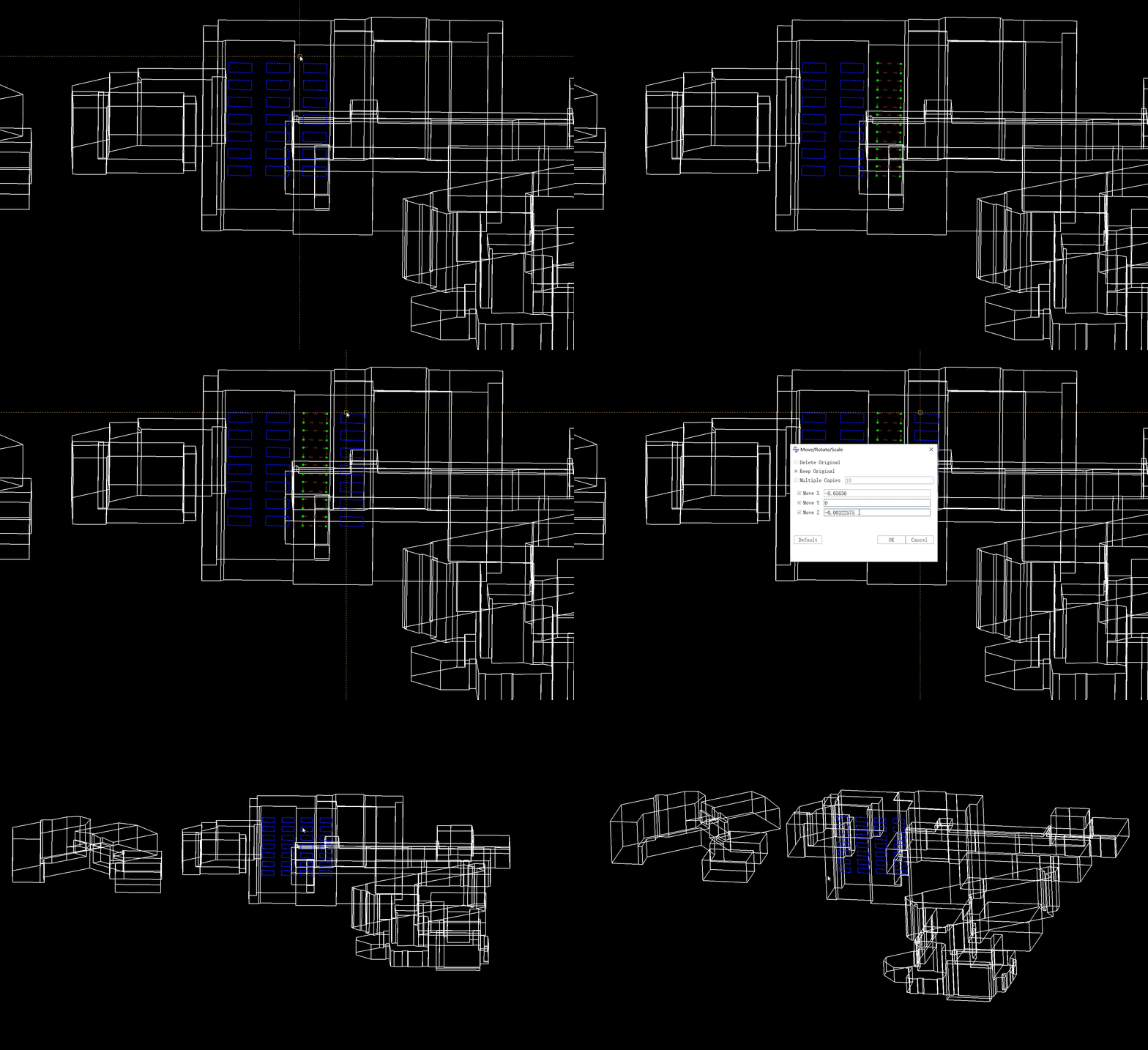
CAD.gif
GIS.gif

4. Add vector attributes management and GIS analysis tools.


5. Support mainstream aerial triangulation projects to generate DOM.


DOM.png


6. Add drainage analysis function, aiding drainage simulation.

排水线分析.gif


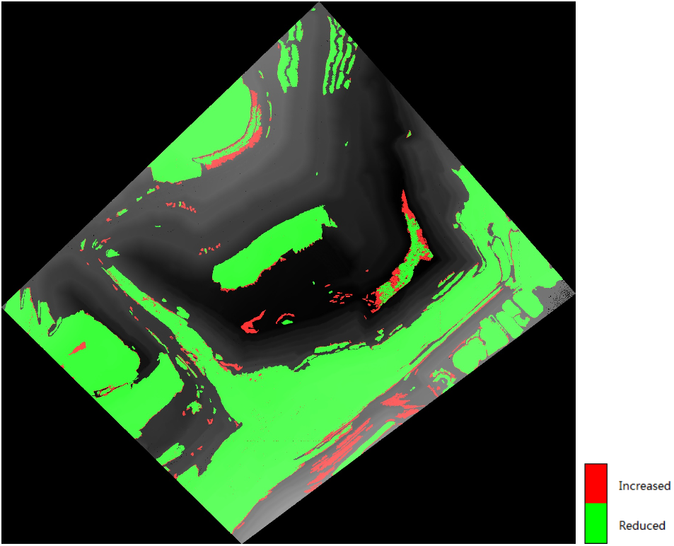
7. Add construction progress analysis to assist in construction progress monitoring.

施工进度.png


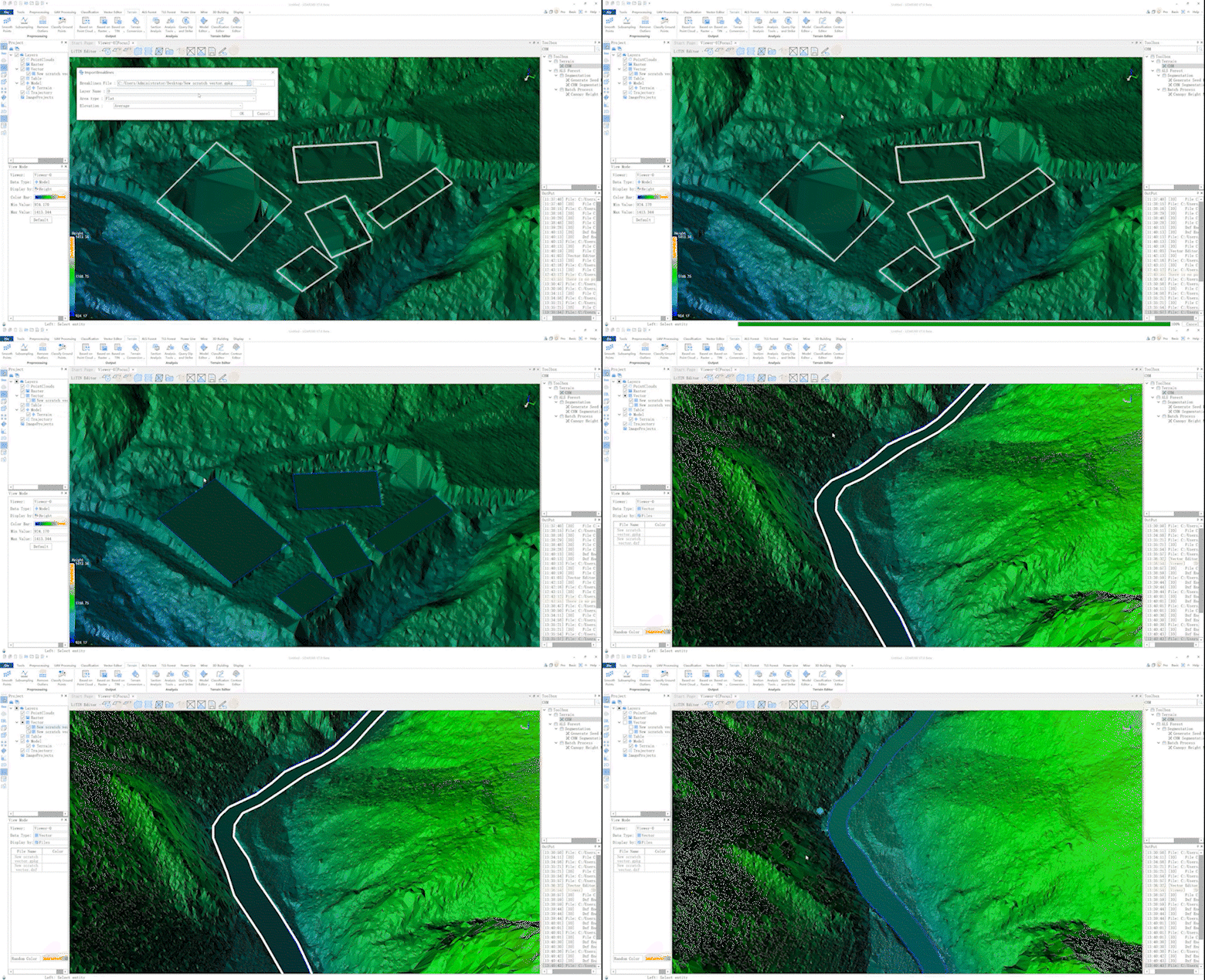
8. Add various terrain editing tools, such as automatically detect elevation of vector data, flattening buildings/river base.

高程自动置平.gif


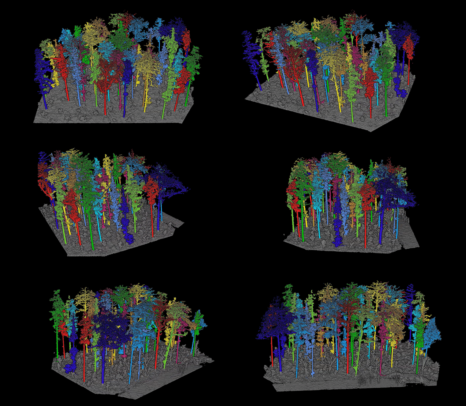
9. Improve Individual tree segmentation accuracy by AI.

TLS单木分割.gif


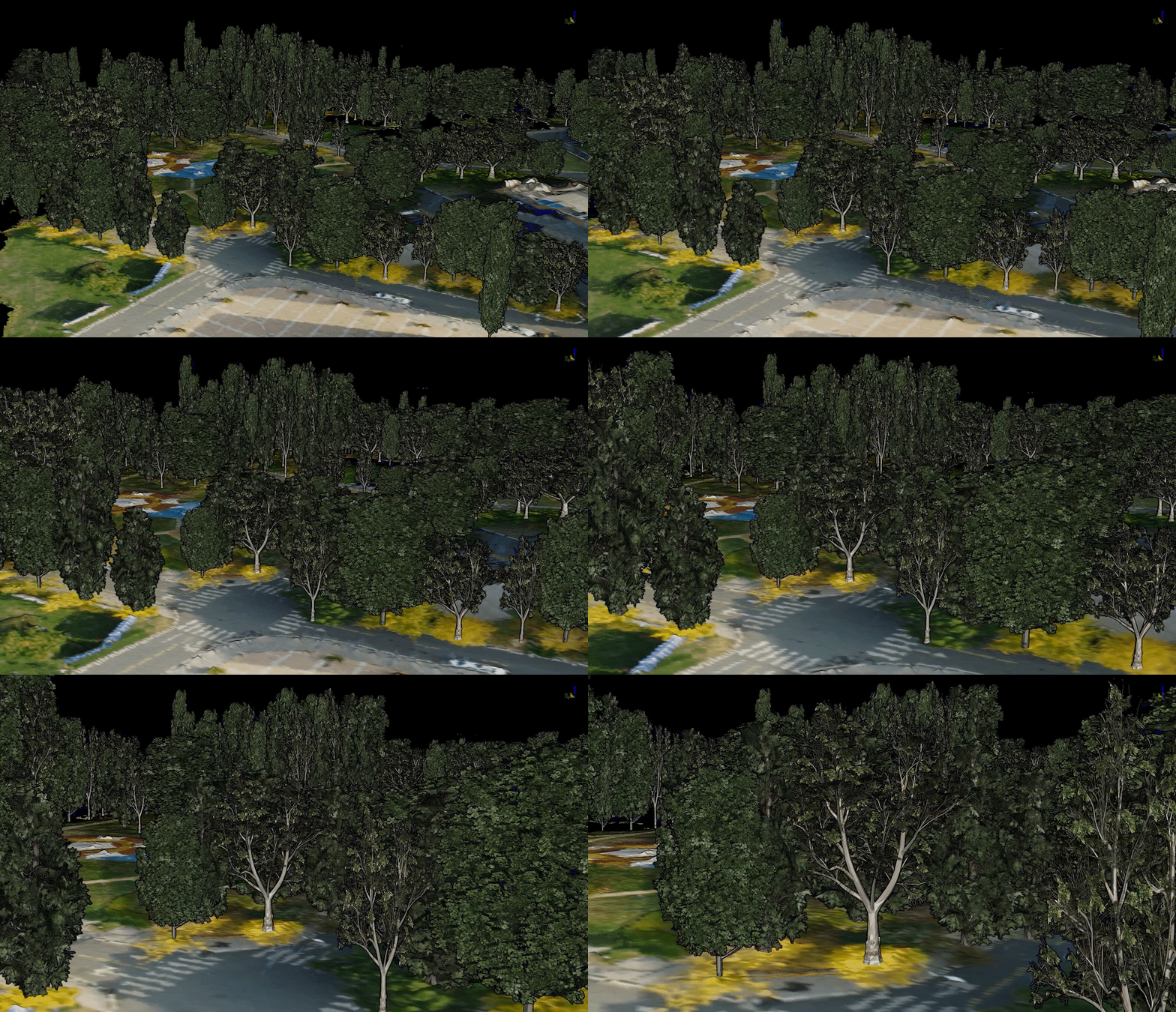
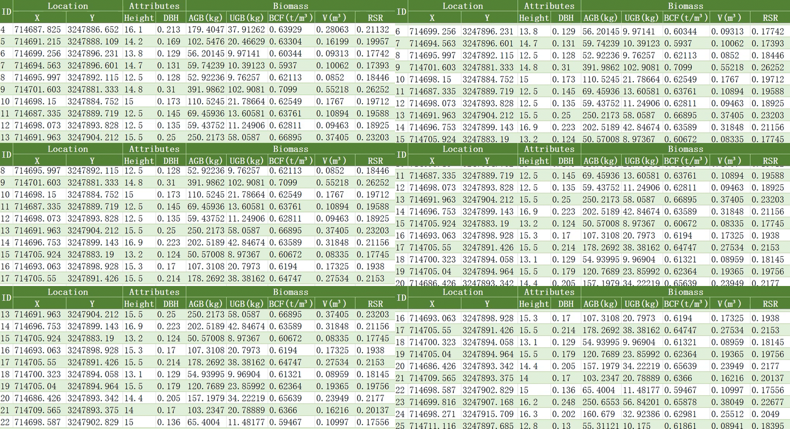
10. Calculate individual tree biomass by biomass model, supporting user-customized biomass models.

Biomass.gif树木建模.gif


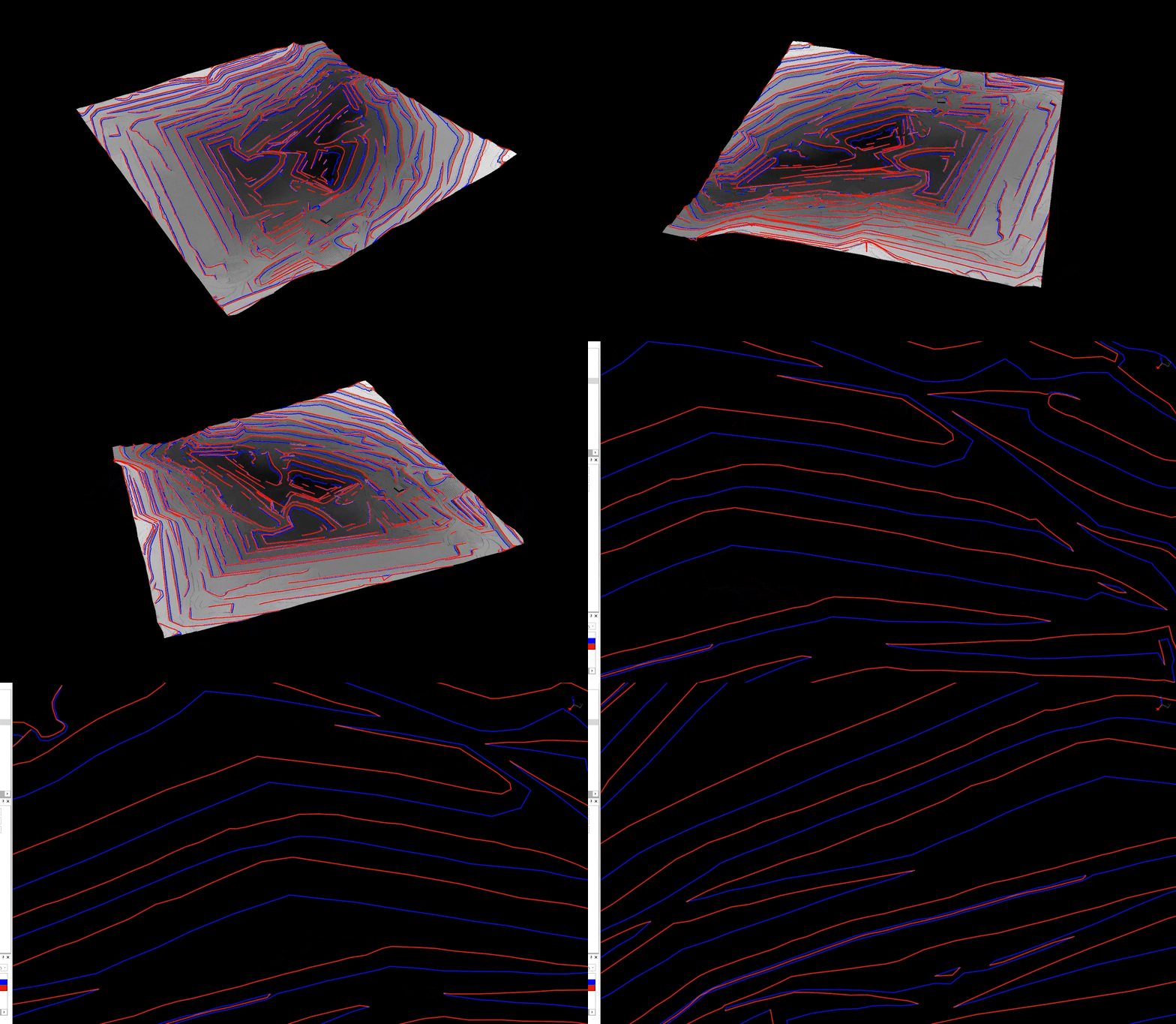
11. Extract open-pit mine crests and toes and analysis inter-ramp compliance.

边坡线漫游.gif


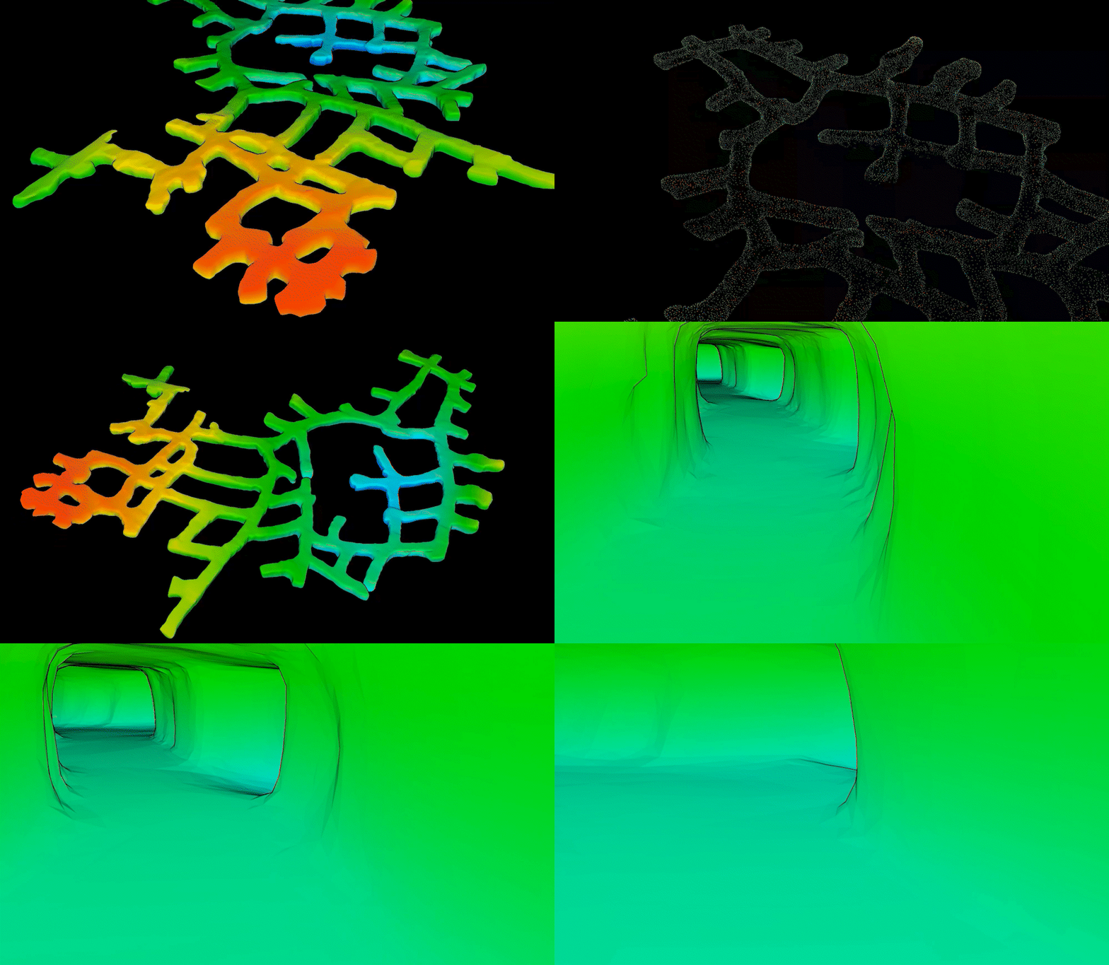
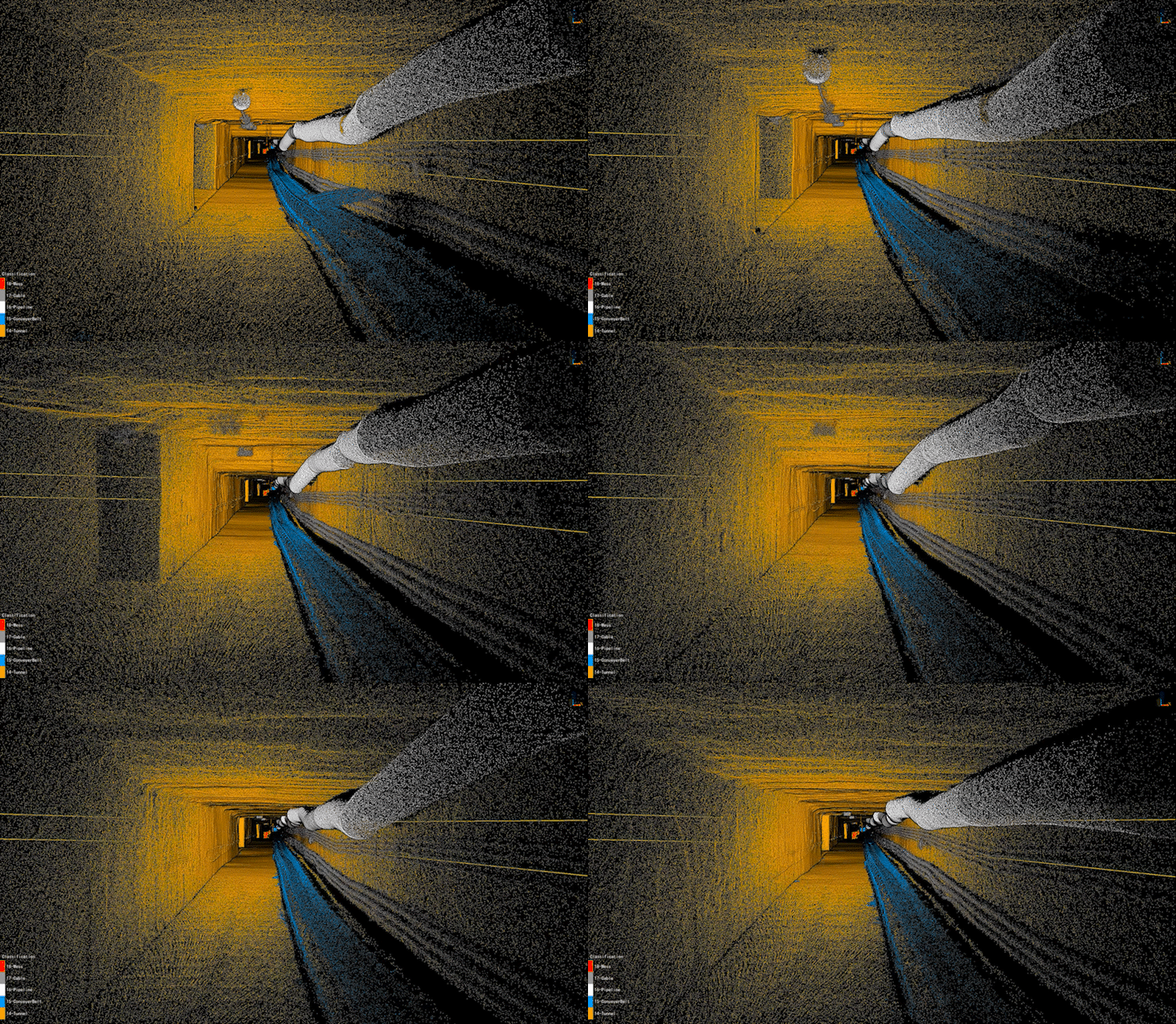
12. Generate tunnel model rapidly. (20minutes for 1000 mters)

巷道.gif

巷道模型漫游.gif


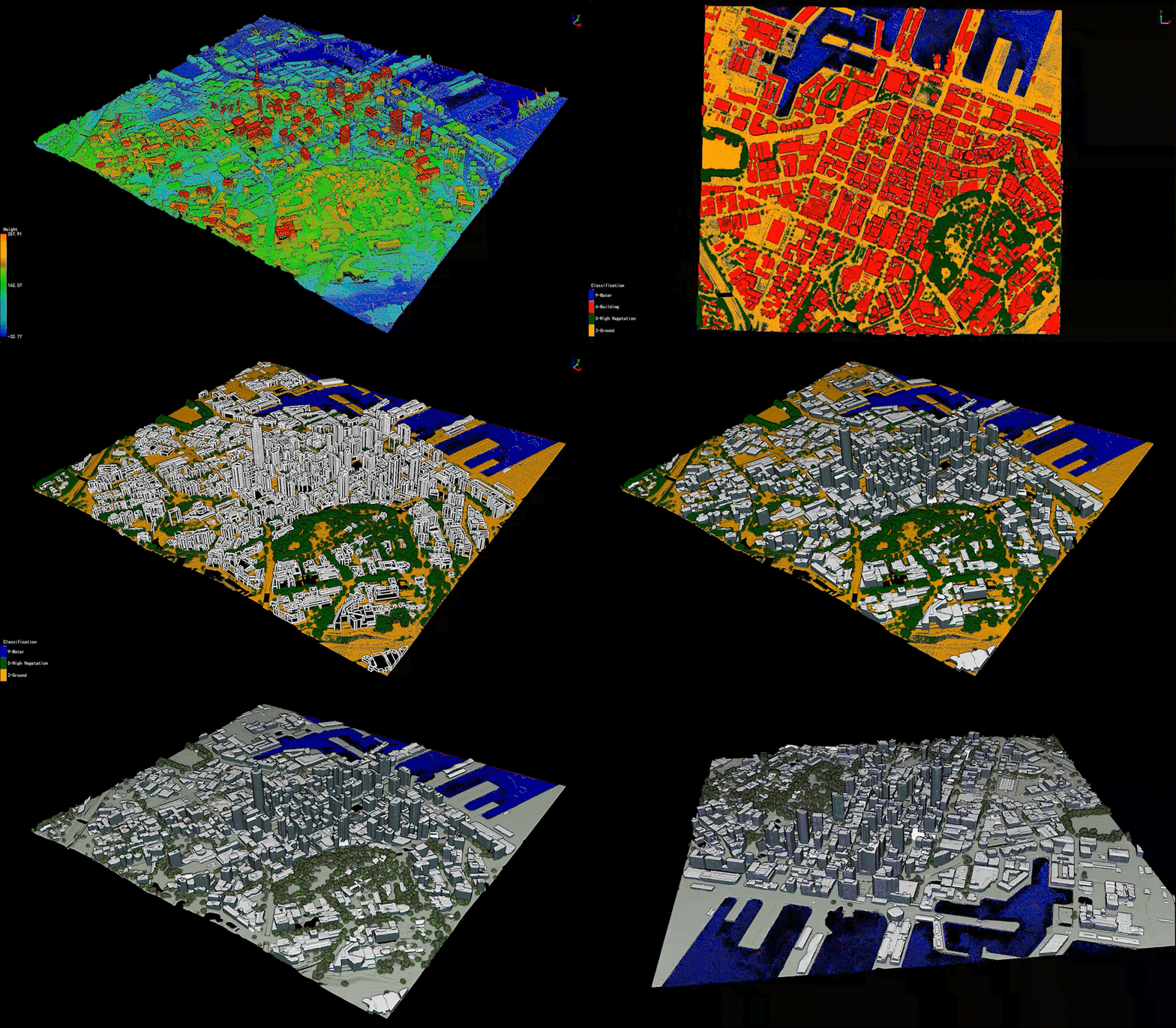
13. Generate building model and automatic texturing. (2ominutes for 10000+ Independent building models)

新西兰漫游.gif

校园漫游.gif


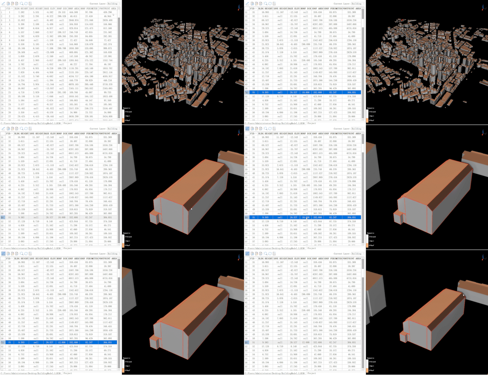
14. Inherit attributes from 2D vector data, and automatically calculate building attributes such as footprint area, base elevation, building height and so on. Helping 3D reality modeling and urban management.

建筑物属性编辑.gif


Efficient and powerful, LiDAR360 V7 utilizes over ten different types of internationally leading point cloud algorithms, artificial intelligence, and machine learning to advance the utilization of LiDAR throughout the industry. This release aims to resolve users' application challenges while unlocking the full potential of their point cloud data.


As a globally leading post-processing and industry application software, LiDAR360 has surpassed 120,000+ downloads worldwide and received clients, contractors, governments, as well as tertiary and research institutions  in over 130 countries. We believe it will remain your most reliable partner.


Unlocking the Full Potential of Point Clouds with LiDAR360 V7! As a market-leading professional point cloud data processing and application software, the all-new LiDAR360 V7 can analyze and process massive point cloud data, adapt to multiple platforms and devices, and provide more than 90 new functions to support applications across multiple industries.


1. Solve equipment error, placement error, and trajectory error in one-click.

一键预处理.gif


2. Optimize automatic data registration for multiple platforms, improving data aggregation accuracy.

地基-机载配准.png


3. Update vector editor module , seamlessly aggregating CAD and GIS data.  
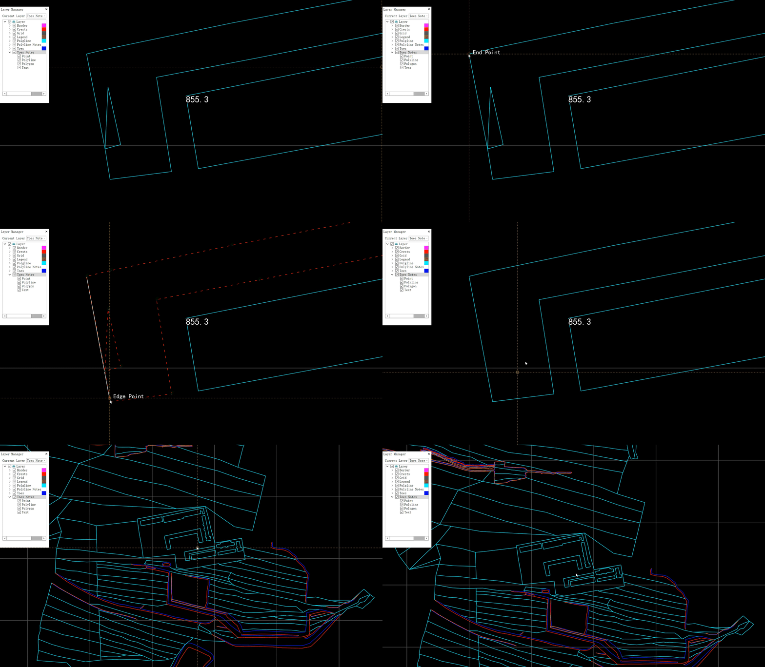
CAD.gif
GIS.gif

4. Add vector attributes management and GIS analysis tools.


5. Support mainstream aerial triangulation projects to generate DOM.
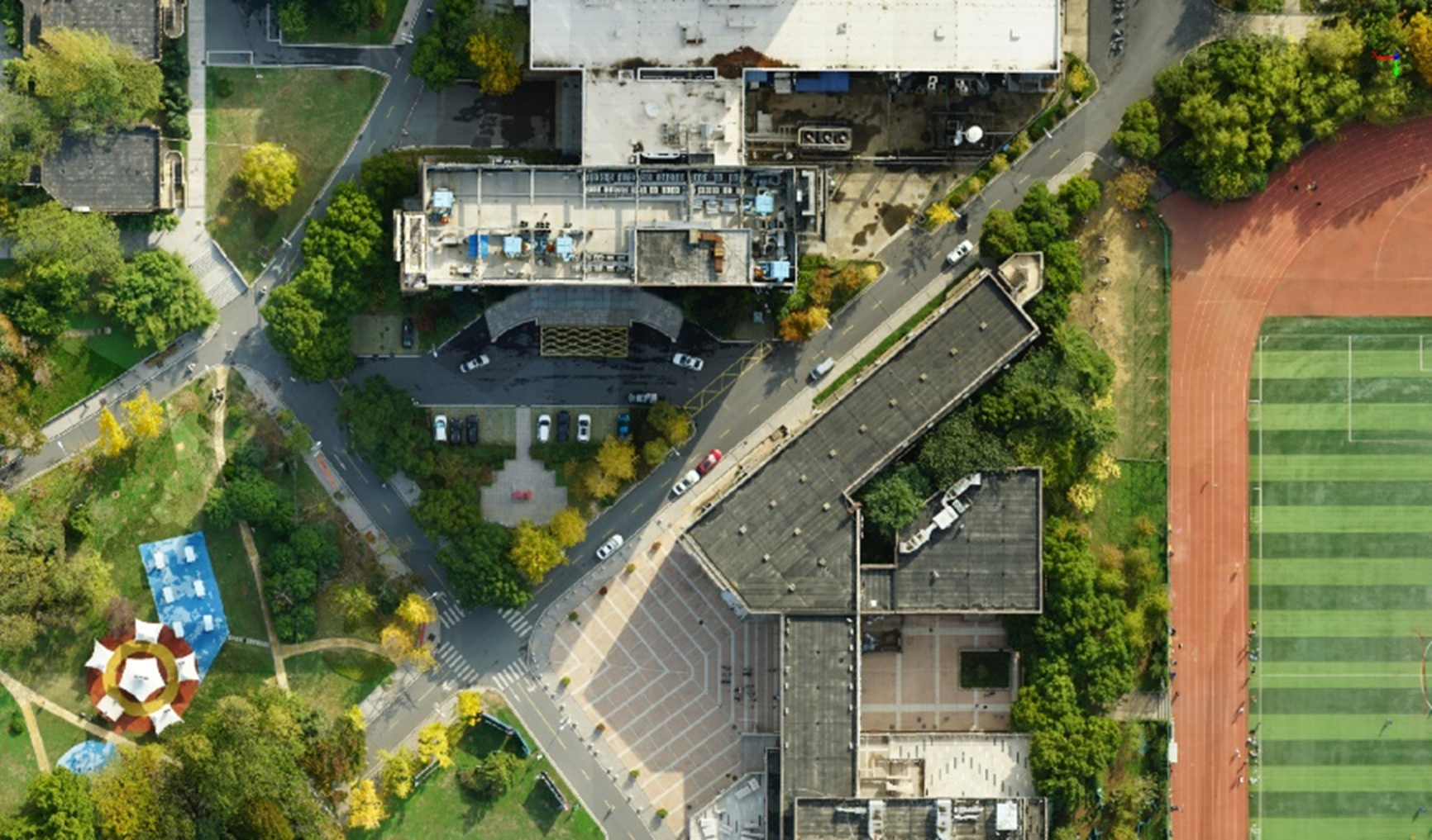

DOM.png


6. Add drainage analysis function, aiding drainage simulation.
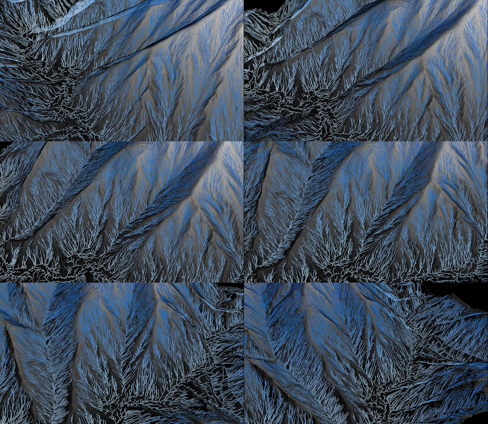
排水线分析.gif


7. Add construction progress analysis to assist in construction progress monitoring.
施工进度.png


8. Add various terrain editing tools, such as automatically detect elevation of vector data, flattening buildings/river base.
高程自动置平.gif


9. Improve Individual tree segmentation accuracy by AI.
TLS单木分割.gif


10. Calculate individual tree biomass by biomass model, supporting user-customized biomass models.
Biomass.gif树木建模.gif


11. Extract open-pit mine crests and toes and analysis inter-ramp compliance.
边坡线漫游.gif


12. Generate tunnel model rapidly. (20minutes for 1000 mters)
巷道.gif

巷道模型漫游.gif


13. Generate building model and automatic texturing. (2ominutes for 10000+ Independent building models)
新西兰漫游.gif

校园漫游.gif


14. Inherit attributes from 2D vector data, and automatically calculate building attributes such as footprint area, base elevation, building height and so on. Helping 3D reality modeling and urban management.
建筑物属性编辑.gif


Efficient and powerful, LiDAR360 V7 utilizes over ten different types of internationally leading point cloud algorithms, artificial intelligence, and machine learning to advance the utilization of LiDAR throughout the industry. This release aims to resolve users' application challenges while unlocking the full potential of their point cloud data.


As a globally leading post-processing and industry application software, LiDAR360 has surpassed 120,000+ downloads worldwide and received clients, contractors, governments, as well as tertiary and research institutions  in over 130 countries. We believe it will remain your most reliable partner.


Recommended Articles

HOW CAN WE HELP YOU?
Message us your questions and contact information.
We’ll get back to you right away!