Subscribe

LiGrip H300 + LiDAR360: Hong Kong Botanical Garden Leaps into Advanced Forestry Management

-- 17 Apr 2024 --

Hong Kong, [March 6, 2024] - GreenValley International (GVI), a pioneer in sustainable horticultural solutions, is proud to announce the introduction of LiGrip H300 + LiDAR360 at the prestigious Hong Kong Botanical Garden. Being the first one to try tomato, GreenValley reaches another stage of innovation by offering an intelligent experience for users by modularized design with technologies into a turn-key forestry system.
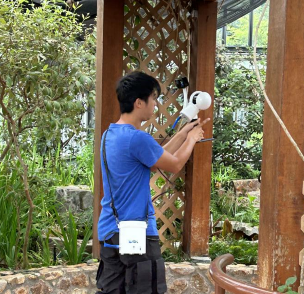
image.png


LiGrip H300 and LiDAR360, both developed by GreenValley, combine advanced sensor capabilities with AI-driven analytics to provide unparalleled insights precision cultivation and environmental stewardship. Taking pride in LiGrip H300’s lightweight handling, user-friendly operation, and versatile installation options, it helps to quickly capture extensive scene data at the Hong Kong Botanical Garden. Moreover, integrated with powerful LiDAR360, a professional processing platform for massive point cloud data, it provides valuable insights for forestry management and ecological assessments and makes the whole forestry survey work more efficiently. What makes this solution function in Hong Kong Botanical Garden project are as below:

Comprehensive Pre-processing: Pre-processing includes activities such as point cloud splicing, de-noising, thinning, blocking and other operations tailored to the specific data context. LiDAR360 offers an extensive array of pre-processing tools for point clouds, catering to the comprehensive needs of handling multi-platform and multi-format point cloud data throughout the entire pre-processing workflow.

Reliable Ground point classification: This can be initiated by accessing the "foundation forestry" toolbar and selecting the "ground point classification" function. Then, click OK to make the classification of ground points work automatically. LiDAR360 software supports a one-click selection of terrain and automatic default parameter adaptation based on the terrain. This ensures that the classification of ground points across diverse terrain conditions can achieve ideal results.
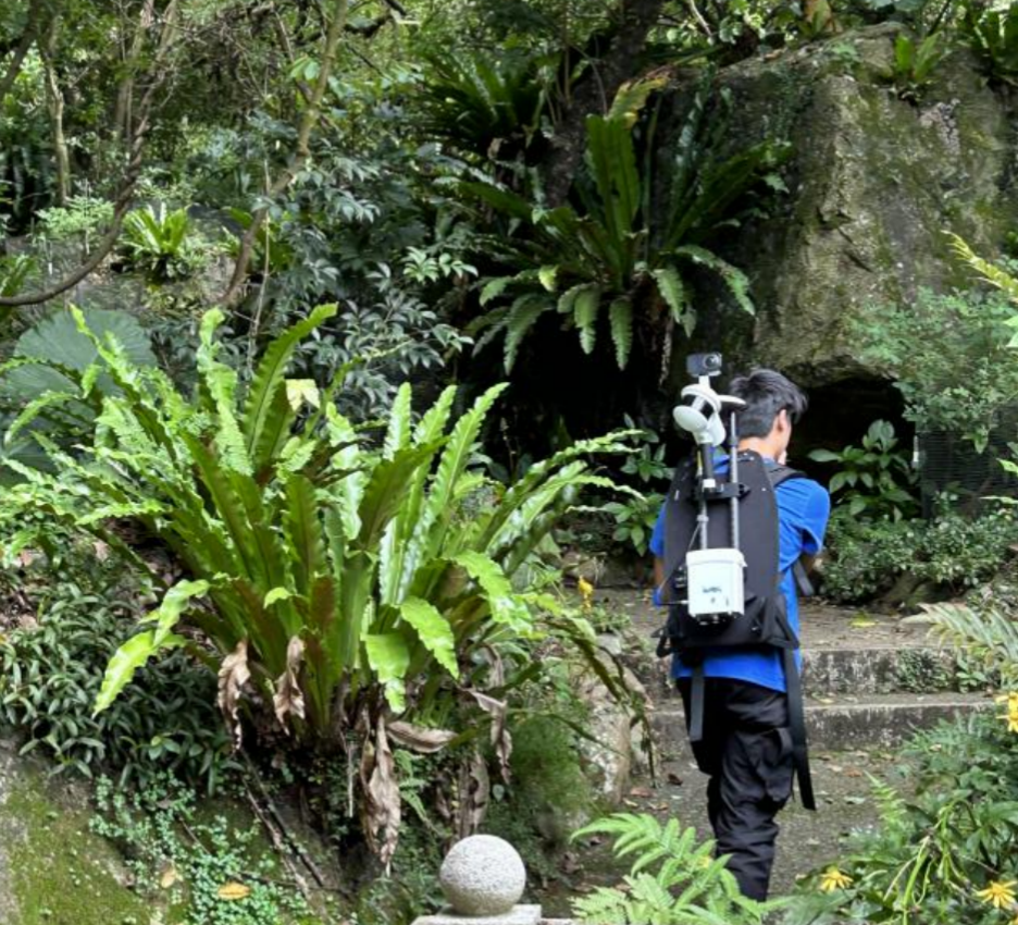


image.png


Efficient Normalization: Normalization involves the removal of the influence of topographic relief on tree point cloud elevation. This process can be achieved by using the in-built function of "foundation Forestry" > "normalization". It is a crucial preparatory step preceding the single tree segmentation process.

Data-driven Single Tree Segmentation: Leveraging LiDAR point cloud data, LiDAR360 employs sophisticated algorithms to accurately identify and segment single trees within dense forest canopies, facilitating detailed analysis at the tree level. For example, it empowers to obtain each tree’s position, height, crown diameter (including NS and WE), crown area, volume, slope, and other attributes.  Also, it supports the calculation of forest population parameters such as leaf area index, canopy cover, gap fraction, and so on.

Easy Sub-branch Height & Trunk Volume Extraction: LiDAR360 makes it easy to automatically extract sub-branch height, trunk volume, and other relevant parameters and input them into the property table by utilizing its function of "Foundation forestry" > "sub-branch height extraction".

As you can see, the implementation of LiGrip H300 + LiDAR360 underscores the Hong Kong Botanical Garden's dedication to embracing innovative solutions for forestry management while prioritizing environmental sustainability and conservation efforts. All of these ensure consistent and tailored care for the diverse botanical collection at the Hong Kong Botanical Garden.

Along with the cutting-edge LiGrip H300 hardware, GVI’s versatile LiDAR360 software achieves better LiDAR and photogrammetry data post-processing for terrain mapping, forestry applications, powerline surveys, etc. “We are thrilled to collaborate with Hong Kong Botanical Garden to further the mission of conserving plant diversity and promoting environmental awareness. Luckily, the insight and precision offered by LiGrip H300 + LiDAR360 can align perfectly with our commitment to providing an effective and efficient forestry investigation experience for Hong Kong Botanical Garden projects.” said the Director of GreenValley, “Our team always strives to develop what the users are exactly looking for and what they expect, then LiGrip H300 + LiDAR360 solution is no exception.”


Recommended Articles

HOW CAN WE HELP YOU?
Message us your questions and contact information.
We’ll get back to you right away!