HD Maps
GVI Applications Series: LiDAR in HD-Map

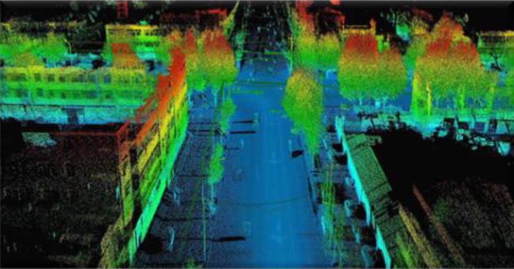
LiDAR360 MLS software supports automatic and semi-automatic identification of all road elements, including road lines, road surface markings, road facilities, even the trees and the distributing lines along the Road etc. In total 23 types of ground markings.
The vehicle height, width, and vehicle image information are obtained, and the over-limit vehicles are pushed to the management department and alerted. And also the monitoring information of traffic congestion could be informed to the operation center.