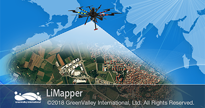
LiMapper
Photogrammetry Processing Software

The state-of-the-art photogrammetry & computer vision algorithms integrated into the software enables users to automatically reconstruct geometric structures by overlapping aerial photos or multispectral images. LiMapper can generate a series of industry-standard photogrammetry products such as dense cloud, DEM/DSM & TDOM (true orthomosaic). Furthermore, functions such as bundle block adjustment, camera self-calibration & stitch line editing are also provided for improving workflow productivity & accuracy.
Multi-Source Images Supported
High-Speed Processing
Streamlined Workflow In 3 Steps
Surveying Accuracy - Import Ground Points
Data set alignment also referred to as co-registration, can be quickly carried out using LiDAR360 point cloud processing software.